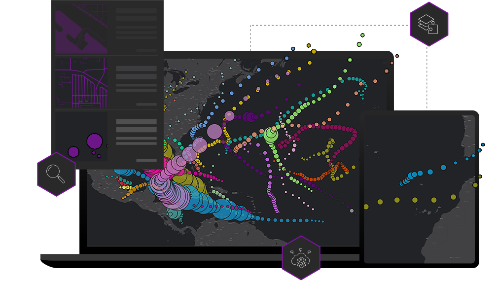
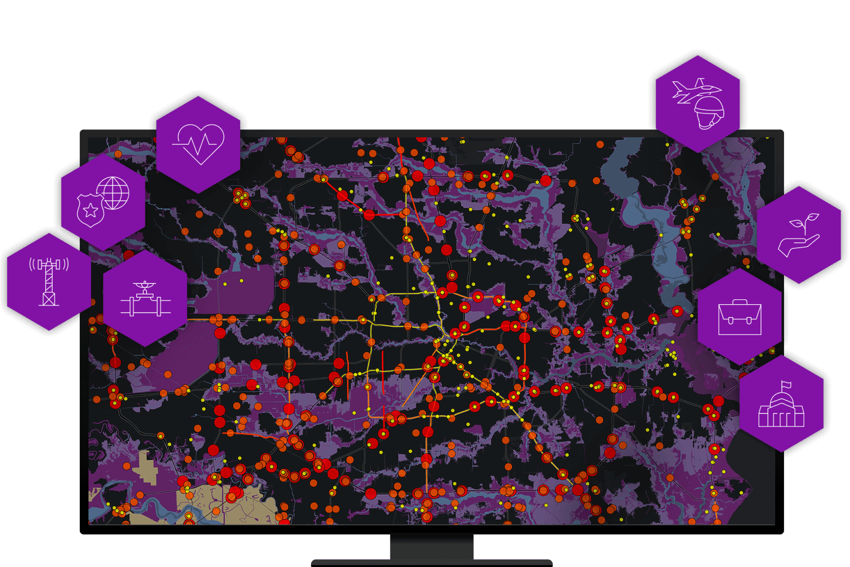
Intersecting business and technology
ArcGIS Solutions align with your business needs, transform your use of ArcGIS, and help you maximize the investment you are making in location-based data and technology.

Valuable ArcGIS configurations
ArcGIS Solutions reduce the time it takes to deploy geoenabled solutions in your organization and increase the business impact they make.

Flexible deployment options
Leverage the power of ArcGIS and its flexible deployment options. Get ArcGIS Solutions up and running quickly with your ArcGIS Online organization or deploy them with ArcGIS Enterprise on infrastructure you manage behind your firewall.

How it works

License your ArcGIS software
ArcGIS Solutions leverage contemporary ArcGIS capabilities licensed by your organization and help you apply them to business needs.
Search for a solution
Explore a collection of ArcGIS Solutions that can help you manage authoritative data, gain new insight, and deliver key capabilities to stakeholders.
Deploy a solution
Quickly deploy ArcGIS Solutions to your ArcGIS organization, configure it to meet your needs, and load your authoritative information.
Industries
Business needs
Business
Fusion Center can be used to conduct threat mitigation on incidents affecting organizational assets from multiple event feeds.
Conservation
Conservation Outreach can be used to track wildlife conflicts and engage stakeholders in and around protected areas.
Defense
Readiness Management can be used to understand and communicate comprehensive unit and force readiness.
Intelligence
ArcGIS Pro Intelligence can be used to visualize, explore, and analyze disparate data to produce actionable intelligence.
Public Safety
Emergency Management Operations can be used to manage incident operations and maintain situational awareness during emergency response and recovery phases.
State and Local Government
Equitable Property Value can be used to share authoritative property information, educate taxpayers, and collect feedback from taxpayers when they are concerned about the equity of their property value.
Utilities
Water Distribution Data Management for ArcGIS Online can be used to map assets, edit data, view water system maps in the field and office, view asset reports, and collaborate with map notes.