In today’s attention economy, capturing and maintaining audience engagement is more challenging than ever. Audiences are inundated with information and increasingly expect content to be available within the digital experiences they already use—whether on mobile devices, websites, social platforms, or messaging applications. Organizations need new ways to communicate that are both engaging and accessible, helping them reach audiences where they are and deliver information in formats that are easy to consume and share.
To meet this demand, we are excited to announce that ArcGIS StoryMaps frames are now fully available to organizations using ArcGIS Online. Frames introduce a mobile-first storytelling experience designed to help organizations reach audiences beyond a traditional webpage. Combining storytelling with maps, apps, dashboards, multimedia, and other ArcGIS content, frames deliver visually engaging experiences that are optimized for smartphones and easy to share across digital channels.
Meet and communicate with your audience where they are
Whether highlighting key insights, promoting initiatives, sharing updates, or driving awareness, organizations can use frames to create concise, engaging experiences tailored to the way people discover and consume information today. With support for rich ArcGIS content and a format designed for modern engagement, frames help organizations extend the reach of their stories and connect with audiences in new ways.
Frames are designed to help organizations transform ArcGIS content into mobile-friendly experiences that are easy to discover, view, and share. By integrating directly with the ArcGIS ecosystem, organizations can incorporate existing maps, apps, dashboards, and other content into experiences optimized for today’s digital audiences.
Transform Passive Consumption into Active Exploration
Frames provide a strategic advantage for organizations that need to communicate information quickly, effectively, and at scale. By combining mobile-first design with built-in sharing capabilities, frames help organizations extend the reach of their ArcGIS content and engage audiences through the social channels they already use.
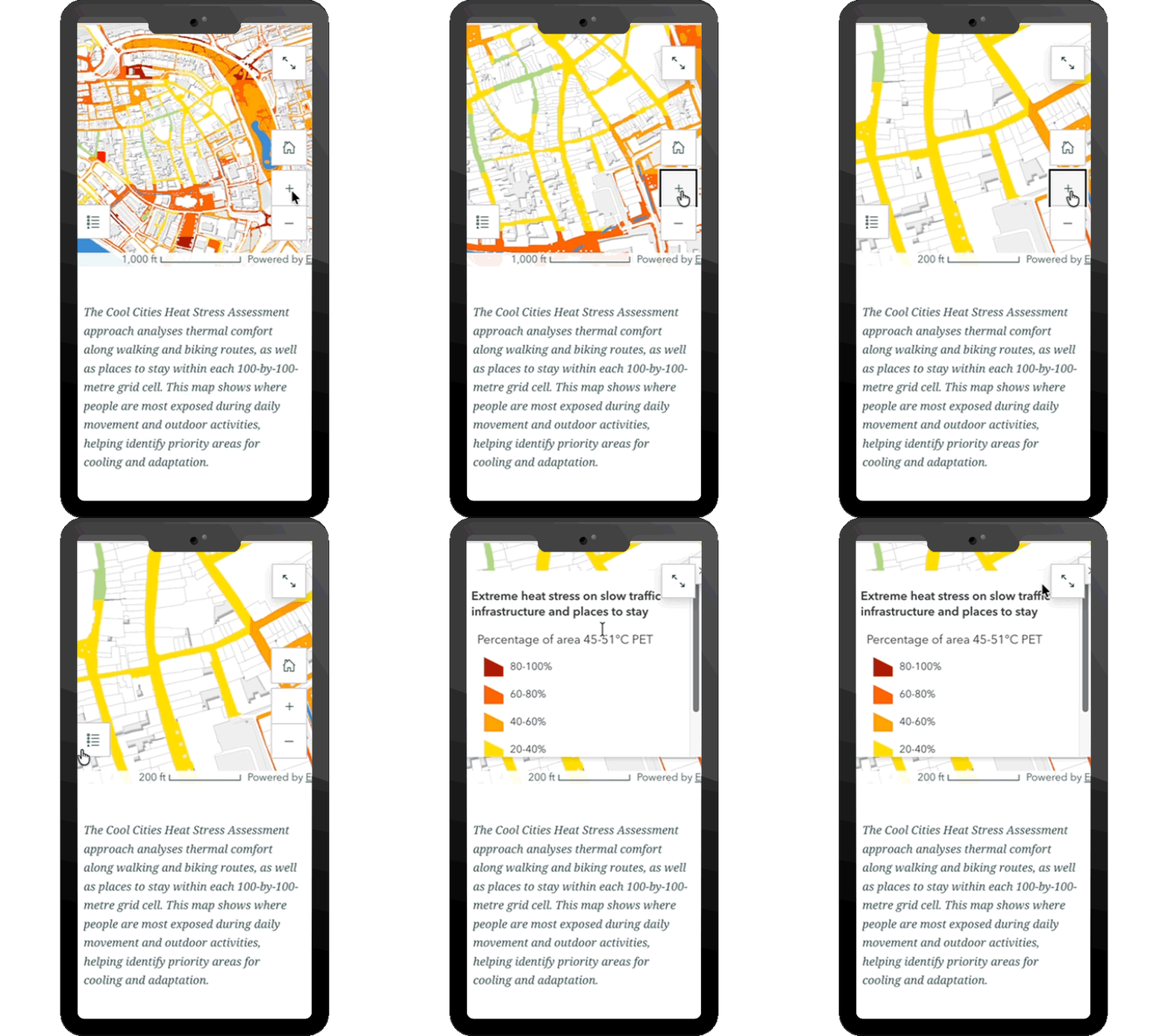
Key Advantages
Turn Views into Interaction
To stand out in fast-moving social feeds, frames include built-in tools that help amplify your reach across digital channels. At the time of publish, it can generate video and PDF assets based on high-resolution screenshots of the frame’s slides, making it easier to share information, capture attention and drive audiences into interactive experiences.
Fast Creation, Easy Updates
Frames are quick to build and simple to maintain. When changes or updates are needed, organizations can simply edit the existing frame and republish. This eliminates the need to delete and repost, ensuring the message stays perfectly in sync across all channels of communication.
Expanded Audience Reach
Frames help organizations meet audiences by enabling them to share maps, apps, and stories where people already spend their time rather than requiring users to navigate to a website. Frames removes barriers to access, making it an effective tool for public communication. Audiences do not need an ArcGIS account or specialized application to view content, ensuring important information is broadly accessible.
By making ArcGIS content easier to discover, consume, and share, frames transform maps, apps, and data into engaging communication experiences designed for today’s mobile audiences.
Practical Applications
This combination of accessibility and fast creation make ArcGIS StoryMaps frames ideal for a variety of critical use cases:
- Emergency Response and Public Safety: Share real-time updates during wildfires, hurricanes, power outages, and other evolving situations through interactive maps and situation reports.
- Public Infrastructure and Services: Keep residents informed about road closures, construction projects, service interruptions, and other community updates.
- Campus and Event Navigation: Help students, visitors, and attendees navigate unfamiliar environments with interactive maps and location-based information.
- Organizational Updates: Share project portfolios, surveys, awareness campaigns, announcements, and other initiatives through engaging mobile-first experiences.
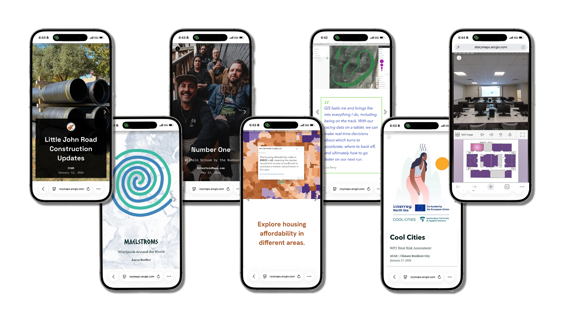
The Answer: Frames
You already have the data, maps, and stories. Frames provide a mobile-first format for sharing them with broader audiences. By making ArcGIS content easier to discover, consume, and share, frames help organizations extend the reach of their communication efforts and engage audiences through the channels where they already spend their time.
Ready to see what you can do with frames? We’ve put together an easy-to-follow guide to help you create your first frame.



Article Discussion: