ArcGIS StoryMaps is the professional storytelling tool that enables you to transform your geographic work into interactive content to inform and inspire others. It makes it easy to explain complex topics related to your knowledge and experience. ArcGIS StoryMaps is updated regularly with new features and capabilities, and here’s what’s been added recently:
Redesigned publishing
Publishing is a critical step in the life of every story. It’s that watershed moment when you, as the author, decide: my work is ready to share with others.
ArcGIS StoryMaps provides many options to customize your published story. This month we’ve updated the publishing experience with a new Publish options screen that looks great and brings important options front-and-center. This new screen also provides quick access to other options that you might not have been aware of or that you forget to set before publishing.
In Publish options, you can customize the story card, which is the set of information that is shown when your story is shared. For example, if someone shares your story on Twitter, the information in the story card is what appears in the tweet. This information is also shown when your story appears in ArcGIS content lists and in ArcGIS StoryMaps. Given the importance of this information, you are now presented with the ability to review or edit this information every time you publish.
Other useful settings are also available in the story builder, such as the ability to set the story language, adjust how or whether the date is displayed on the cover, or configure analytics to track reader engagement. These options are also not new, but you’ll now have a quick way to review or update them each time you publish. Just click the Story settings link at the bottom of the Publish options screen.
Check out the video below for a walk through of the new publish options.
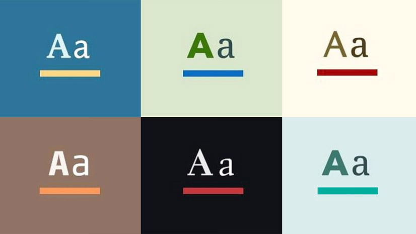
Contrast checker for improved accessibility
Accessibility is an important consideration for anyone creating content on the web. To ensure your story is readable by others, it is recommended that you follow best practices for meeting color contrast guidelines.
One of the most important times to consider color contrast guidance is when building a theme. In theme builder, you’ll now see warnings when colors you’ve selected don’t meet color contrast guidelines. You can expand the warning dropdown to see more information about the calculated contrast ratios between your selected text and background colors and how they compare to the guidelines. As you make adjustments in the color picker, the warnings will update instantly based on your new color selections making it easy to home in on legible color combinations.
This guidance is also available in the story builder whenever you set the color of text. The video below shows the new color checker in action.
For more information about creating accessible content with ArcGIS StoryMaps, see Getting started with accessible storytelling.
And more…
Our team has been spending time on stability and maintenance fixes to make ArcGIS StoryMaps even more useful and reliable. One item of note is an issue that caused spellcheck to stop working has been addressed. You can refer to the release notes for details of what has been added, changed, and fixed in each release.
Thanks to StoryMaps editorial team member Will Hackney for his contributions to this post.
Banner photo by davisuko on Unsplash


Article Discussion: