
As a small park with only a few staff, the park relies heavily on educational and interpretive information to provide the public with the knowledge about the uniqueness of park lands, its beautiful resources, and how to protect these special places. Developing our story provided that opportunity in an exceptional and creative way, allowing anyone to visit this remote park and experience its beauty through this virtual program.
—Sara Dolan, Integrated Cultural and Natural Resources Manager, San Juan Island National Historical Park
Hike through pristine coastal prairies, launch your kayak, and spy an endangered island marble butterfly — all virtually through the “Discovering San Juan Island’s Natural Diversity” story by the U.S. National Park Service.
The story team — a GIS intern, GIS specialist, and two dedicated park staff in the Resources Stewardship Division of the San Juan Island National Historical Park — used a combination of GIS technologies, video, high-resolution photography, and acoustic recordings to create a multi-sensory experience.
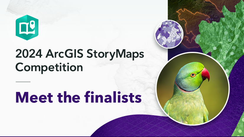
Esri’s StoryMaps team selected Discovering San Juan Island’s Natural Diversity: Ecosystems of San Juan Island National Historical Park as the first-ever Storytelling with Maps Innovation Award Winner in the 2024 ArcGIS StoryMaps Competition.
The StoryMaps team recently sat down with three of the winners — Sara, Claire, and Micah — to discuss their storytelling techniques and process. The following conversation has been edited for brevity and clarity.

StoryMaps team (SM): How do you use GIS tools to achieve your goals to manage the park and its resources?

Sara: For many years, the park has utilized GIS to record, track, and monitor natural and cultural resources, and as result, we have compiled a robust GIS dataset. This includes maintaining spatial data for endangered and imperiled species, native and invasive plants, archeological sites, historic structures, cultural landscapes, and the location and extent of ecosystems. The park also maintains GIS data for park roads, trails, facilities like the Visitor Center and restrooms, utilities, and parking lots.
The collection and maintenance of spatial data supports resource protection and informs how we carry out a variety of park projects, conduct research and interpretive activities, and benefit public use of our lands.

SM: How did the interactivity of ArcGIS StoryMaps help you tell the story of the San Juan Islands?
Micah: To create an interactive experience for all ages and abilities, the story builds around the 3D scene which allowed us to show people the diverse geography of the park.
We paired that with soundscape audio clips from each ecosystem, illustrations, written descriptions, and photos of landscapes and plant and animal species. All these features helped create this interactive environment which lets people experience the park in a new and exciting way.
SM: What ArcGIS StoryMaps features were your favorite to tell your story?
Sara: My favorite features are the acoustic recordings of the natural landscape and pairing that with the digital “bird’s-eye” surface model. As you scroll through each landscape and listen to the sounds, it truly creates a unique experience, like you are flying over the park.
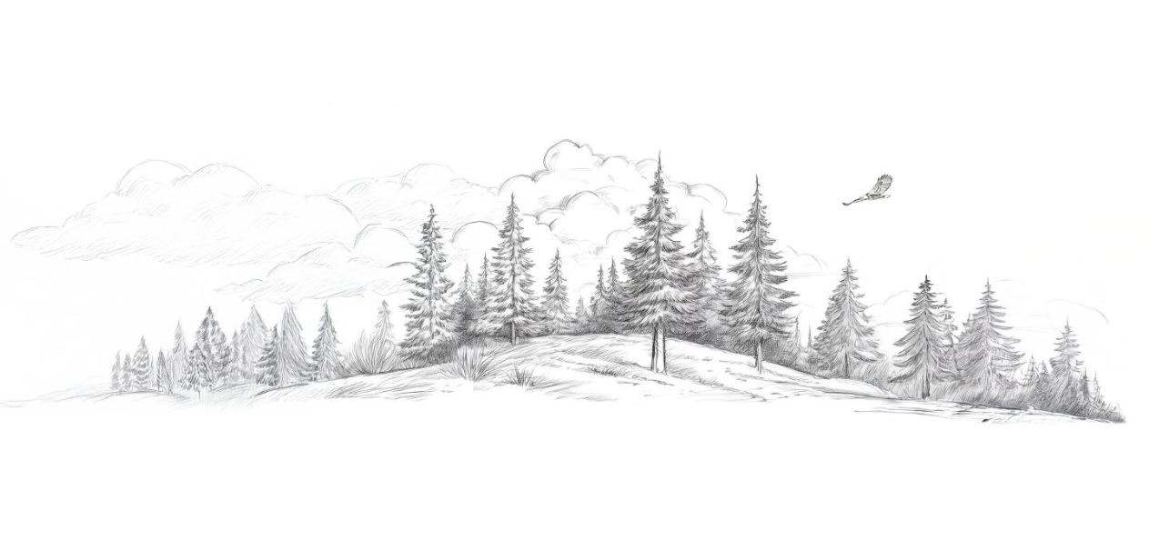
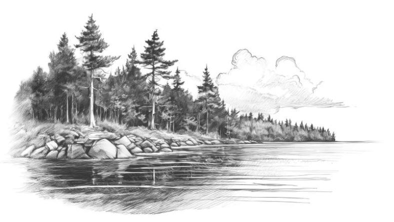
I also love the black and white drawings that help transition through each ecosystem and topic. The use of multiple artistic techniques truly makes it an immersive experience.
-
...


Micah: The 3D scene was really fun to work with. We used a digital surface model of the area to take viewers on a tour of the park’s ecosystems from a bird’s-eye view. The 3D park view showed the connection among landscapes and how elevation and shape affect those landscapes.
Claire: ArcGIS StoryMaps allows viewers to scroll the story at their own pace and click through experiences to find hidden information like 3D maps, acoustic recordings, videos, and pictures. These features, I think, help the viewer slow down, be present, and absorb the experience.
SM: What did your storytelling process look like and how did you make decisions about narrative, visuals, and design? How are the different stakeholders on your team and partners involved in that process?
Sara: For many years the park has struggled to find a good medium to communicate the complexity of park ecosystems and the diversity of species they support. The ability to tell rich and fluid stories through the functionality of ArcGIS StoryMaps seemed like the perfect solution.

For the purposes of this story, we used ecosystems as the backbone and created a list of associated plant and animal species. We further refined the list to highlight the most celebrated, unique, and iconic species such as camas and the island marble butterfly. Once we finalized our list, each highlighted system/species required written content, which amounted to over forty descriptions to write!
After the outline was finalized and the draft story began development, we started amassing a collection of existing photos for each ecosystem and species. That allowed us to find gaps in the areas where we needed photos and additional spatial data. Because the story took many months to create, that gave us opportunities to take advantage of the changing seasons, which allowed for beautiful photos and a wide breadth of acoustic recordings. Following the completion of the first draft, we sent the draft story to a robust list of reviewers.
Overall, the story took seven months to develop but was well worth the time and effort based on the creative and immersive product we developed.
SM: What additional steps can storytellers take to ensure that local voices are represented and heard in collaborative storytelling?
Sara: Our story relied on input and review from a wide array of local and technical experts which resulted in a more holistic story. This included expertise from GIS and interpretive specialists, local scientists, NPS resource specialists from multiple divisions like biology, wildlife, inventory and monitoring, and cultural landscapes, and traditionally associated Coast Salish tribes.
The different perspectives ensured that the story engaged and excited the public — from first-time visitors to locals to a virtual experience.
SM: What were your biggest successes and challenges creating the story?
Sara: Our biggest successes were also our biggest challenges: Effectively we were a small team that were all new to using the dynamic technologies of ArcGIS StoryMaps creation.
The main architect, Micah, was hired through a GIS internship and only had a six-month window to complete the project from start to finish, while learning about a new place and a new park at the same time. Claire and I had to write over forty small stories highlighting each ecosystem and species, which amassed to a lot of written content, plus multiple rounds of editing. We also realized throughout the process that we needed to collect additional data, photographs, GIS, and audio recordings, which took a lot of strategic and careful planning. One of the key challenges was making sure that the written content was easy to follow and engaging, so involving the support from science communication specialists was necessary to complete this task.
Given these challenges, we were able to successfully work together and create a dynamic, unique, and one-of-a-kind experience. The biggest success overall was how beautiful and creative the story turned out to be, which shows the passion and drive we all had to achieve this daunting task!
SM: Based on your experience participating in the competition, why do you think other storytellers should get involved?
Sara: We’ve really enjoyed viewing other’s stories throughout this process and wouldn’t have otherwise gotten the opportunity to view and learn from others without the competition. There are so many wonderful stories to tell and to learn from — that’s what makes this world so special.
SM: What are some other projects you’re excited about incorporating ArcGIS StoryMaps into?
Sara: Continuing consultation efforts with the park’s traditionally associated Coast Salish tribes and adding ethnographic content highlighting areas of cultural significance.
SM: Do you have any final advice or thoughts for our readers?
Sara: It’s amazing what a small team of highly skilled and passionate people can create.

San Juan Island National Historical Parks protects rare and endangered species, provides unparalleled recreation opportunities, and creates space for deep contemplation and artistic expression. Working on this project has given us an even greater appreciation for the landscapes stewarded by the U.S. National Park Service, and this entire process has been extremely rewarding for us, our collaborators, and the public.
This featured storyteller interview was prepared as a part of the June 2025 Issue of StoryScape℠ | Hitting the road.
For more interviews and articles like this one, be sure to check out StoryScape℠, a monthly digital magazine for ArcGIS StoryMaps that explores the world of place-based storytelling — with a new theme every issue.


Article Discussion: