ArcGIS Video Server enables indexing, searching, publishing, and streaming video as a service with geospatial and temporal context. Service-enabling your videos allows you to use them inside of your enterprise GIS, the same way you use imagery and other types of data. Many different industries collect video data, and it can be a crucial resource for uses like remote inspection and situational awareness.
New Client Applications in ArcGIS Pro
We are excited to announce that support for ArcGIS Video Server’s video layers is coming to ArcGIS Image Analyst and ArcGIS AllSource by end of May 2024. When signed in to your Portal, you will see video layers as a data type in both the Add Data dialog and the Catalog pane and view.
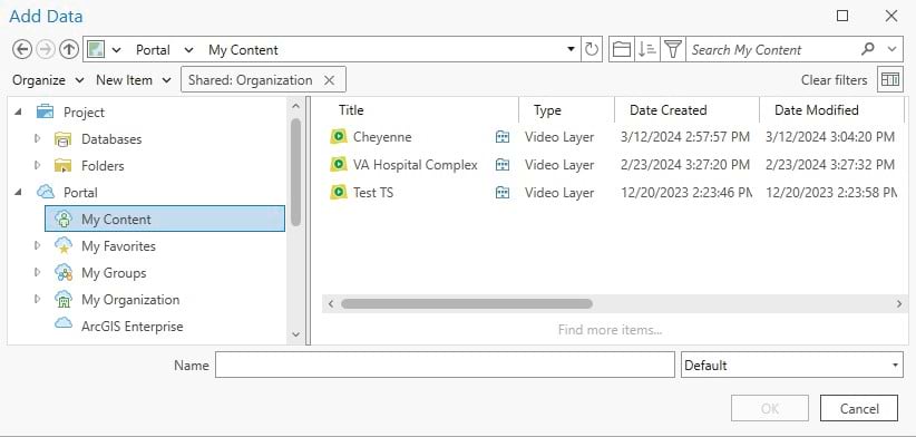
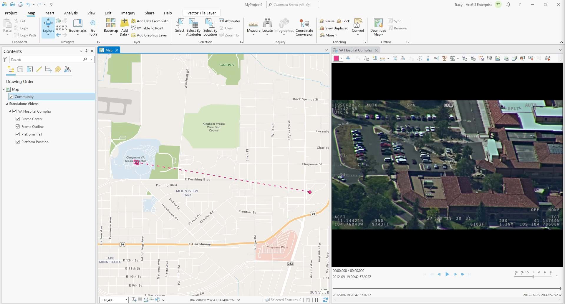
In this example, there are 3 video layers in My Content that can be added to the ArcGIS Pro project. We continue to work on the playback window in the desktop, but you will find the Full Motion Video tools work seamlessly with either video files or the new video services.
Raising Quality Standards
This spring, ArcGIS Video Server has made several improvements to the publishing workflow. At the 11.3 release, the publishing system begins to use the queuing system to support multiple requests. The 11.3 release also includes a newly designed interface for publishing services. And improvements to stability and performance also are a part of recent development work.
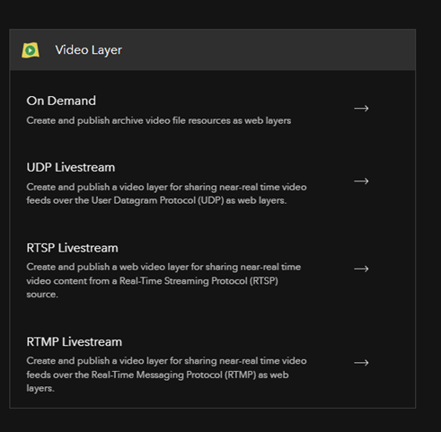
Publishing services in ArcGIS Excalibur have a new look and show the types of video services that are available.
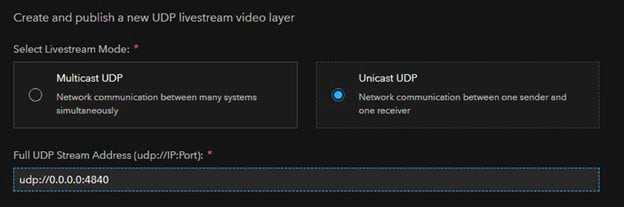
If we know we have a stream broadcasting using User Diagram Protocol or UDP, we can select that option and open the next screen where we set up the connection information and the options for the service. The first part of the page is where we select if the stream is in a multicast or unicast mode. Then we are prompted for the full UDP address of the stream, including the port number. Being able to store this information is a key part of the service, making it easier for end users to use the video layer like any other GIS layer. The video layer saves time and effort on connecting, reconnecting, and needing to know all of these details to connect each time.
The Motion Imagery Team will be at the that 2024 Esri User Conference this summer in San Diego. Come find the Motion Imagery booth in the Imagery Section at the Expo. In the meantime, check out the Video Server Resource Page for tutorials, blog posts, and more and sign up for product news to stay up-to-date on the latest on ArcGIS Video Server.


Article Discussion: