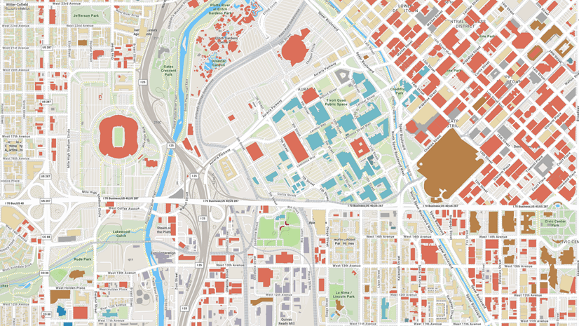
Esri is among several organizations who recognize the importance of high quality, reliable, and accessible map data. Access to open data allows for more complete, accurate, and extensible mapping projects. So, we are pleased to announce the release of Open Basemap styles which are built with Overture Maps data. The Overture Maps Foundation creates easy-to-use and interoperable open map data with a vision that shared open base layers will drive collaboration and innovation across industries and communities.
Esri has long focused on enriching the global maps and services available to everyone by making it easy for campuses, cities, counties, states, and nations to share their local data. Joining the Overture Maps Foundation as a general member allows Esri to continue this initiative and help enable the sharing of authoritative, open data for the broader GIS community.
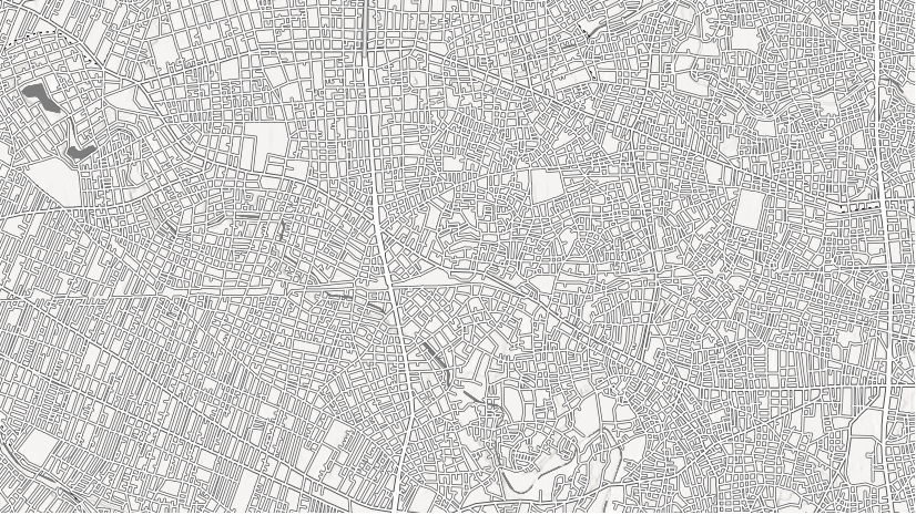
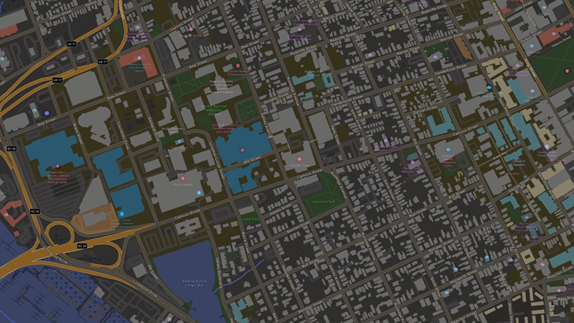
The basemap data and styles represent features and labels for land, water, roads, buildings, cities, places, and administrative boundaries and can be accessed via ArcGIS Location Platform and ArcGIS Online. Open Basemap will be offered in many styles, a few offerings are listed below:
- OSM Style
- OSM style relief
- OSM style relief base
- Navigation
- Navigation dark
- Streets
- Streets relief
- Streets relief base
- Streets night
For more information on the style offerings or to see a full list of the style offerings please visit the Open Basemap styles on the ArcGIS Basemap Styles service page.

Article Discussion: