Esri is excited to introduce ArcGIS for ServiceNow, a new integration that connects the ArcGIS and ServiceNow platforms to bring location intelligence directly into business workflows.
Organizations rely on multiple systems to manage their business operations. ServiceNow is a leading IT service management platform that provides tools for managing business workflows, including tracking assets, incidents, work orders, and service requests, while ArcGIS provides the location intelligence needed to understand what is happening in the real world. Previously, these systems have largely operated in parallel. With the introduction of ArcGIS for ServiceNow, organizations can connect these platforms to bring geographic context to business data such as permitting, facilities, IT operations and services. This will allow organizations to visualize business workflows, identify patterns, and prioritize work based on location.
Many ArcGIS customers are already using ServiceNow across industries such as utilities, telecommunications, and government, there is a clear and growing demand to unify these two systems. Organizations want to work with their business data without having to move or duplicate data to a new platform to leverage their operational data in a geographic context. Instead, they want to visualize what’s happening, where it’s happening, and take action without leaving the systems they already depend on.
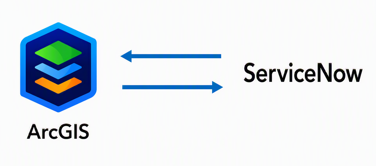
ArcGIS for ServiceNow connects the platforms in both directions to support cross-platform workflows. It includes two components, each designed for a distinct workflow.
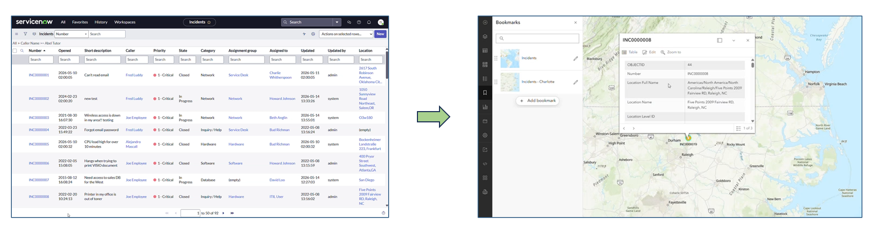
First, organizations can access ServiceNow data directly within ArcGIS in real time: the Connector for ServiceNow is built for ArcGIS users who want to bring ServiceNow business data into their GIS workflows. It allows users to access live ServiceNow data such as incidents, assets, and work orders directly inside ArcGIS Enterprise. The data remains in ServiceNow while being available for mapping, analysis, and other areas across the ArcGIS platform. There is no need to move or replicate data, ensuring accuracy and reducing maintenance overhead.
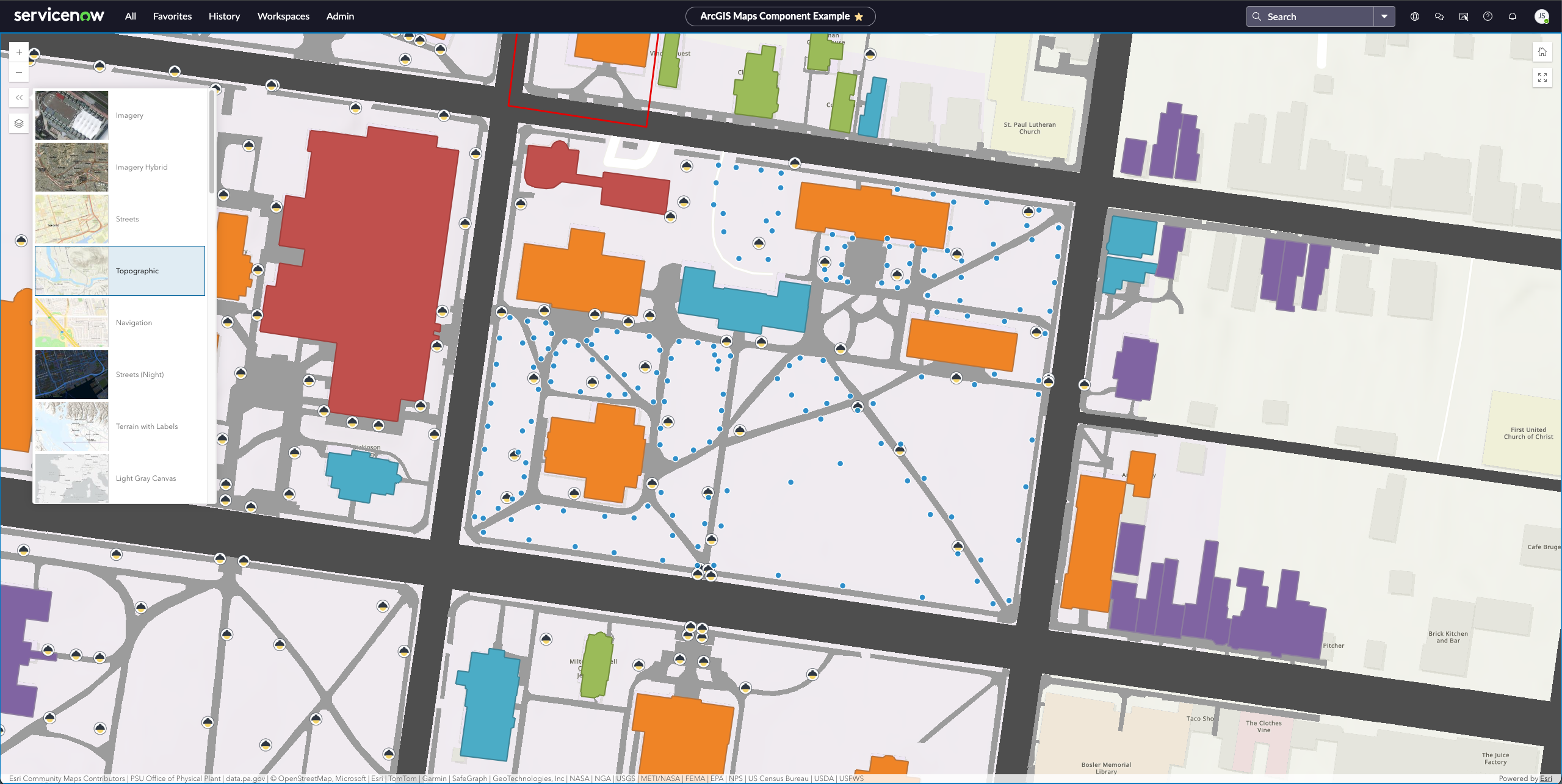
Second, ArcGIS capabilities are embedded directly within the ServiceNow experience: ArcGIS Maps for ServiceNow is designed for ServiceNow users. Organizations will soon be able to access this application in the ServiceNow store, enabling users to visualize business data on interactive web maps and web scenes from the organization’s enterprise GIS, explore patterns in a geographic context, and take action, such as initiating service requests or work orders, directly in the display. This allows teams to move seamlessly from insight to action within their existing workflows.
The integration also reflects a broader strategic shift. Operations are becoming increasingly digital, but understanding those operations still requires a connection to the physical world. Location provides the bridge between these systems. By combining ArcGIS and ServiceNow, organizations can align business data with the physical world without disrupting existing processes.
ArcGIS for ServiceNow represents an early step in the integration between the two platforms. For organizations already using ServiceNow, it will be easier than ever to add the power of mapping and spatial analysis to support business workflows. For organizations new to ArcGIS, this integration offers a straightforward way to start using location to better understand and manage their business data. We will be showcasing ArcGIS for ServiceNow as a technology preview at the Esri User Conference in San Diego (July 13-17). Attendees can see the integration in action, connect with experts, and learn how to get early access by visiting us at the System Integration kiosks located in the Design, Build, and Sustain ArcGIS Systems showcase area of the UC expo.
Notice: The ArcGIS for ServiceNow Beta Program closed on September 25th, 2026.
ArcGIS for ServiceNow integration will also be discussed in these sessions.
| Session Title | Date & Time | Location | Description |
| Spatially Enabling Business Systems (Insight/Spotlight Talk) | Tuesday, July 14 2:30–2:50 PM |
Implementation Strategies Expo Theater, SDCC | Location matters—whether you are managing assets, optimizing logistics, or enhancing customer engagement. This focused presentation explores how integrating spatial data and GIS capabilities into core business systems, including platforms like ServiceNow, enables smarter decisions and improves operational efficiency across your organization. |
| Integrating ArcGIS with Other Business Systems | Thursday, July 16 2:30–3:30 PM |
Room 16A, SDCC | This presentation explores high-level approaches to integrating ArcGIS with business systems, including enterprise asset management (EAM), customer relationship management (CRM), computer-assisted mass appraisal (CAMA), enterprise resource planning (ERP), and enterprise service management (ESM) platforms. Speakers will discuss technical integration patterns at the application, services, and data tiers, highlighting how geospatial capabilities can extend core business workflows. |


Article Discussion: