Esri offers different points of interest (POI) datasets available in Business Analyst allowing users to add businesses and landmarks for analysis in their projects. Some countries offer multiple POI datasets to choose from, leading to the question, “What dataset is right for my use case?”
The United States and Canada both have three different POI datasets to choose from. All these datasets have basic attributes like name, address, and North American Industry Classification System (NAICS) 2022 codes, however, each of these datasets have unique strengths that may make them perfect for your analysis.
Data access
POI data is accessible however your organization accesses Business Analyst. Reference our FAQ document for more detail on POI data.
ArcGIS Business Analyst Web App (Standard and Advanced)
- Available through the points of interest (POI) search in a user’s project.
- Limited to 5,000 POI results per search.
ArcGIS Business Analyst Pro
- Local data: Data Axle POI can be licensed as part of Business Analyst local datasets. A key benefit to using local data is that your analysis will not consume credits. To learn more about local data read our blog linked here.
- Online data: Sign into your ArcGIS Online organization and set the Business Analyst data source to the Portal dataset. This will provide access to online data in ArcGIS Pro using Business Analyst.
ArcGIS Business Analyst Enterprise
- Requires ArcGIS Enterprise base deployment. Linked here are the server roles, extensions, and user types provided with ArcGIS Business Analyst Enterprise.
- Access POI data through BA Web App and ArcGIS Pro in your ArcGIS Enterprise organization.
- Data Axle is the only POI data source available in ArcGIS Enterprise.
Dataset overview
Data Axle
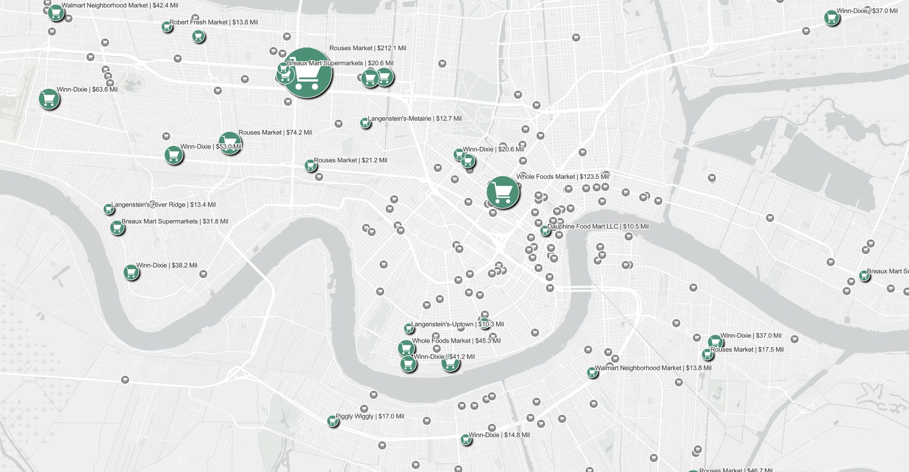
A business focused POI dataset that provides information on metrics such as number of employees, physical size, and sales volume where applicable. Also available are chain name, affiliated organization, headquarter name, place type (describing business category), landmark, brand names, and business specialties. Data Axle is offered in ArcGIS Online and part of local datasets users can purchase.
SafeGraph
A business and landmark POI dataset that captures both business, landmarks, and natural features. This POI data source offers the unique field open hours for availability information, parent businesses (e.g. a Starbucks operating within a Walmart), and brand name. SafeGraph POI data is only available through ArcGIS Online.
Foursquare
A business and landmark open source POI dataset. Esri uses Foursquare’s open source data for POI coverage in countries without dedicated providers. The data, sourced from user check-ins, third parties, and web crawls, varies in quality by country.
Country availability for each POI data source
| POI Data Source | United States | Canada | Puerto Rico | Global | Esri Documentation |
| Data Axle | ✓ | ✓ | ✗ | ✗ | Data Axle documentation |
| SafeGraph | ✓ | ✓ | ✓ | ✗ | SafeGraph documentation |
| Foursquare | ✓ | ✓ | ✓ | ✓ | Foursquare documentation |
When to use each dataset
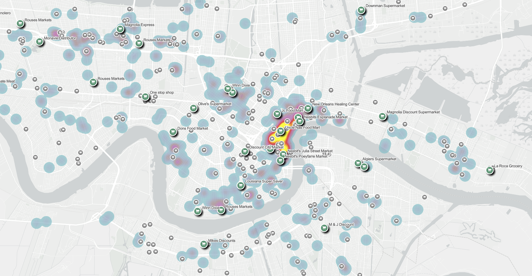
- Use Data Axle with void analysis to evaluate competitive landscape and potential “cannibalization” scenarios.
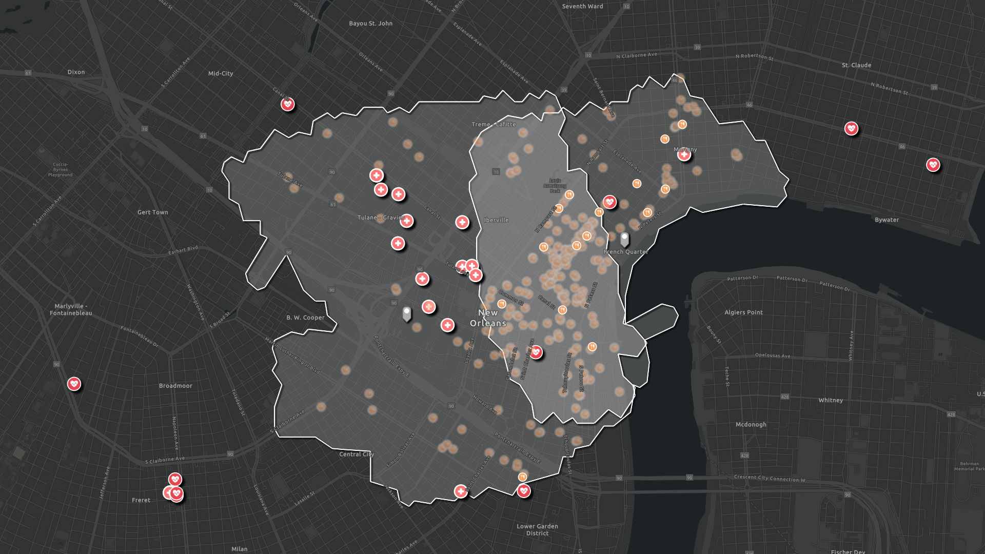
- Use SafeGraph with nearby analysis to identify businesses that are open when looking for food access or hospital services in a geography.
- Use Foursquare when evaluating POI data outside of the United States, Canada, or Puerto Rico.
| Use Case | Recommended Dataset | Why |
|---|---|---|
| Where are my competitors and how strong are they? | Data Axle | Includes sales volume, employee size, and business details for competitive analysis. |
| Where is there market gap / void analysis opportunity? | Data Axle | Most complete business dataset for identifying saturation vs opportunity. |
| Which businesses are open late or at specific hours? | SafeGraph | Only dataset with open hours filtering. |
| Analyze foot traffic–adjacent features (parks, landmarks, etc.) | SafeGraph | Includes non-business POIs like parks and public places |
| Run global analysis (outside U.S./Canada/Puerto Rico) | Foursquare | Only dataset with global coverage. |
| Need detailed attributes (size, revenue proxies) | Data Axle | Richest business-level attributes. |
Quick decision guide
- Choose Data Axle when:
- Detailed business intelligence and performance information is required for an analysis.
- Conducting a site selection, void analysis, or competition analysis.
- Choose SafeGraph when:
- Open hour or time-based business information is required to understand accessibility.
- Understanding the relationships between business locations and public spaces (like parks, landmarks, or local tourist attractions).
- Analyzing consumer behaviors by time of day.
- Choose Foursquare when:
- The project requires international data.
- There is a need for broad coverage of businesses over detailed business attributes.
- Data is needed to fill in gaps where other datasets are unavailable or sparse.


Article Discussion: