If you are a developer using ArcGIS location services, we’ve made a number of content and UX improvements to the Mapping APIs and location services guide that we wanted to share with you.
Get started faster
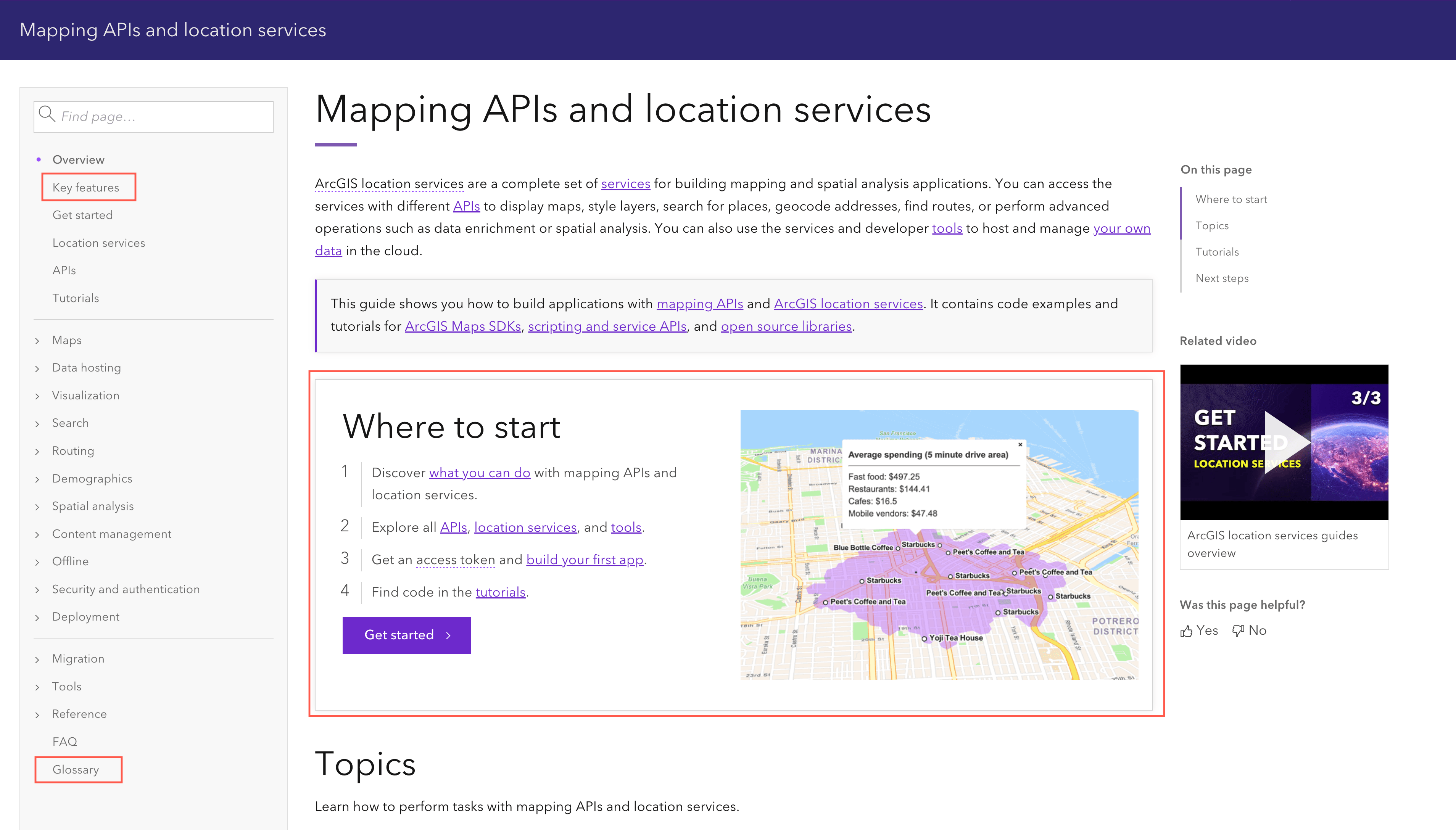
To help guide you to important resources, the landing page has a new Where to start section. There’s also a new Key features page and a quick link to the developer glossary.
 |
Find key features and resources
A new key features page contains use-case driven cards so that you can easily find content relating to your task at hand. Each card takes you to the most relevant page, code sample, or tutorial in the guide. The cards also contain the API(s) and/or tool(s) that you can use to accomplish the task.
 |
Discover tutorials available for APIs
The Tutorials page was also improved so you can determine whether a tutorial requires a tool or one or more ArcGIS Maps SDKs, scripting APIs, or open source libraries.
 |
Learn about API keys
We added new content to the API key page and tutorial to better explain how developers with different accounts can create, scope, and manage API keys for applications. This includes a section to help you scope API keys to specific services and use referrers to provide an additional layer of security for your applications.
 |
Use quick links to video content
We also provided links to related videos for you to view and included the relevant timestamps in case you want to skip through parts of the video.
 |
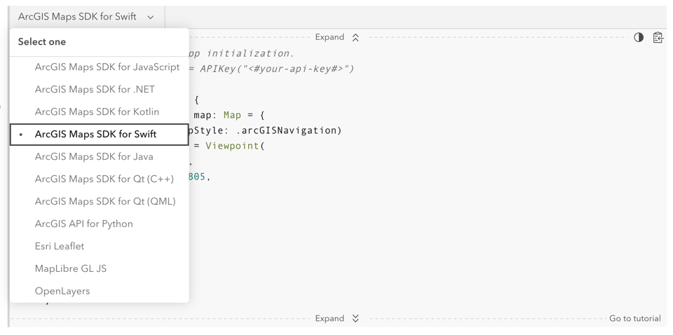
Get code for new ArcGIS Maps SDKs
Finally, code snippets and links are now available for the new ArcGIS Maps SDKs.
 |
We are always working to improve our documentation, so let us know what you think! Tweet us at @ArcGISDevelopers or leave feedback on any of the guide pages.


Article Discussion: