The ArcGIS Drone2Map 2026.1 assistant is a new beta feature bringing the power of AI directly into Drone2Map. By transforming complex project tasks into simple, conversational interactions, it is designed to boost productivity and change the way you work. Here is a closer look at what it can do and how you can be part of shaping it.
Ask. Explore. Deliver.
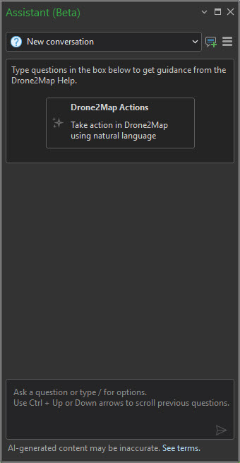
The Drone2Map assistant is your starting point for every question. Ask about processing settings, explore best practices, and get the answers you need to deliver your best work, all powered by artificial intelligence and drawn from Drone2Map documentation and related resources in real time. New users can get up to speed quickly, while experienced users can dig deeper into advanced capabilities without ever leaving the application.
You can ask things such as:
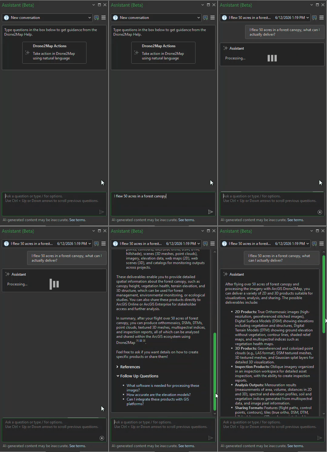
“I flew 50 acres in a forest canopy, what can I actually deliver?”
“I just swapped cameras and don’t want to memorize new settings, tell me what’s mandatory vs optional”
“I process very large collections of imagery with RTK drones, what are some way to ensure my processing is efficient and produces the best results.”
Empower your projects
The Drone2Map assistant is built for more than conversation. It is designed to get things done. Through a curated set of automated actions, you can direct Drone2Map to create products, activate features, and streamline complex processing tasks, all without leaving the chat interface. This shifts the way you work with Drone2Map from searching for the right setting to simply stating your intent.
Put your data to work with actions like:
“Turn on every product so I don’t miss anything”
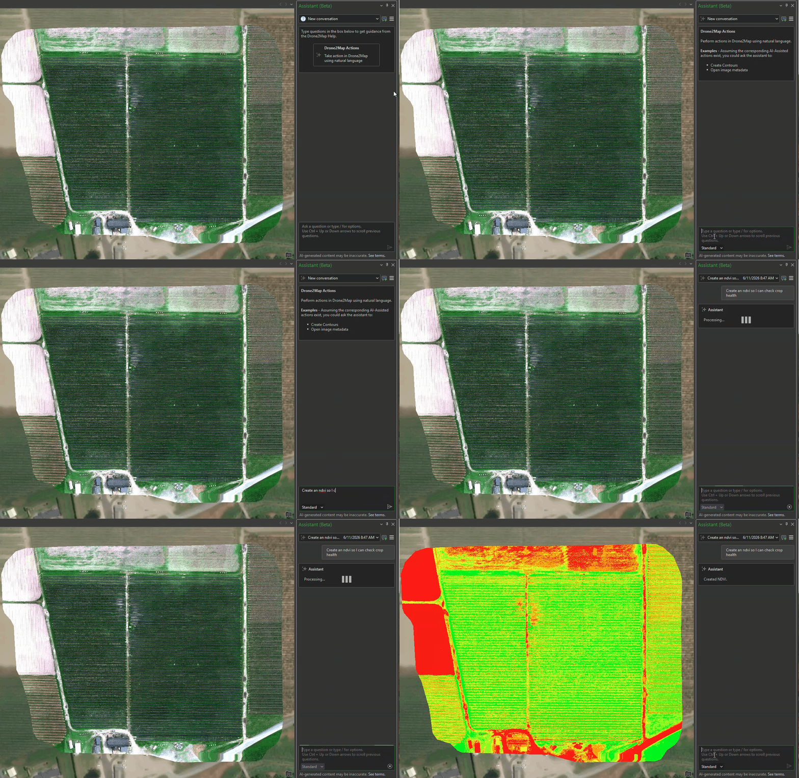
“Create an ndvi so I can check crop health”
“I need a dsm shaded relief with a multidirectional hillshade, azimuth of 34, z factor of 2”
Actions can be executed across multiple processing modes, allowing you to tailor the assistant’s reasoning to the scope and complexity of each task:
- Standard – Start here for most requests
- Enhanced – Use when your task has multiple steps or specific constraints
- Complex – Best for open-ended or hard to describe requests
Choosing the right mode improves response accuracy and efficiency, though keep in mind that modes reset with each new conversation.
Active Learning Phase
The ArcGIS Drone2Map assistant is a living feature, shaped by real user feedback and interaction. Your input directly influences what we prioritize and where automation can make the biggest impact. As with any generative AI, you may occasionally need to rephrase a request to get the best result. This is completely normal, and something that should become less noticeable over time as our modeling improves.
What to expect from the beta:
- Growing Action Set: Currently, a limited set of actions are enabled within the assistant; however, more actions are under development. And if you are part of the Early Adopter Community (EAC) or considering joining, your feedback in testing this new feature will help determine what to prioritize next.
- Evolving Intelligence: The assistant continuously learns and adapts, resulting in dynamic responses that can evolve as you refine your interactions. This variability is normal and expected.
How to get started
1. Join the beta – Sign up on the EAC site and follow any instructions. Ensure ArcGIS Drone2Map is installed.
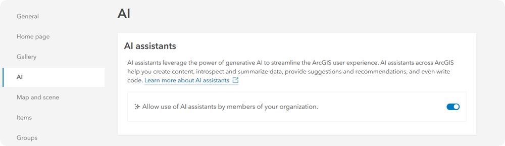
2. Sign in – Launch ArcGIS Drone2Map and sign in to your ArcGIS organization. Ensure that your ArcGIS Organization allows beta features and has AI assistants use enabled. If you don’t have access to organizational settings then please check with your administrator.
Note: The Drone2Map Assistant requires an internet connection to work.
3. Open the assistant – Navigate to the Help tab -> Assistant (Beta) button and open the pane to start exploring.
The ArcGIS Drone2Map assistant is entering an open beta phase starting June 15th 2026. Be one of the first to test it out and provide feedback that helps shape its development!

Article Discussion: