The newest version of ArcGIS Drone2Map has arrived, bringing a range of powerful features and enhancements designed to elevate your drone mapping workflows. In this blog, we’ll spotlight some of the most noteworthy updates.
Enhanced Speed, Precision, and Flexibility
The latest updates to the ArcGIS Drone2Map processing engine deliver faster results and greater accuracy, empowering teams to move quickly on time-critical projects.
Performance improvements for Gaussian splats now reduce the processing times of large datasets, while High and Ultra point cloud density settings capture finer detail.
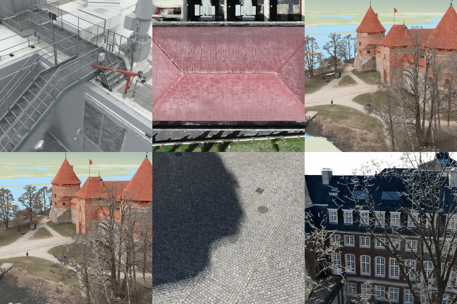
Gaussian Splats have further increased the fidelity, resulting in even more accurate representations of thin structures, high-frequency textures, and dimensional precision.
New rapid mode delivers fast results for urgent scenarios
A new Rapid point cloud density option can be selected to significantly reduce processing times, enabling fast creation of True Orthos and digital surface models in a fraction of the usual processing time.
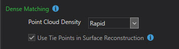
Ideal for time-sensitive scenarios such as disaster response, emergency inspections, and active construction management.
Improved Image Calibration
Image adjustment has been enhanced with more flexibility by offering a challenging adjustment mode.
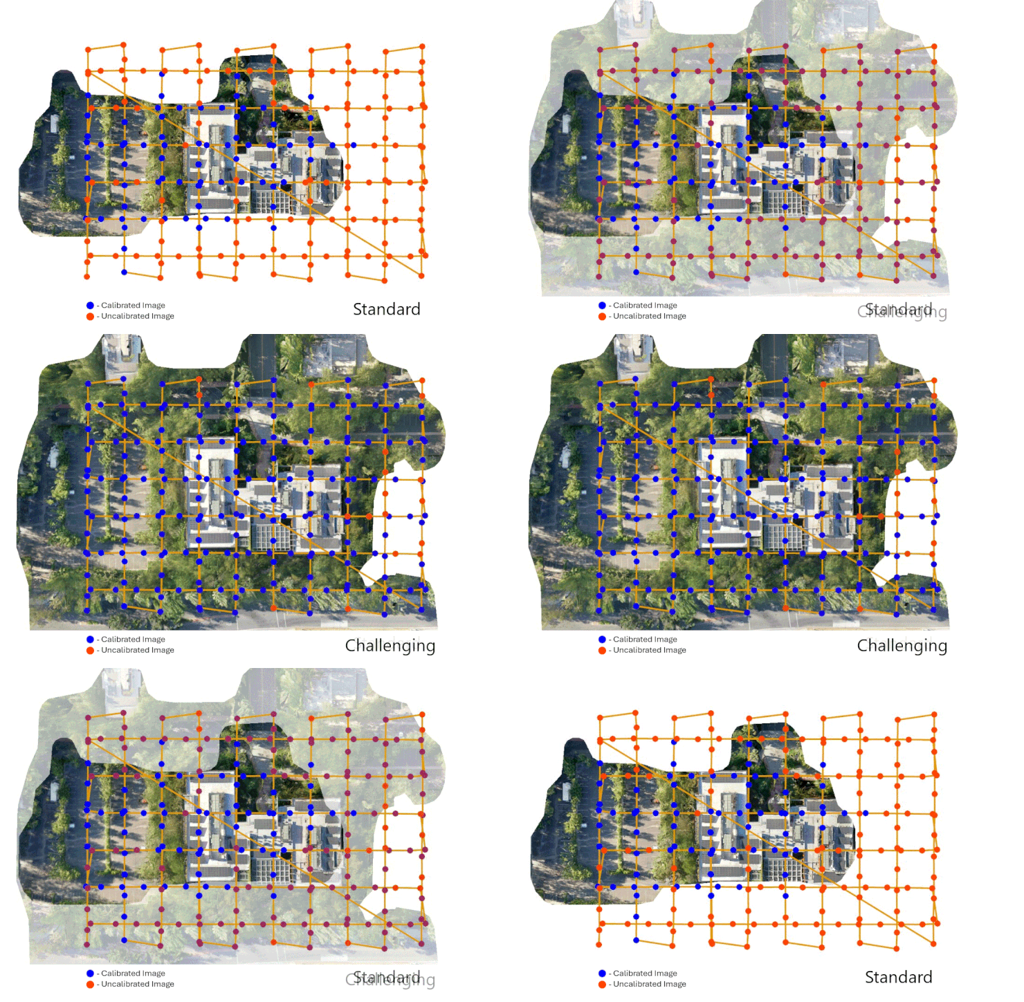
This new mode improves calibration and overall quality for difficult imagery such as low-contrast scenes, vegetation-heavy areas, or environments with minimal distinct features.
Extended DJI thermal support
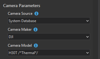
Support has been expanded for the latest DJI thermal camera platforms, including Dock 3, Zenmuse H30T, Zenmuse XT S, and Matrice 4T, enabling the seamless processing of thermal imagery from those cameras into accurate True Orthos.
Create and share oriented imagery layers
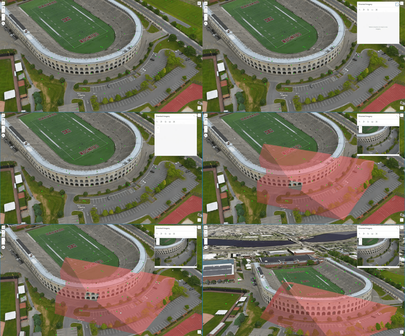
Projects can now be easily shared as Oriented Imagery Layers to ArcGIS Online or ArcGIS Enterprise. When combined with 3D Mesh or Gaussian Splat layers in a web scene, you can unlock immersive 3D inspection workflows that allow you to explore highly detailed environments.
Efficient web mapping with cloud-optimized output formats
Raster output workflows have been modernized with the Cloud Optimized GeoTIFF (COG) format for merged TIF products. Designed for efficient cloud access, COG files leverage internal tiling and overviews to improve performance and responsiveness.
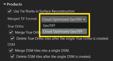
To further enhance scalability, new output formats, including Meta Raster Format (MRF) and Cloud Raster Format (CRF), are now available for True Ortho, DSM, DTM, and Shaded Relief products. These cloud-optimized formats deliver faster load times and smoother navigation, making it easier to work with even the largest datasets.
Ground control improvements for high-accuracy projects
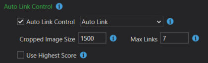
Auto link detection is now over 30% faster, delivering significant time savings while maintaining high accuracy, especially for large projects with extensive ground control points, reducing setup time from alignment to results.
When importing ground control points in a geographic coordinate system, you can now define any project coordinate system instead of defaulting to the nearest UTM zone.
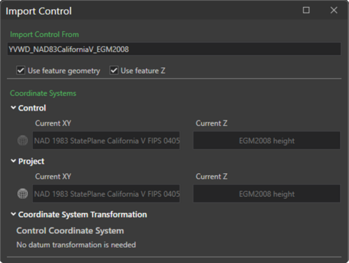
This eliminates the need for reprojection and saves valuable time. If a transformation is required, it can now be applied seamlessly during the same step for a more efficient workflow.
Licensing update
With the introduction of the new Reality Mapping user extension, ArcGIS Drone2Map is now available through a simplified licensing model that includes full advanced capabilities for all users. This change expands access to powerful desktop drone mapping workflows while making it easier to manage licenses across your organization. Read more about how this impacts Drone2Map and your workflows in this blog.
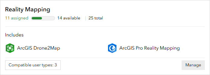
If you are assigned a Professional or Professional Plus user type, the 300 gigapixel limit for Drone2Map projects will no longer be present, allowing for the processing of large datasets without having to be split into sub-projects.
Reduce workflow friction with the Drone2Map Assistant (beta)
The Drone2Map Assistant streamlines common tasks and simplifies setup with the use of actions, as well as helps navigate documentation to enhance the understanding of any of the workflows.

Starting June 15th, users can join the Early Adopter Community to participate in the beta and help shape its future: ArcGIS Drone2Map Assistant (beta).
Stay connected with our Esri Community group and join the conversation on enhancements coming in the future. Be sure to check out our help documentation for a detailed breakdown of what’s new, and watch our What’s New in Drone2Map 2026.1 video for a visual walkthrough of the latest features.
Article Discussion: