Esri has made exciting improvements to the current (2025/2030) household income estimates. These changes provide greater insight into household income distribution across the United States.
This article introduces the new income categories, new methodology for aggregate income, and updates to other income-related data.
Quick links
- Expanded Income Categories
- Improved Summary Statistics Calculations
- Implications for Other Related Tables
- Additional Resources
- Explore Esri Demographics

Expanded Income Categories
The most significant change in this release is the update to household income categories. The number of intervals in these categories has expanded from nine to twenty. This expansion creates opportunities to understand more granular income insights and make more detailed analyses.
You will find more nuanced income information for all households, particularly those in the highest income tiers ($200,000+). Esri updated the top income interval and divided it into five new, distinct categories. Using the chart below, here’s a quick look at all household income interval changes:

The table displays the new income intervals in white and the summary intervals in blue. The 2025/2030 dataset nests the new income intervals within the previous dataset’s intervals, enabling backward compatibility and comparisons to prior releases.
The summary intervals are consistent with the previous year’s income estimates. These intervals are available to allow users ample time to transition to the new, expanded income categories.
Mapping extended income data ranges
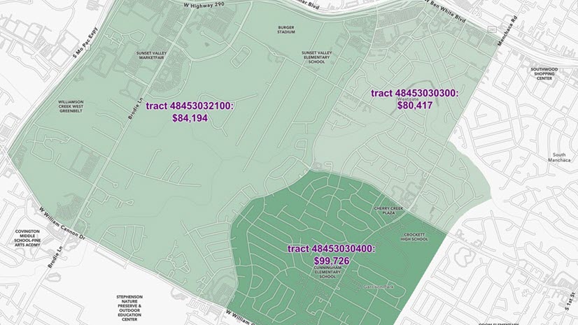
To begin using the new data ranges, let’s start by looking at the concentration of households that earned over $500,000 in 2025 compared to those earning over $200,000.
The maps below illustrate the predominant income brackets in the greater New York metro area. Figure 1 highlights areas in pink where households earned $200,000 or more, with large sections of Manhattan and Brooklyn noted for high-income concentrations.
Figure 1


Figure 2 shows the new extended income intervals highlighting households that earned $500,000 or more in 2025. Notice the additional detail compared to Figure 1, with areas that are shaded purple and blue indicating very high incomes.
Figure 2


Improved Summary Statistics Calculations
As household income categories expand and aggregate income calculations improve, Esri’s summary statistics also continue to evolve. Esri has recalibrated the methodology used to calculate median, average, and per capita income to capture the finer details of this new 20-interval income distribution.
The following graphic highlights what has been improved with each summary statistic measure:

Median Income
Esri calculates Median Income using a Pareto interpolation that responds to the number of intervals. The shift to twenty intervals yielded more detailed and precise Median Income values, particularly in areas with high concentrations of households at the tails of income distribution.
Average Income
Esri calculates Average Income by dividing Aggregate Income by the total number of households and uses intervals and midpoints to inform the ranges. Aggregate Income is the total income all households earn in a region. Esri sums all household incomes using a midpoint approach for income intervals and a representative income value for each household in an interval to estimate the aggregate.
Esri’s 2025/2030 Average Income calculations have three key improvements:
1. Midpoint Methodology—Esri recalibrated the midpoints used in Average Income calculations to align with reported small-area data rather than broad socio-economic patterns and groupings. This change means that Average Income values are now influenced by more localized data, enhancing accuracy.
2. Impact of Interval Changes—The increased number of intervals affected Average Income calculations because the midpoints are bound by the low and high values in each interval. With more detailed intervals, Average Income values more accurately reflect the full income distribution.
3. Uppermost Intervals—For households earning over $500,000, (the uppermost interval), Esri employs modeling techniques to estimate the midpoint. The change in top-coded intervals from $200,000 to $500,000 shifts more households into bounded intervals and reduces the number of households in the top interval, improving the accuracy of Average Income estimates.
Per Capita Income
Esri estimates Per Capita Income from the sum of Aggregate Household Income plus the income earned by non-household population (e.g., people living in dorms and nursing homes). Using new methods, Esri aligns the income from non-household population to reported small area estimates while smoothing inconsistencies from the source data.
Income Tiers and Inequality Measures
To clarify income distributions and income inequality measures, Esri consistently categorizes households into lower, middle, and upper tiers. The new twenty-income intervals form the basis for the 2025/2030 income tiers and inequality calculations. The top interval in the upper tier is now $500,000 (previously $200,000) and more details generally inform how this data contributes to these measures.
Be cautious, however, when comparing the new values with earlier data releases, particularly in regions with high concentrations of income above $200,000. Share ratios are also updated due to the improvements to Aggregate Income estimates. These metrics are built using Esri Updated Demographics’ current and forecast year estimates of households by income.
Implications for Other Related Tables
The enhancements to the household income model impacts related tables, such as Age by Income, Disposable Income, Net Worth, and the Wealth Index.
Here are highlights of the improvements made to these measures:
Household Income by Age—Esri used the previous nine income intervals and seven householder age groups to estimate Household Income by Age. The average estimates are consistent with the overall household income, which means that the sum of Aggregate Income for each age group adds up to the total Aggregate Income. Improvements made to the aggregate and Average Income calculations are reflected in the breakdown by age for this measure. Differences are most apparent in age groups with concentrations of households in the highest and lowest intervals.
Disposable Income—Esri’s Disposable Income estimates also use the nine income intervals and seven householder age groups. The Average Disposable Income estimates also build on midpoints developed in the household income model. The Average Disposable Income calculation includes the improvements made to household income midpoints. The midpoints were constructed using local data directly rather than stratified by socio-demographic grouping.
Net Worth—Esri Age by Household Income and Tenure data are the foundation for the Net Worth estimates. For the 2025 dataset, Net Worth leverages the new household income estimates to enhance the model for high-income households. The intervals reported are unchanged.
Wealth Index—Esri’s Wealth Index compiles various indicators of affluence, including Average Household Income and Average Net Worth. With improved methodologies for average calculations, and the availability of more detailed income breaks, trends in the Wealth Index show a break from the past.
Note: Disposable Income, Net Worth, and the Wealth Index have not been included in Esri’s five-year forecasts.
Additional Resources
To learn more about Esri’s household income and methodologies, explore the following resources:
- 2025/2030 Esri Updated Demographics
- Use and interpret income measures
- Esri income tiers and measures of inequality
Explore Esri Demographics
Esri Demographics contains over 15,000 demographic and socioeconomic estimates created by Esri’s Data Development team. Topics include population, housing, consumer spending, market potential, ArcGIS Tapestry, and much more. Esri Demographics is available throughout ArcGIS in the following products:
- Find ready to use layers and maps from ArcGIS Living Atlas.
- Identify sites and evaluate markets with ArcGIS Business Analyst, demographic mapping software.
- Enhance workflows and apps with the ArcGIS GeoEnrichment Service.
- Use the ArcGIS Location Platform Place finding service to enrich your data with additional location-based information about people and places in a specific area.
- Enrich your content with demographic data in ArcGIS Online using the Enrich Layer workflow and in ArcGIS Pro using the Enrich workflow.
- Buy Esri Demographics—Access high-quality, location-based data from the Esri Store.
Contact us at datasales@esri.com.

Commenting is not enabled for this article.