In the July 2021 release of ArcGIS for Office, we have made significant performance improvements and removed the restriction on the number of features you can add to a map at one time. This means processing time is significantly faster, and you can add more data to the map in one go.
Features (Points)
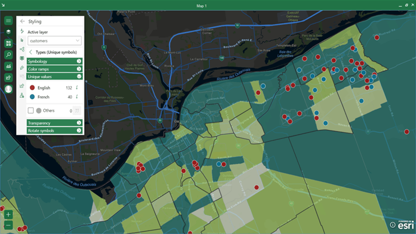
Using Address and Latitude, Longitude location types, you can import point features from Excel to the map. In the prior release, you could only add a maximum of 50,000 features to the map, and with large numbers of features it could take a while. With the July 2021 release, the limitation is removed. Now you can add more than 50,000 features on the map with better performance.
For example, now it takes a few seconds to plot 100,000 features on the map and you can zoom, pan across the map, and select features to display detailed information without any performance degradation.

Large datasets appear on the map quickly, allowing you to work with massive amounts of data from multiple sources—with no lag time.
Areas (Polygons) and Polylines
Using the Geography location type, you can add polygons and polyline datasets to the map. Boundaries include states, provinces, United States ZIP Codes, postal codes, and countries, which are added to the map as polygons. Polyline datasets can be used to represent features like highways and rivers and are displayed as lines on the map. In the previous release, you could only add a maximum of 15,000 polygon and polyline features to the map. With the July 2021 release, you can now add more than 15,000 polygon and polyline features to the map.

You asked, we listened: no more dataset limits in the July 2021 release! With more data on the map and speedier performance, your mapping experience is practically limitless.
The July 2021 release of ArcGIS for Office includes many other improvements and updates, including a redesigned user interface and new analysis tools. Download ArcGIS for Office and try out the performance enhancements yourself!


Article Discussion: