April 20, 2020 | Adam Martin | Sharing and Collaboration Data Flow – ArcGIS Open Platform Series: Part 1
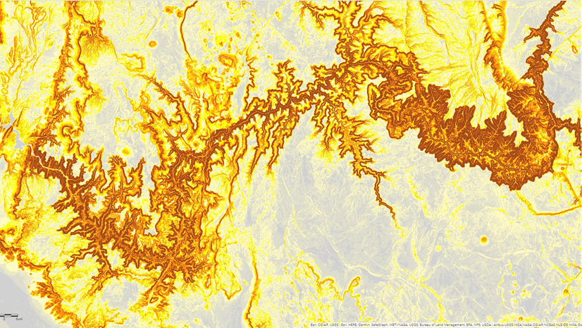
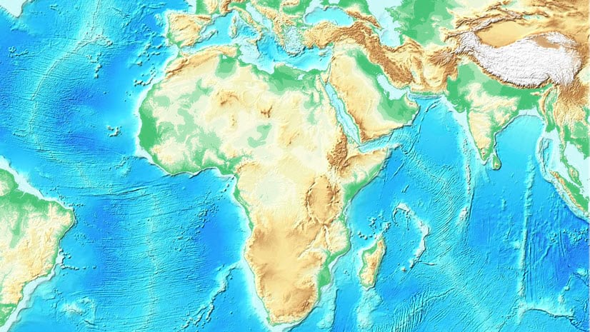
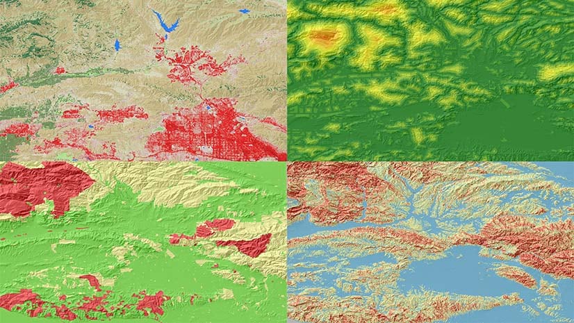
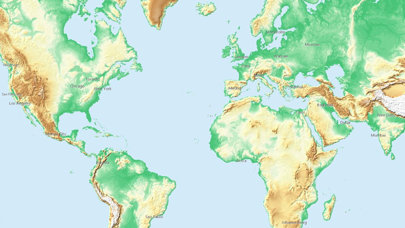
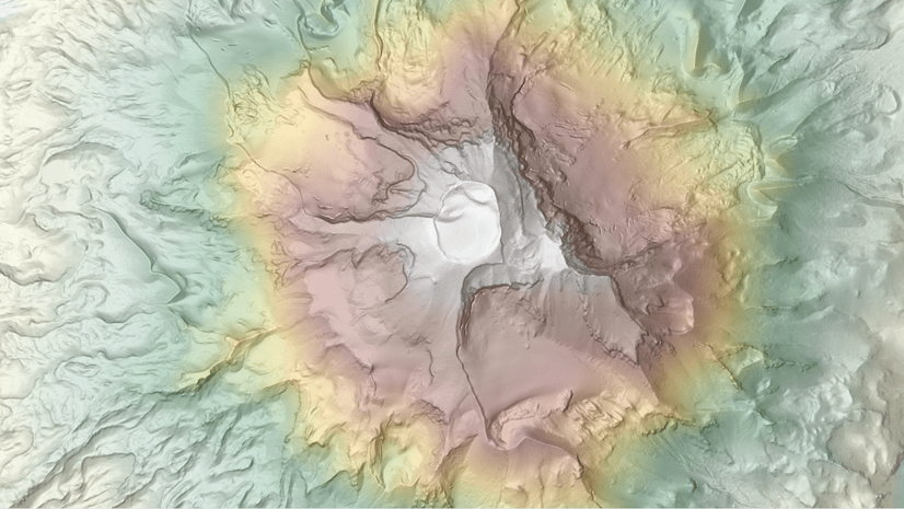
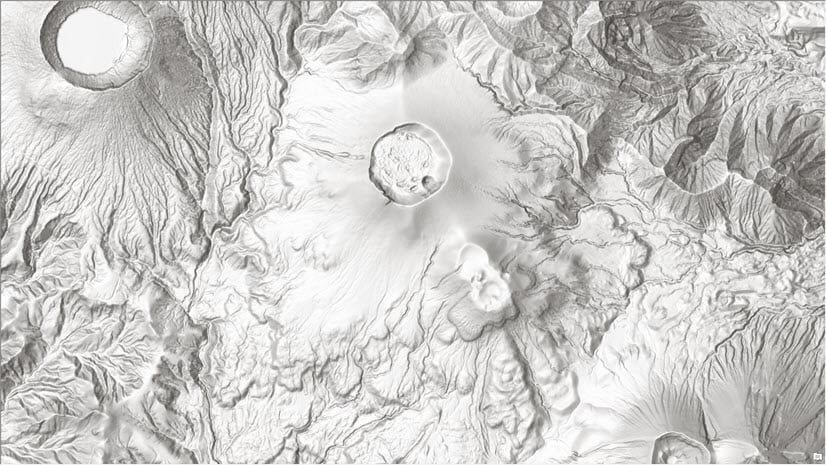
April 16, 2020 | Rajinder Nagi | Imagery & Remote Sensing High resolution data updates to Living Atlas World Elevation Layers (April 2020)
March 10, 2020 | Multiple Authors | Imagery & Remote Sensing Dev Summit 2020: Use raster analytics and the Python API to monitor coral bleaching
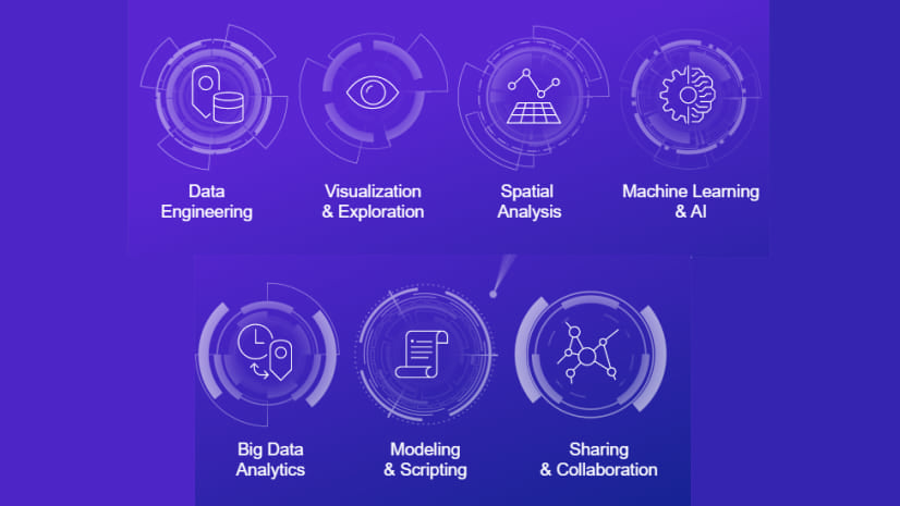
March 10, 2020 | Sara Sanchez | Analytics Dev Summit 2020: Overview of spatial analysis and data science
October 7, 2019 | Rajinder Nagi | Imagery & Remote Sensing High resolution data updates to Living Atlas World Elevation Layers (Oct 2019)
July 8, 2019 | Juan Laguna | Analytics What’s New for Spatial Analyst and Raster Analysis in ArcGIS Pro 2.3/2.4 and ArcMap 10.7
June 12, 2019 | Rajinder Nagi | Mapping High resolution data updates to Living Atlas World Elevation Layers (June 2019)
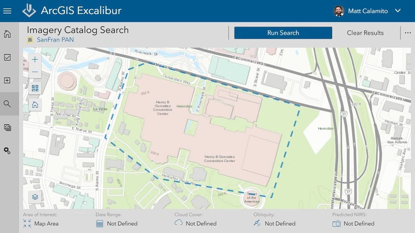
May 30, 2019 | Matthew Calamito | Imagery & Remote Sensing Visit the ArcGIS Excalibur Team at the GEOINT Symposium 2019!
April 10, 2019 | Rajinder Nagi | Imagery & Remote Sensing Updates to Living Atlas World Elevation Layers and Tools (April 2019)
December 21, 2018 | Multiple Authors | Imagery & Remote Sensing Introducing the Spectral Index Library in ArcGIS
November 16, 2018 | Rajinder Nagi | Imagery & Remote Sensing Updates to Living Atlas World Elevation Layers (Nov 2018)
July 20, 2018 | Juan Laguna | Analytics What’s New for Spatial Analyst and Raster Analysis in ArcGIS Pro 2.2 and Desktop 10.6.1.
June 26, 2018 | Rajinder Nagi | Mapping Updates to Esri World Elevation Services and Tools (June 2018)
February 1, 2018 | Katy Nesbitt | Announcements What’s new with Image Server in ArcGIS Enterprise 10.6
January 22, 2018 | Rajinder Nagi | Imagery & Remote Sensing Airbus WorldDEM4Ortho in ArcGIS Living Atlas of the World