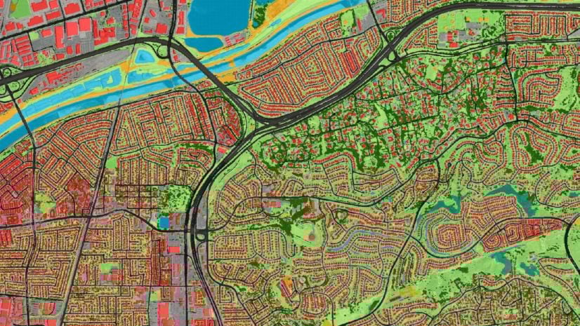
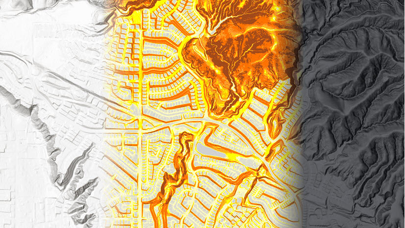
October 31, 2023 | Multiple Authors | Imagery & Remote Sensing Unlocking Landscapes: Landcover Mapping using Pretrained Deep Learning Models
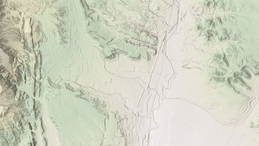
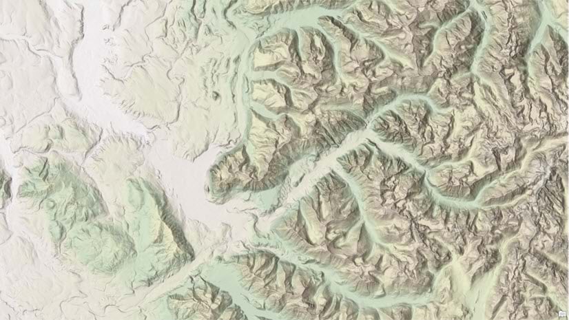
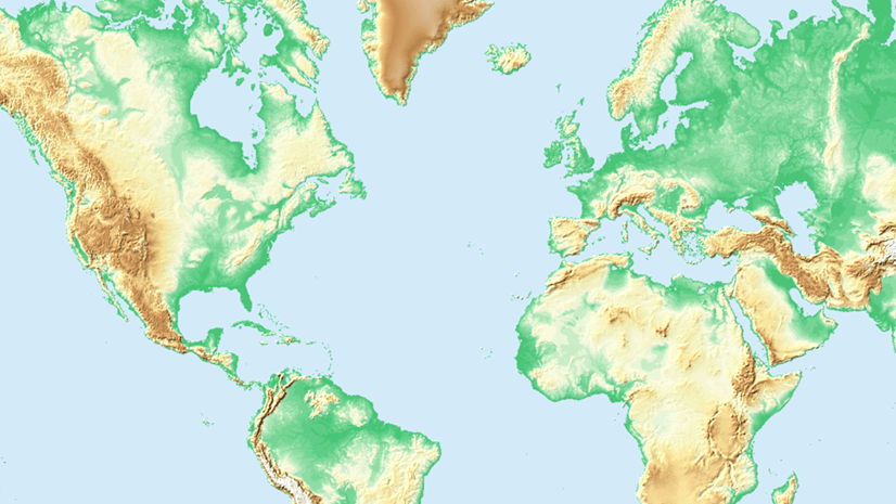
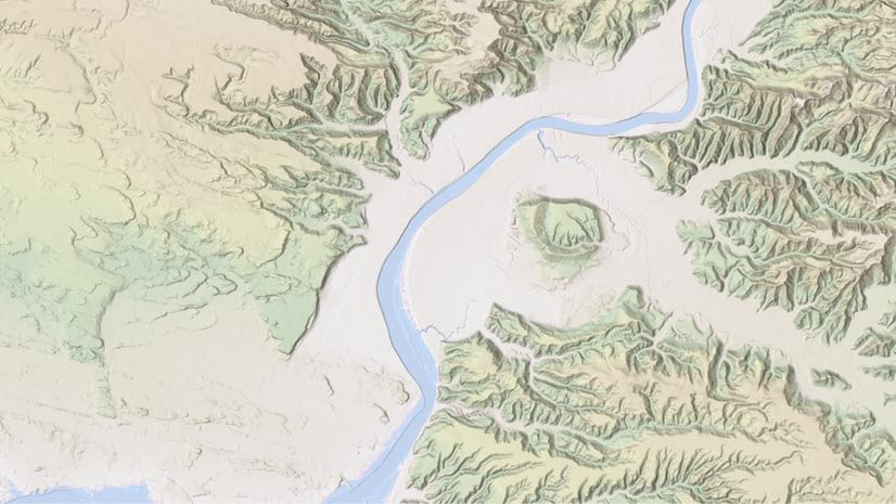
October 26, 2023 | Rajinder Nagi | Announcements High resolution data updates to Living Atlas World Elevation Layers and Tools (October 2023)
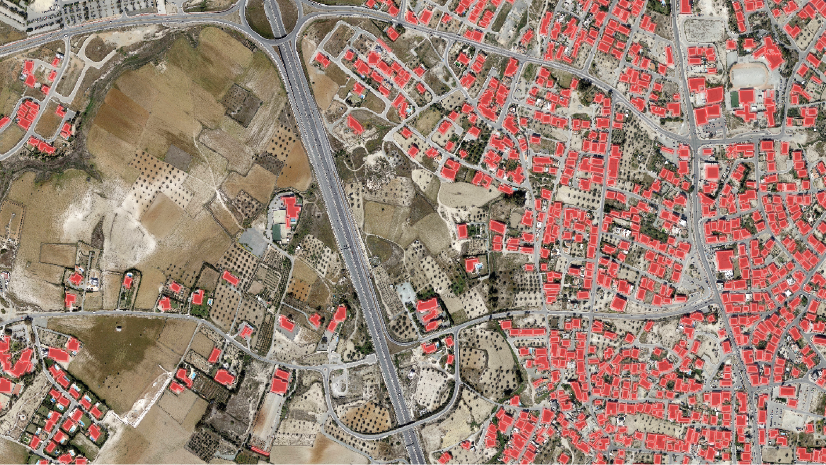
August 16, 2023 | Multiple Authors | Imagery & Remote Sensing Five Considerations When Implementing an Enterprise Imagery Solution
July 18, 2023 | Kristen Maglia | Imagery & Remote Sensing Three Key Trends in Imagery and Remote Sensing from Esri UC 2023
June 30, 2023 | Rajinder Nagi | Announcements High resolution data updates to Living Atlas World Elevation Layers and Tools (June 2023)
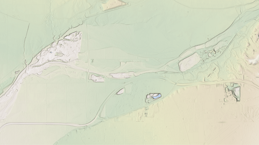
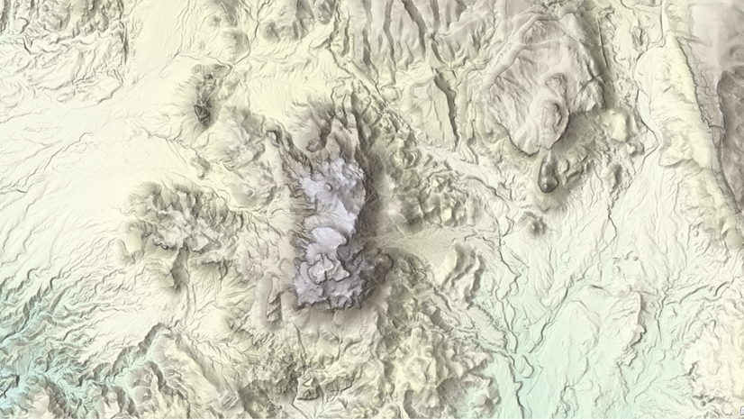
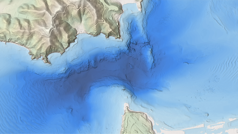
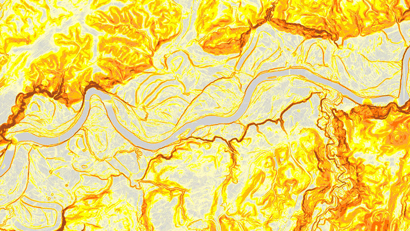
March 31, 2023 | Rajinder Nagi | Announcements High resolution data updates to Living Atlas World Elevation Layers (March 2023)
December 22, 2022 | Rajinder Nagi | Announcements High resolution data updates to Living Atlas World Elevation Layers and Tools (December 2022)
October 7, 2022 | Rajinder Nagi | Announcements High resolution data updates to Living Atlas World Elevation Layers and Tools (October 2022)
June 30, 2022 | Rajinder Nagi | Announcements High resolution data updates to Living Atlas World Elevation Layers and Tools (June 2022)
April 7, 2022 | Rajinder Nagi | Announcements Data updates to Living Atlas World Elevation Layers and Tools (March 2022)
February 2, 2022 | Multiple Authors | Government Dewberry is harnessing the power of machine learning for expedited disaster response
January 12, 2022 | Multiple Authors | Imagery & Remote Sensing Visualize raster using a vector field in ArcGIS
December 23, 2021 | Rajinder Nagi | Imagery & Remote Sensing Data updates to Living Atlas World Elevation Layers and Tools (December 2021)
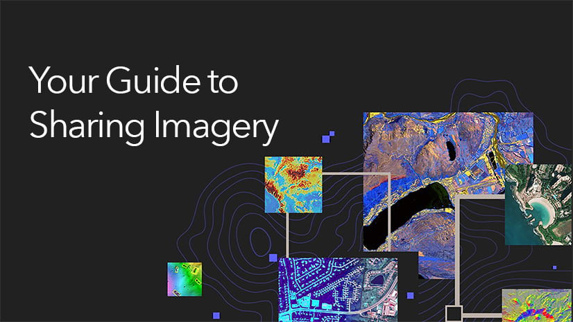
October 4, 2021 | Multiple Authors | Imagery & Remote Sensing Your Guide to Sharing Imagery & Raster Data
October 3, 2021 | Rajinder Nagi | Announcements High resolution data updates to Living Atlas World Elevation Layers (Sept 2021)
June 30, 2021 | Rajinder Nagi | Imagery & Remote Sensing High resolution data updates to Living Atlas World Elevation Layers and Tools (June 2021)
March 26, 2021 | Rajinder Nagi | Imagery & Remote Sensing High resolution data updates to Living Atlas World Elevation Layers and Tools (March 2021)
March 16, 2021 | Michael Young | Administration ArcGIS Server image service and raster analytics security update
September 24, 2020 | Matthew Calamito | Imagery & Remote Sensing Upload Imagery for Use in ArcGIS Excalibur
August 4, 2020 | Sarmistha Chatterjee | Announcements What’s new in zonal analysis in ArcGIS Pro 2.6 and ArcGIS Image Server 10.8.1
August 3, 2020 | Rajinder Nagi | Imagery & Remote Sensing High resolution data updates to Living Atlas World Elevation Layers (July 2020)