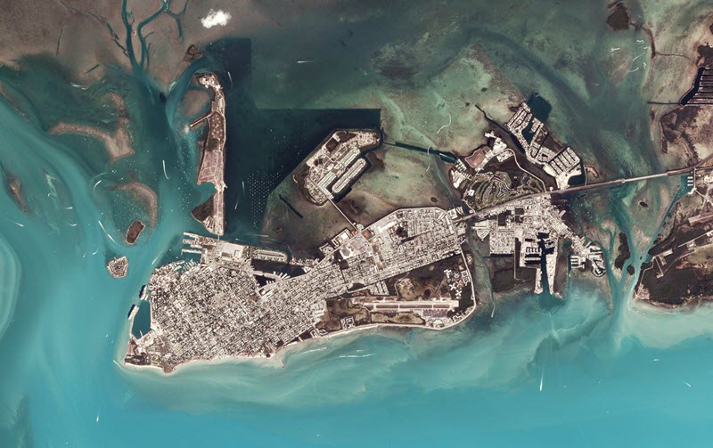
Planet’s high-resolution satellite constellations image the entire world every single day. Both Planet and Esri aim to provide resources that help users turn this wealth of data into visible, accessible, actionable solutions. That’s why Esri has added tools for managing PlanetScope and RapidEye imagery to its array of free, open-source tools that simplify image management in ArcGIS.
With the Python toolbox for managing Planet imagery, users can create mosaic datasets to manage Planet imagery within the familiar ArcGIS environment. With these scripts, data managers can streamline or automate the creation of scalable mosaic datasets, which can then be shared as image services with internal users or users outside your organization.
Imagery from Planet’s PlanetScope and RapidEye satellite constellations supports numerous applications—including mapping, deep learning, disaster response, precision agriculture, or simple temporal image analytics—which generate rich information products. Once managed with mosaic datasets, it’s straightforward for GIS or image analysts to exploit the temporal aspects of Planet imagery via an image service, to analyze the spectral data to draw actionable conclusions, to use the imagery to provide context within a GIS, and more.
The Python tools work by drawing on the Planet API to query, activate, and download PlanetScope or RapidEye Basic scenes over a given timeframe and area of interest. The imagery is then made accessible to users via the Planet Explorer app or the Planet API. The Planet toolbox is supported in ArcMap 10.5, and can also be used in ArcGIS Pro.
Ready to get started? Download the Python toolbox for managing Planet imagery, learn more about Planet’s high-resolution imagery, or try ArcGIS’s imagery capabilities with a free 60-day trial of ArcGIS Desktop.


Article Discussion: