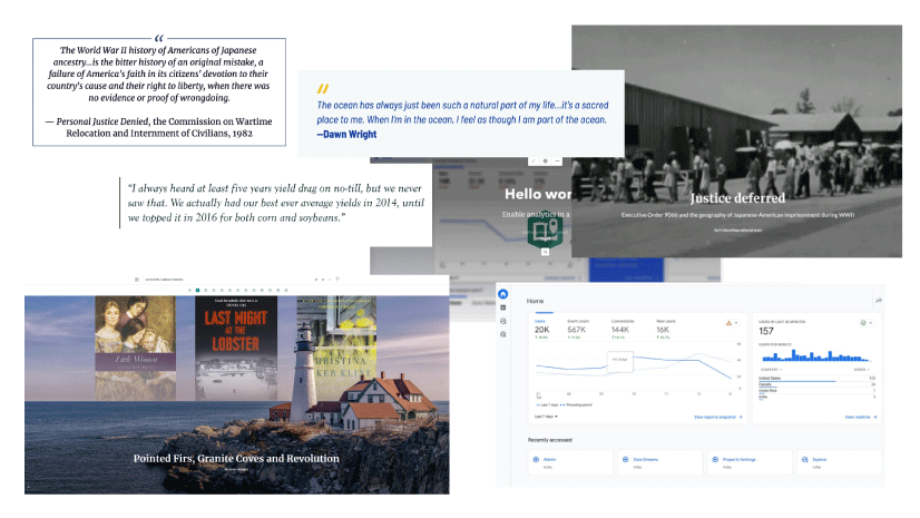
May 30, 2023 | Kory Kramer | Analytics Explore and Prepare Your Data with ArcGIS Pro Data Engineering
May 25, 2023 | Elizabeth Ashley Menezes | Imagery & Remote Sensing Simple steps to add SAR satellite data to your ArcGIS Pro map
May 24, 2023 | William Hackney | Constituent Engagement Enhance your collections with design options and more
May 24, 2023 | Network Diagrams Team | Data Management Porting ArcGIS Desktop Schematic Diagrams to ArcGIS Pro Network Diagrams
May 18, 2023 | Elaine Evans | Data Management Bridging Data: Create and use OLE DB connections in ArcGIS Pro
May 18, 2023 | Elaine Evans | Data Management It’s Not Personal: A brief history of the geodatabase and why personal geodatabases are not in ArcGIS Pro
May 16, 2023 | Multiple Authors | Analytics Spatiotemporal methods with ArcGIS AllSource, Part 2: Movement data and analysis
May 11, 2023 | Akshaya Suresh | Imagery & Remote Sensing What’s New in ArcGIS Image Dedicated (May 2023)
May 8, 2023 | Koya Brown | Constituent Engagement Operationalize Your Equity Index Layer: Next Steps for Utilities
May 2, 2023 | Koya Brown | Decision Support Social Equity Analysis for Utilities: A Step-by-Step Guide
April 27, 2023 | Multiple Authors | Analytics Spatiotemporal methods with ArcGIS AllSource – Part 1: Time-enabling layers
April 20, 2023 | Multiple Authors | Announcements What’s new with ArcGIS Utility Network at ArcGIS Enterprise 11.1
April 17, 2023 | Janine Barrett | Announcements What’s new in ArcGIS Workflow Manager 11.1 and ArcGIS Pro 3.1
April 17, 2023 | Randall Williams | Administration Portal for ArcGIS Security 2023 Update 1 Patch is now available
April 10, 2023 | Chad Lopez | Imagery & Remote Sensing Using Imagery and Demographics to Address the Challenges of Rapid Urbanization