As frost melts and nature blooms once more, a new season of intelligence analysis comes. The release of ArcGIS AllSource 1.4 includes the addition of new tools and enhancements to others, with a focus on military symbology. Military Overlay continues to see improvements with the addition of four new standardized styles: APP-6(E), APP-6(D), MIL-STD-2525C, and MIL-STD-2525D with change 1.
To learn more about enhanced and added tools, read What’s New for ArcGIS AllSource 1.4.
Military Overlay
Military Overlay creates and manages symbolized features that support military planning and operations. Using unit symbols and tactical graphic symbols, you can represent units, equipment, and activities of military organizations on a map.

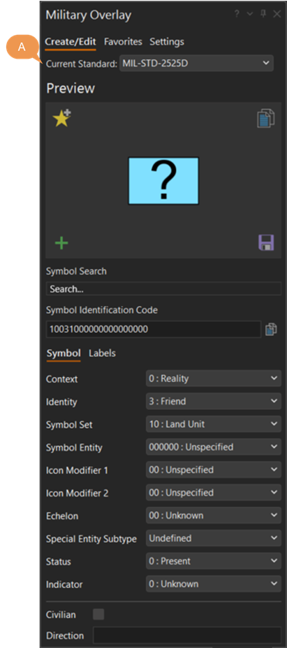
With this release, In addition to including four new standards, the symbol creation workflow has been tightened. Now, when creating symbology, you can change the Current Standard at the Create/Edit tab before editing the symbology. Taking a refreshed and renewed approach to military symbol editing.
To learn more, checkout the Military Overlay help documentation.

Article Discussion: