Charged by NOAA Fisheries, Applied Science Associates (ASA)–a global science and technology solutions company–developed an ArcGIS extension called the Environmental Data Collector (EDC).
EDC is a tool–now available for ArcGIS 10–-that allows users to connect to and download environmental data served by Thematic Real-time Environmental Distributed Data Services (THREDDS).
THREDDS data catalog includes, but is not limited to
- model data–such as the National Center for Environmental Prediction (NCEP) Global Forecast System Model,
- radar data–such as NEXRAD,
- station data–such as METAR, and
- satellite data–such as NESDIS.

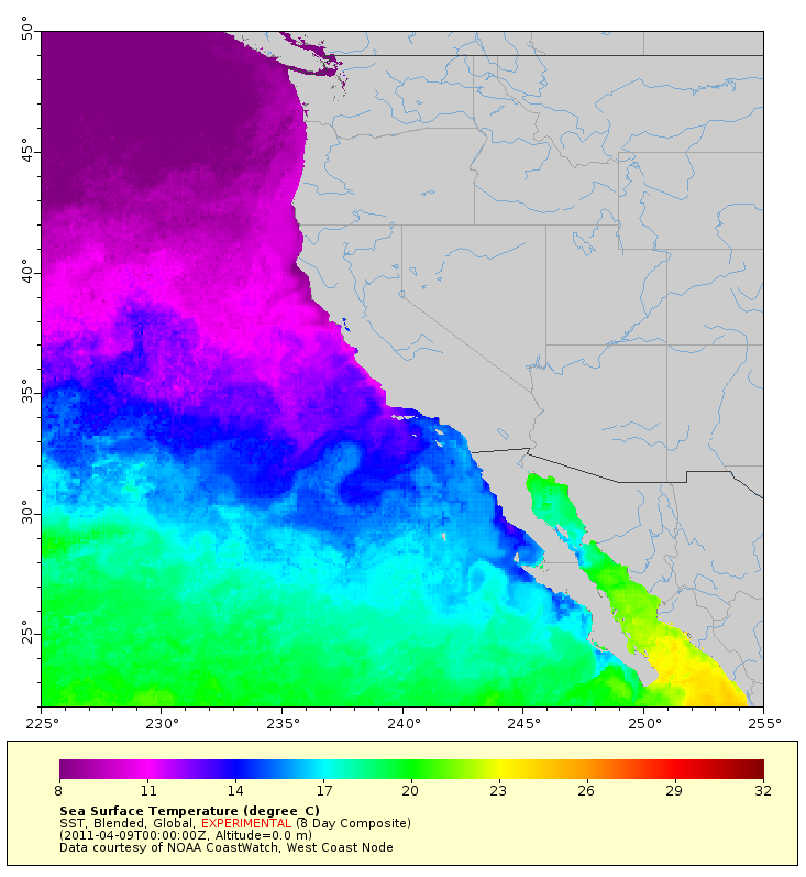
Experimental 8 day composite from ERDDAP Sea Surface Temperature
With EDC, an ArcGIS user can quickly and easily view THREDDS environmental data, select spatial and temporal limits, download raster and feature data and view the dataset as a temporal animation, using the Time Slider window in ArcGIS Desktop 10.
The EDC tool is available to download for free from ASA or NOAA.
Special thanks to Caitlin Scopel for providing the post. Questions for Caitlin: CScopel@esri.com.

Article Discussion: