I’ve been excited about Esri’s mobile applications for a while now. I can’t believe how much can be done with so much less effort than in the past. Today’s technology makes it easier than ever to share system information with field and office staff.
Many of you may remember when it took a tremendous amount of effort to get your system information out to the field. In most cases, this was done by providing map books in each truck. The map book would include the location and information about your assets. Updating this book each year, printing multiple copies, and providing it to the field staff took hours, days, and even weeks! Sadly, once it was published, oftentimes the first feedback you received was that something in it was not accurate. The struggle continued year after year to get the most accurate, up-to-date data possible out to the field and convince staff to use this data.
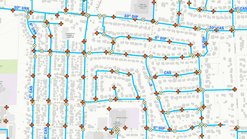
In many cases, the next step was to provide a digital picture of the system. Getting this to the field was accomplished by providing PDF files or software that allowed staff to view the location of assets but didn’t always include much data about the assets. Data collection was still paper based. At the company where I worked, a consultant was hired to customize forms on a handheld device. The amount of time, effort, and expense dedicated to this was enormous!
Today, Web GIS and mobile applications are eliminating these types of challenges and replacing them with digital workflows that increase efficiency and data quality. Instead of custom applications and expensive mobile units, we can configure commercial off-the-shelf applications and use smart devices. It takes some effort to implement these, but the benefits ripple throughout the organization and provide so much more than the ability to just view a map in the field.
How do we enable mobile apps? You need to have Web GIS. Below are some topics that you should start thinking about.
Did you know that If you are an ArcGIS Desktop user you are entitled to an ArcGIS Online account? For each license of ArcGIS Desktop that is current on maintenance, you get one named user.
No problem if you don’t have ArcGIS Desktop—you can purchase an ArcGIS Online subscription and get started for less than you think.
You will need to configure your ArcGIS Online organizational account to meet your business needs. ArcGIS for Water Utilities includes a Model Organization for Water Utilities solution that can help.
Preconfigured solutions can help you get started with inspections, maintenance, data validation, and much more!
If you have questions, Esri’s water team is always here to help.
Christa Campbell
Industry Specialist, Esri Global Water Practice
Learn more about how Web GIS supports a water utility by downloading this whitepaper.


Commenting is not enabled for this article.