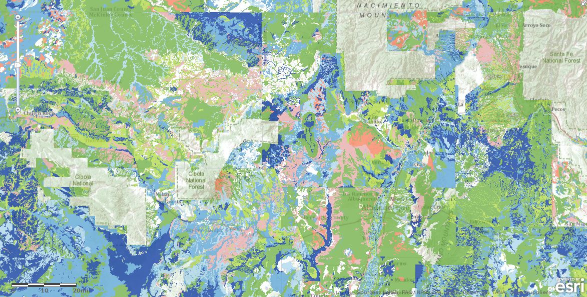
Esri has web-enabled four soil maps of the United States based upon the NRCS SSURGO dataset. They will be served directly to the ArcGIS system, and their content nodes may be retrieved from arcgis.com or within arcmap itself in version 10. The first maps to be enabled will be from the MUAGGATT attribute table provided in the NRCS SSURGO dataset encapsulating their recommended map unit aggregations. All SSURGO based web maps are enormous in size, they cover the entire United States at once at the planning scale of 1:24:000. At the moment they are being served by the amazon cloud where they may be used in your maps and applications immediately.
The four soil maps are:
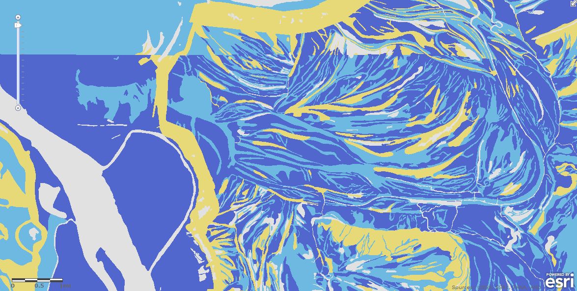
HYDROLOGIC GROUP – DOMINANT CONDITIONS
In this web map, infiltration rates are grouped into some very broad class estimates. You may use dominant hydrologic group as a basic input to estimate runoff potential in a watershed. A full explanation of the hydrologic group codes may be found on its arcgis.com service page.
HYDRIC CLASSIFICATION – PRESENCE
This web map indicates some very basic facts about the presence of hydric soils in a soil map unit, whether the soil map unit is made up of all hydric or part hydric soils, or if the map unit is not made of hydric soils at all.
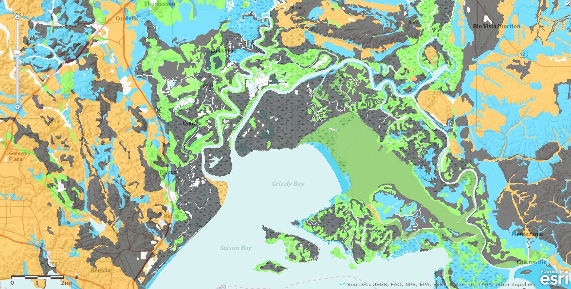
DRAINAGE CLASS – DOMINANT CONDITION
These web maps show drainage class for each soil map unit. There are two drainage class maps based upon two methods of computing the class. The first method shows drainage class by the wettest soil component in the soil map unit, and the second shows drainage class by the most dominant component in each map unit. You may want to use one or the other in modeling depending on what you are trying to simulate in your model.
These soil maps are only the beginning for Esri. Stay tuned to the mapping center and the hydro blog for more hydro related soil maps which will probe deeper into the SSURGO datasets with increasing sophistication.
Special thanks to Michael Dangermond for providing the post. Questions for Michael: MDangermond@esri.com

Article Discussion: