What is ArcGIS QuickCapture?
ArcGIS QuickCapture is the fastest way to collect field observations. If you’ve ever taken a photo on your phone, you can collect data with QuickCapture. Its big-button interface allows you to quickly record field observations – even from a moving vehicle.
It’s often used to scout locations, conduct aerial surveys, or assess damage. Plus, you can send data back to the office for analysis in real time and eliminate time spent manually processing handwritten notes. Since ArcGIS QuickCapture is integrated with ArcGIS, new data from the field can be used instantly for better decision-making.
You can watch this video for a quick introduction to QuickCapture.

ArcGIS QuickCapture at the Esri UC 2022
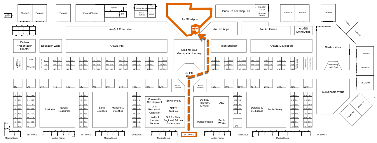
There are many ways to learn more about ArcGIS QuickCapture at the Esri User Conference this year. Along with a variety of prepared techncial sessions outlined below, you can visit our team of experts in the Showcase. We welcome your questions and are interested in seeing how we can help with your data collection projects. We’ll be in the booth from Tuesday, July 12 to Thursday, July 14.
By the way, there is still time to sign up for the conference. We look forward to having you join us in person if you can make it to San Diego, or virtually if you prefer to join us remotely. Be sure to register so you don’t miss anything!


The Plenary
8 a.m. to 3:30 p.m.
As you plan your itinerary, your first stop should be the Plenary. It is centered around this year’s conference theme, GIS—Mapping Common Ground, which focuses on how GIS and maps can help people communicate and collaborate to find common ground to solve the challenges of our world today.
Throughout the Plenary, Esri’s co-founder and president, Jack Dangermond, will explore how we can apply GIS and a geographic approach to better understand our world and design solutions for our collective future. Throughout the day, Jack will share examples of incredible work from the GIS user community, his vision for the future and advancements in ArcGIS technology with various special guests.

Spotlight Session
Oriented Imagery in QuickCapture
3:15 p.m. to 3:25 p.m., ArcGIS Apps Booth
This quick demo will help you understand how oriented imagery can help you multiply the value of photos collected in the field.
Instructor: John Hasthorpe


Technical Session
ArcGIS QuickCapture: An Introduction and What’s New
1 p.m. to 2 p.m.
Join this session to learn how to configure and get the best out of ArcGIS QuickCapture, Esri’s at-speed field data collection mobile app. You’ll get to see the lastest features, too.

Demo Theater Session
Getting Started with the Damage Assessment Solution
1:15 p.m. to 2 p.m.
This session will help you get started with the Damage Assessment solution and learn how you can use the solution to collect damage reports, assign initial damage assessments, monitor the impact of a disaster on the community, and more.

Demo Theater Session
Getting Started with the Damage Assessment Solution
10 a.m. to 10:45 a.m.
This session will help you get started with the Damage Assessment solution and learn how you can use the solution to collect damage reports, assign initial damage assessments, monitor the impact of a disaster on the community, and more.
Technical Sessions
Transforming the Quality of Life For Neighborhoods with GIS
1 p.m. to 2 p.m.
Explore how to utilize GIS solutions to manage, analyze, and share data with community stakeholders.

ArcGIS Field Apps: The Road Ahead
2:30 p.m. to 3:30 p.m.
Join this session to hear the field apps team discuss what’s new and what’s coming to Esri field apps. This session will cover the entire field apps suite which includes: Field Maps, Navigator, QuickCapture, Survey123, and Workforce.
ArcGIS Field Apps: Q&A with the Product Teams
4 p.m. to 5 p.m.
Join the teams that support Esri Field Apps for a live Q&A panel discussion after the Field Apps Road Ahead session!
Spotlight Session
Drones and QuickCapture
3:20 p.m. to 3:55 p.m., ArcGIS Apps Booth
Learn how UAV, Site Scan and ArcGIS QuickCapture can work together to augment your field work.
Instructor: John Hasthorpe and Javier Sosa

Article Discussion: