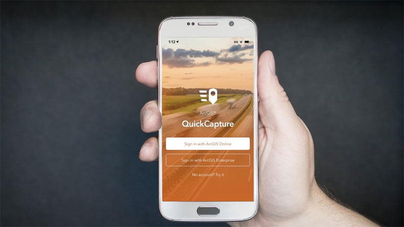
ArcGIS QuickCapture version 1.11 is now available in the Apple, Google Play and Microsoft app stores. At first, you will not be able to tell the difference and that is by design. Read on to learn more because this new release has some pretty juicy enhancements!
About ArcGIS QuickCapture
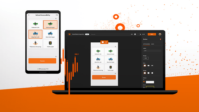
ArcGIS QuickCapture is Esri’s rapid data collection mobile app. Use QuickCapture to give field users the simplest and most effective experience for documenting field observations. QuickCapture is as simple to use as the camera app in your phone, but much more powerful. It helps you collect the location of events in the field and automatically enrich your observations with multiple attributes. A single tap in your phone records the what, the where and the when. Once collected, you can share that information through ArcGIS.
Not familiar with the BIG button user experience of QuickCapture? Give it a try through the various sample configurations we share through this gallery. Photo inspections, quick asset damage reports, bioblitz and much more! Ready to get started? Follow this tutorial to create your first project from scratch.
What’s new in 2 minutes
Oriented Imagery
I bet you use ArcGIS attachments to associate photos with GIS features. After all, photos are a big part of field data collection. While oriented imagery may be a new concept to you, I am sure you will become a fan once you know what it can do for you.
Example 1: Do I have photos of a particular location?
Let’s pretend you want to click on the map and automatically discover any photo attachments in your layer that depict that particular location. Oriented imagery, can do that for you. See how in the animation below.

Example 2: What is the geographic footprint of my photo ?
Your photos no longer need to sit idle within a popup. With oriented imagery, the map and your photos work together. See below, for example, how you can dynamically show in a map the field of view of a photo.

Example 3: Highlight in my photo a geographic location
Oriented imagery keeps your photos and maps in sync: Click on a location in the map, and that location is marked in the photo.

While the broader world of oriented imagery may seem intimidating, we put a lot of care to make sure you can get started with it with QuickCapture easily. We trust you will quickly find many good uses for it.
Click on this link to learn how you can get started with oriented imagery in ArcGIS QuickCapture.
Online web map caching
It is not a secret that you can configure QuickCapture projects with your own web and offline maps. To learn more about the basics, check this blog post. What is new, is that starting with this release, QuickCapture will cache your vector basemaps locally as you use them.
Why is web map caching important? Because it allows field users to see your basemaps while offline, even when no offline map has been configured. You can rely on web map caching for workflows where users run into sporadic network interruptions.
To try out the basics of web map caching do this:
- Open your QuickCapture project.
- Switch to the map view and navigate the map a bit.
- Turn airplane mode on and check the map again.
You will now easily tell which areas have been cached for offline use. QuickCapture will keep your local map cache until the project is closed.
Do not look at web map caching as a replacement to configuring your offline maps. For workflows where users work disconnected for long periods of time, a good map package is the way to go. However, for the many situations where people work mostly connected, web map caching will make a great difference!
Predefine the Autosend interval
The autosend interval dictates how often the QuickCapture mobile app should send collected data to ArcGIS. Starting with this release, the administrator of the ArcGIS organization can set a default autosend interval for all QuickCapture users. That’s one less thing to worry about for field users.

This is a handy new option. Make the right call for your field users, and they will appreciate it. Now, if you want to let them choose, you can too!
Next steps
The QuickCapture Early Adopter program is open to all you. In it, you will find access to the latest beta builds and documentation about upcoming features.
What is coming next? Tracking! We are working hard to have Tracker capabilities into QuickCapture before the end of the year.
Other resources
Check the What’s new in ArcGIS QuickCapture help topic for additional features in this release. The ArcGIS QuickCapture group in Esri Community features a user forum, technical articles and more.


Article Discussion: