I had the pleasure recently of going to the American Association of Geographers meeting in New Orleans (and the honor of receiving their media achievement award). The weather was beautiful throughout, which lured me away from sessions in windowless rooms for three separate excursions to explore the city. My ulterior motive: assemble pictures of the city’s architectural treasures into a Story Map Tour using the new side panel layout.
I took a long walk around the French Quarter, an even longer one around the gracious and leafy Garden District, and a bike ride later in the week to a number of destinations farther afield. For that I rented one of New Orleans’ “Blue Bikes”—which worked out just fine except the bikes are very heavy and my route totaled 27 miles!
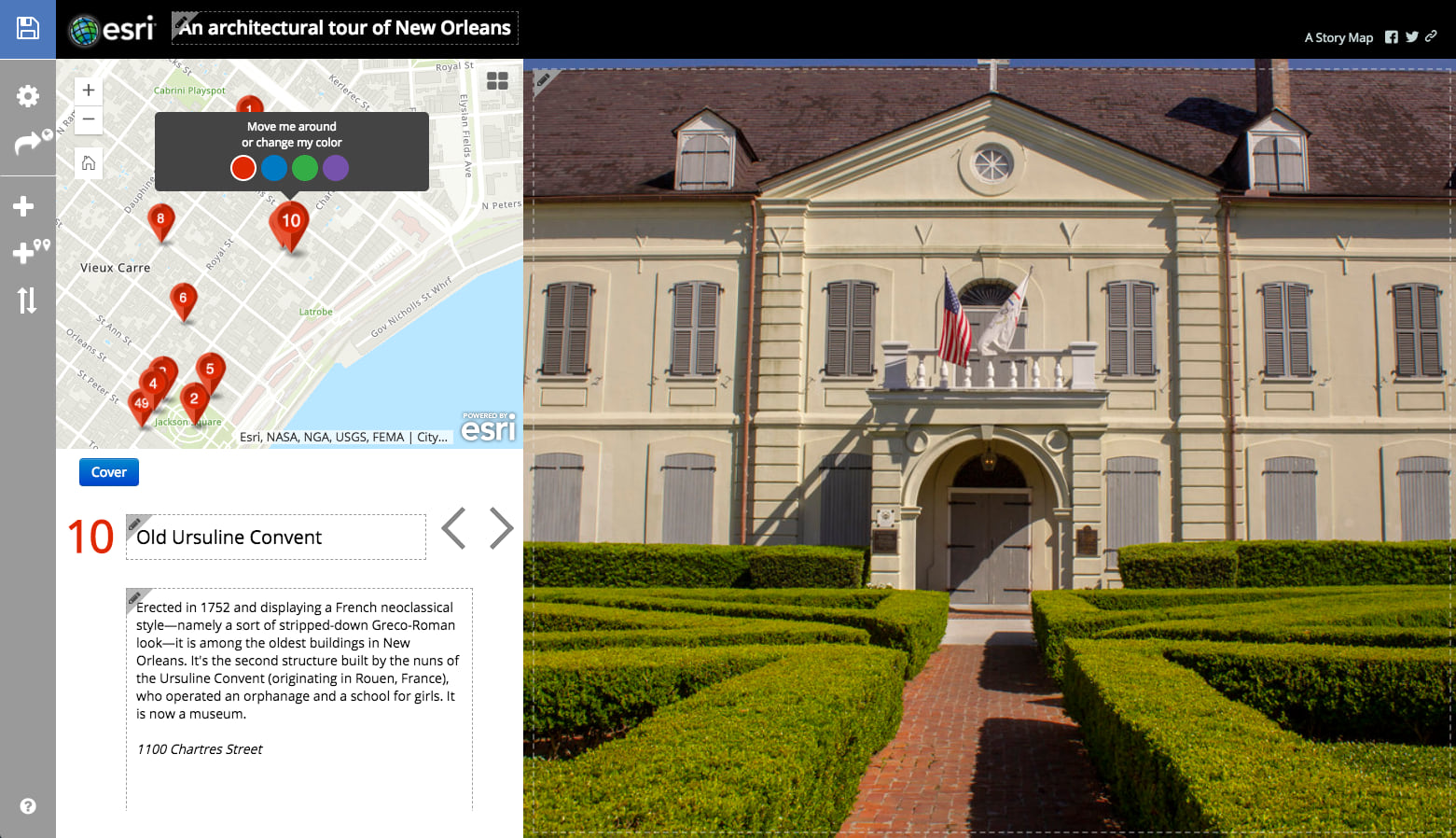
After I returned to my home in Washington, DC, I uploaded a selection of my photos to Flickr, and then began to assemble them into a story. My photos weren’t geotagged, so I used street addresses to locate sites, and made manual adjustments by moving icons around on the map. Building the story was relatively fast and easy; as usual, the time-consuming part involved researching the locations and writing the text.
Next came a key step: I shared my draft story with others on the story maps team. First reaction: my story was too long. So I dropped a number of tour points. Then I asked colleague Hannah Wilber to review the story in greater detail. She tactfully told me the story lacked focus and structure, and made dozens of edits to my text. I consider myself a pretty good writer, but it’s hugely helpful—and really important—to have a fresh pair of eyes, and a skilled editorial mind, review your work and provide objective feedback.
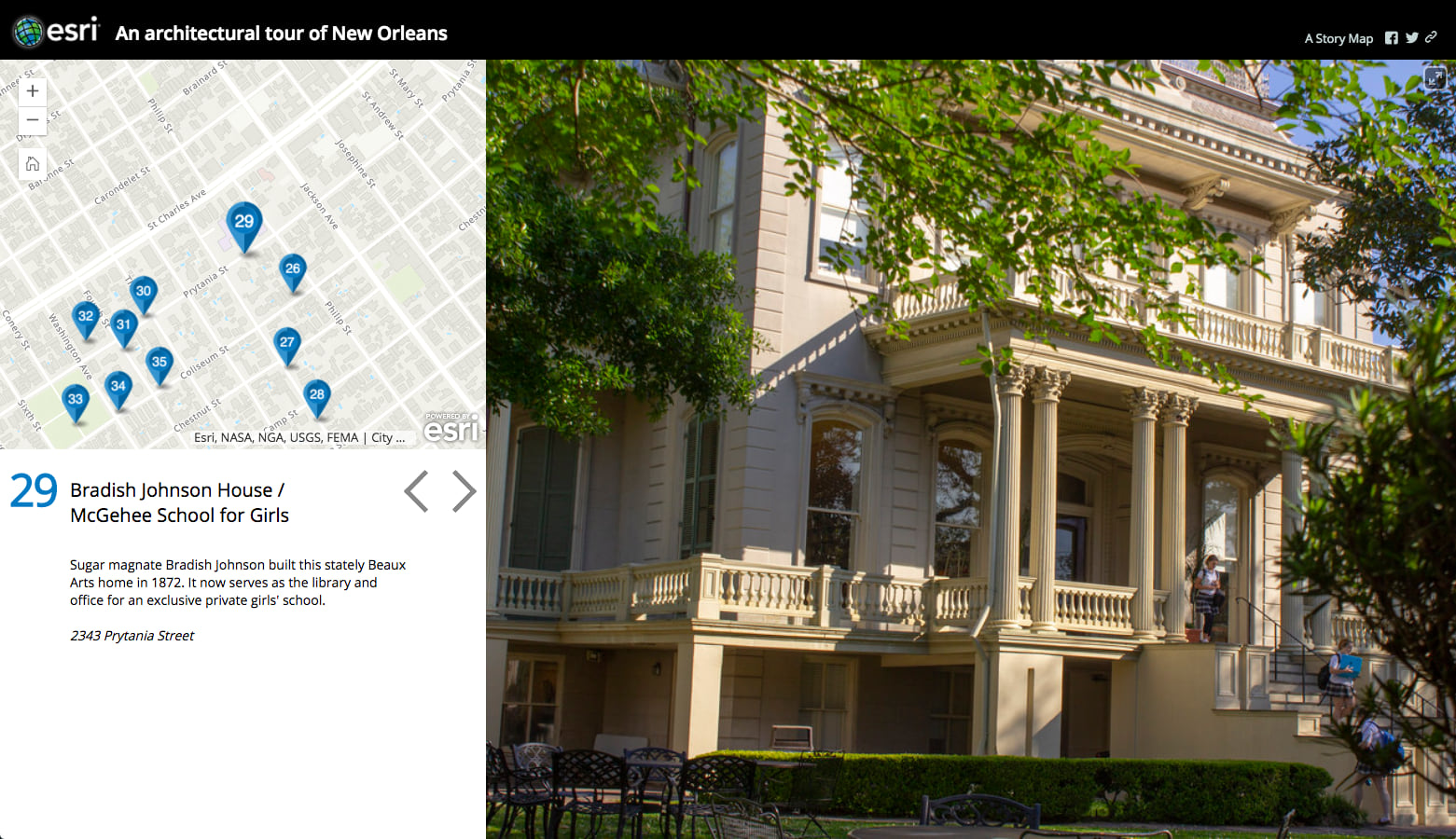
I also decided to use the icon color options to differentiate among the outings, and I did additional work to incorporate introductory material into the narrative and provide an ending. The result is hardly a masterpiece, but it was fun to do, and I hope it gives readers a sense of the rich history and distinctive architecture of a city that is unique among American urban areas.

Commenting is not enabled for this article.