
Esri Partner Conference
March 8-9, 2026 | Palm Springs, California
Learn about partner-exclusive resources and opportunities designed to keep you at the forefront of the GIS industry.
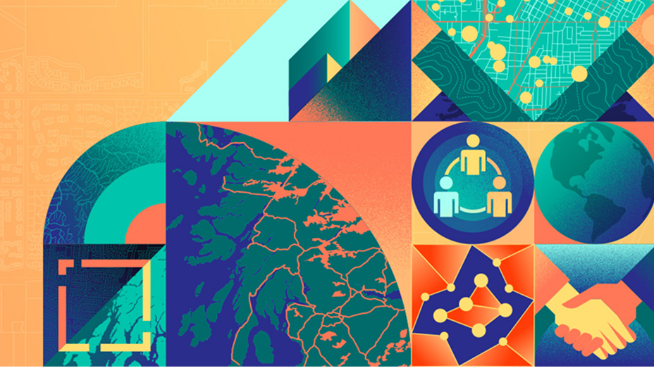
Creating clarity in every industry, Esri is leading the location intelligence revolution in the Middle East, Africa (MEA), and Central Asia.
Through mapping and location intelligence, Esri helps organizations unlock the power of data to create a stronger and more digitally connected region. With an in-depth understanding of the area, we are always pushing the boundaries of the science of geography in the Middle East and Africa.
Esri has been in the MEA and Central Asia for over 40 years, with more than 50 locally owned offices in over 70 countries. Esri has decades of local experience in the region, further magnified by a support center, development center, and three professional services offices. Esri helps cities and governments, private businesses, utilities and transportation companies, educators, and almost all other industries innovate through GIS.

Explore AI-driven geospatial workflows.
Use ArcGIS to get imagery-driven insights that fuel deep understanding and decisive action.
Explore how GIS solutions help national governments make data-driven decisions to improve quality of life.
GIS creates digital twins of the natural and built environments.
Esri Partner Conference
March 8-9, 2026 | Palm Springs, California
Esri Developer & Technology Summit
March 10-13, 2026 | Palm Springs, California
World Governments Summit 2026
February 3-5, 2026 | Dubai, UAE

Digital Twin Dubai
February 12-13, 2026 | Duabi, UAE
STC 2026
March 30-April 1, 2026 | Tashkent, Uzbekistan
Kuwait Oil & Gas Digital Transformation Conference
September 21–22, 2026

AlQabas TV report

How Uzbekistan uses GIS to transform water management
Esri’s role in Africa’s digital transformation

Map Africa is shaping the continent’s future
Better understand the earth’s complex systems with location intelligence.
Esri supports nonprofit organizations in and outside MEA and Central Asia with the Nonprofit Organization Program.
Thousands of schools and universities in the MEA and Central Asia are using ArcGIS software, donated by Esri at no cost.
Esri has a presence and expertise in almost every country in MEA and Central Asia.