Plenary Session banner with a layered drawing of a city, revealing its infrastructue

Plenary Session

October 27, 2026

Intelligent infrastructure founded on geospatial technology

Esri president Jack Dangermond sets the stage with his vision for what's next in infrastructure management. Experience live demonstrations to learn how your work can benefit from GIS, AI, digital twins, and other innovations.

Previous
Next
Portrait of Jack Dangermond smiling wearing a navy suit overlaid with a colorful multilayered 3D infrastructure model

Collective understanding for the work ahead

Join Esri president Jack Dangermond to explore collective geospatial intelligence—an enterprise approach that fuses multiple intelligence streams, human expertise, and AI within a shared geographic context. Discover how organizations can learn faster, reason more effectively, and act with greater clarity in an increasingly complex world.

Live technology demonstrations bring ArcGIS advancements to life, revealing what's possible.

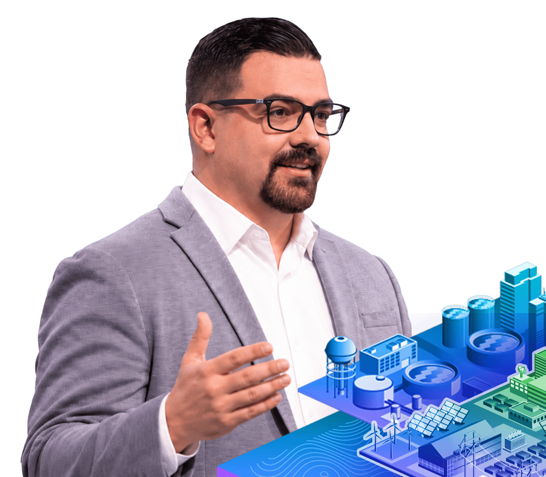
Bearded speaker in a gray jacket and white shirt gestures with one hand

Stay ahead of industry shifts

Leading organizations show how they’re using ArcGIS to:

  • Connect planning, design, and operations across the full infrastructure lifecycle.
  • Model complex utility and network systems with precision and at scale.
  • Create living digital twins that bring assets, operations, and conditions together in one place.

Submit your images for the Plenary Session

Show us how you’re leveraging GIS technology

Find out how to submit

Register for this event

Get registration details

Sign in to the event

Sign in