NEW
ArcGIS for Autodesk Forma
Integrating location for inspired designs
Elevate your Autodesk Forma designs with Esri’s ArcGIS data. Integrate it into your pre-design, design, and urban planning work directly within Autodesk Forma to:
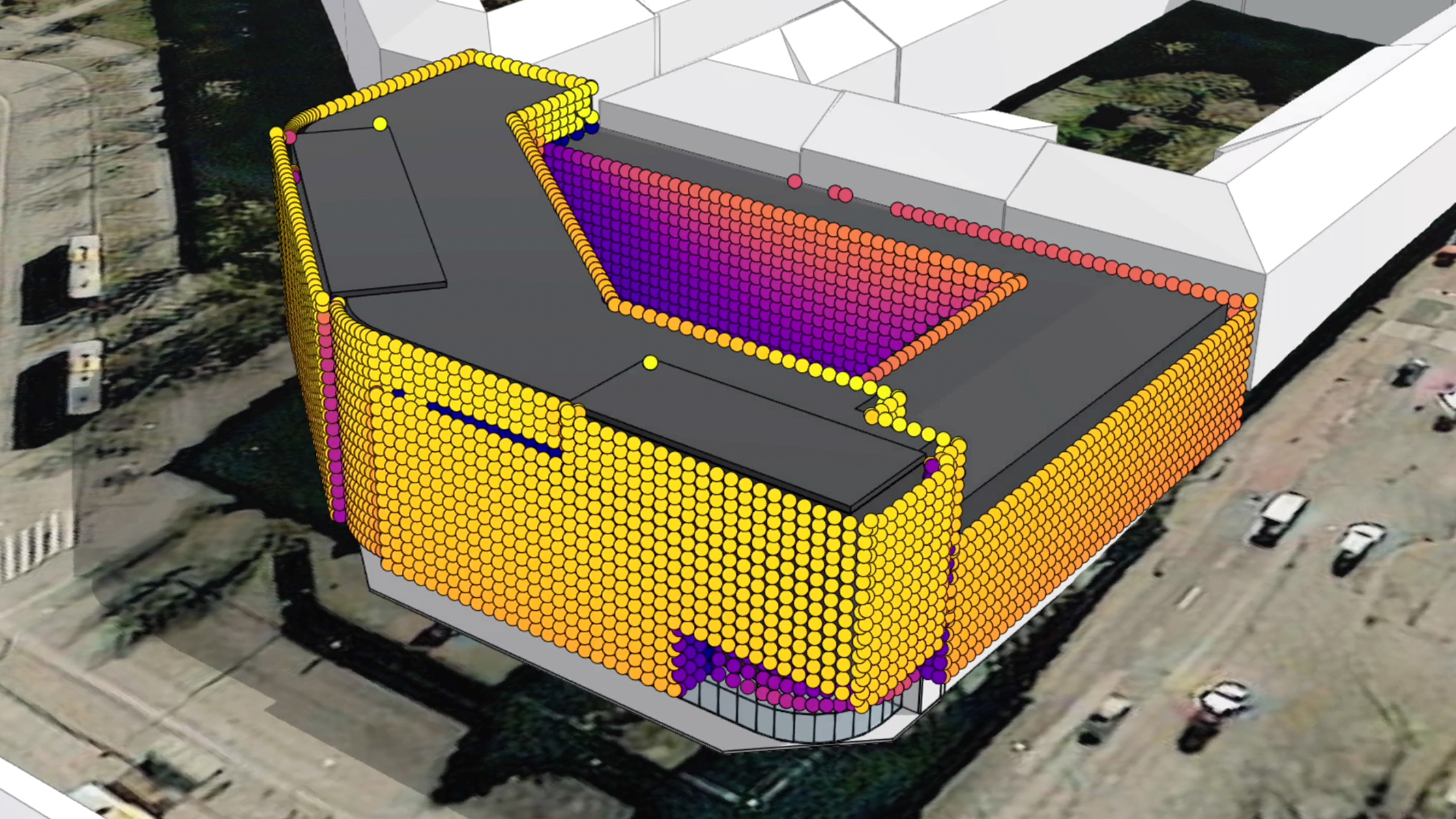
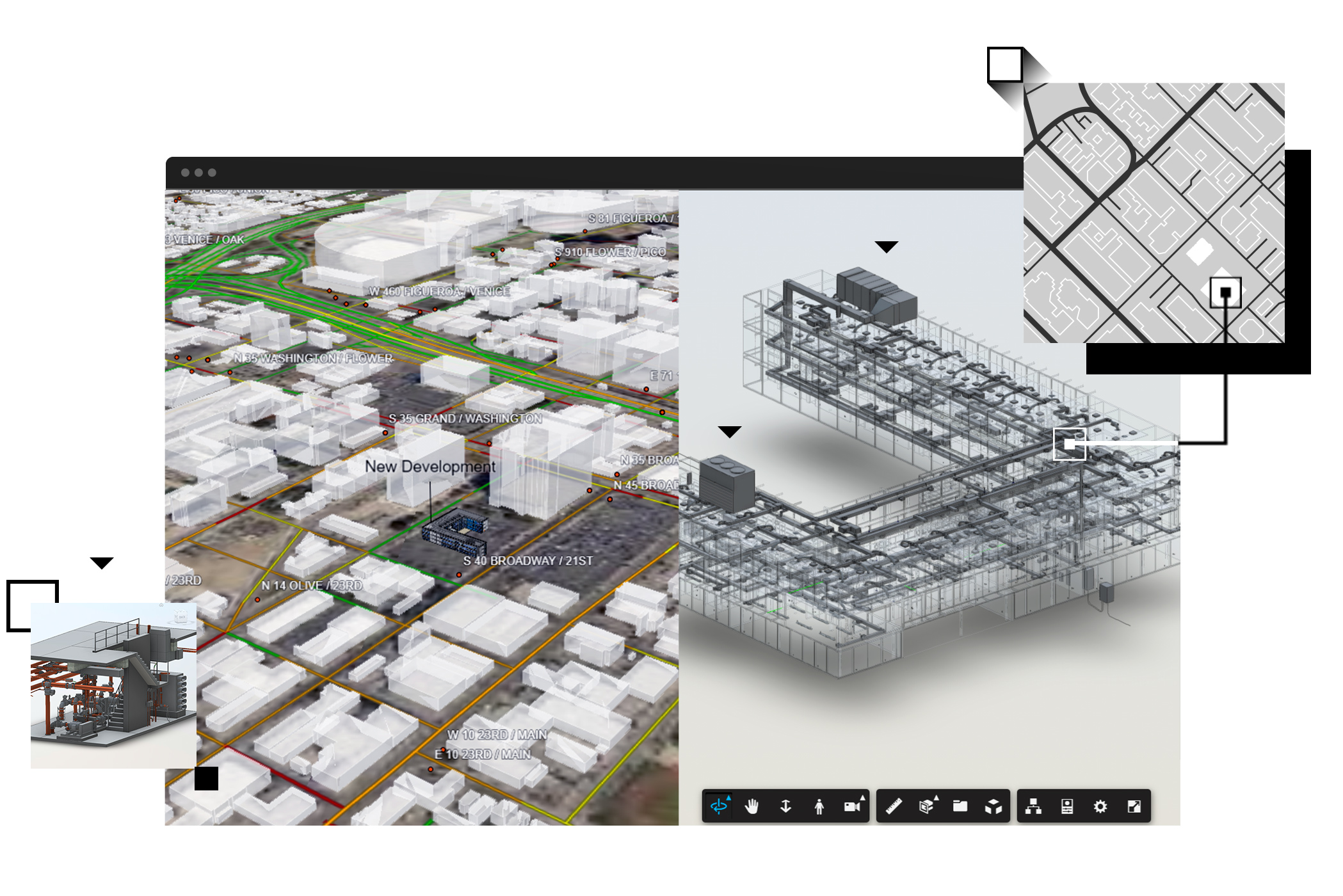
- Bring spatial context into your designs from the very beginning of your project
- Enrich designs with contextual geographic data for buildings, zoning, roads, property boundaries, imagery, and more
- Extend ArcGIS enhanced designs across Autodesk’s software library, including Autodesk Revit, to eliminate fragmented workflows