Get started with ArcGIS GeoBIM
Learn the basics of preparing your data to create and share your first ArcGIS GeoBIM project and app.
Experience what’s possible with ArcGIS GeoBIM through this curated series of tutorials.
Get started with ArcGIS GeoBIM
Manage your ArcGIS GeoBIM project

Make the most out of ArcGIS GeoBIM
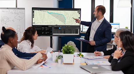
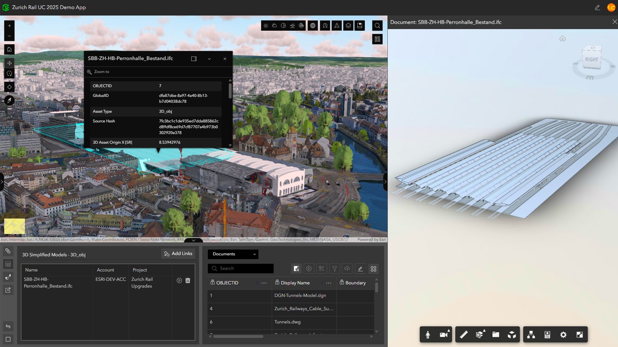
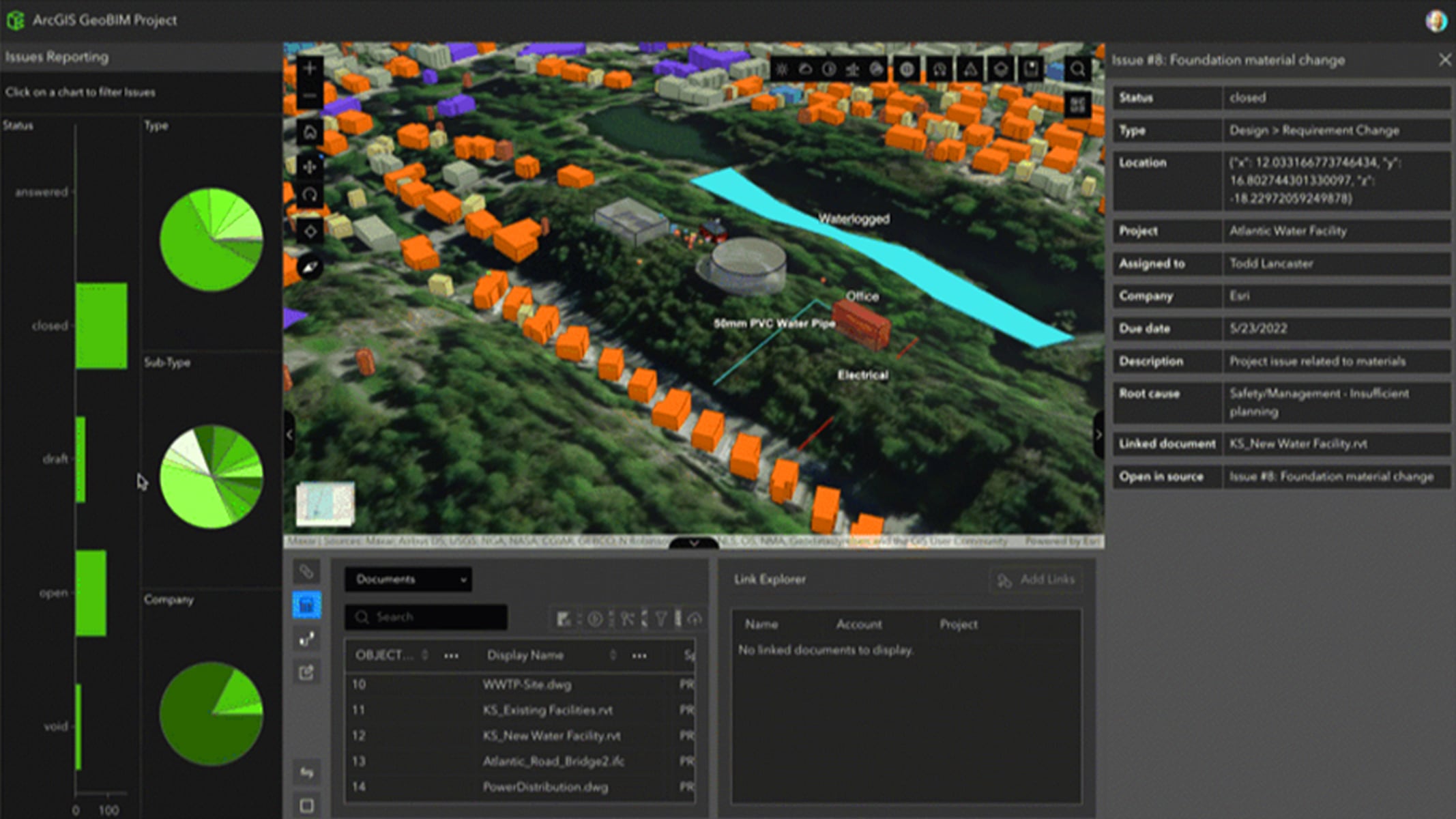
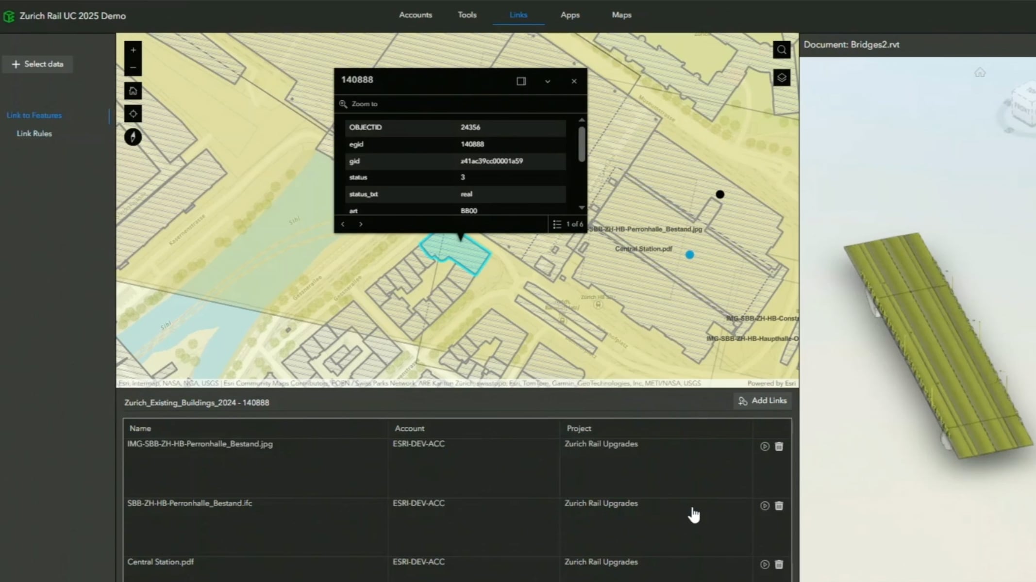
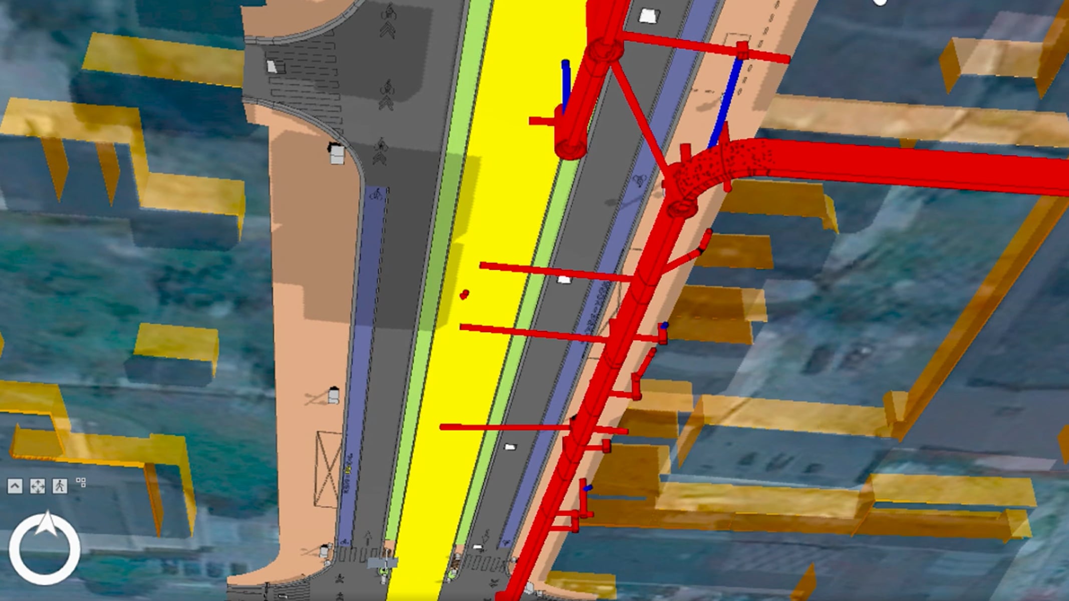
Bring schedule, GIS, and BIM projects together
GIS and BIM: The benefits of integration
ArcGIS GeoBIM available for ArcGIS Enterprise
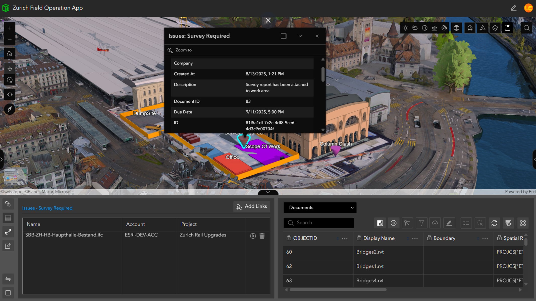
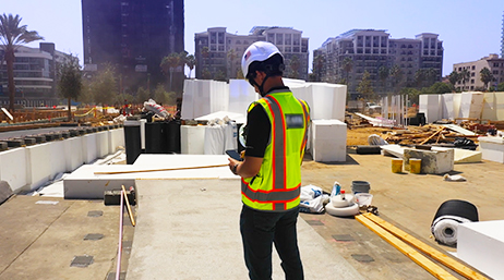
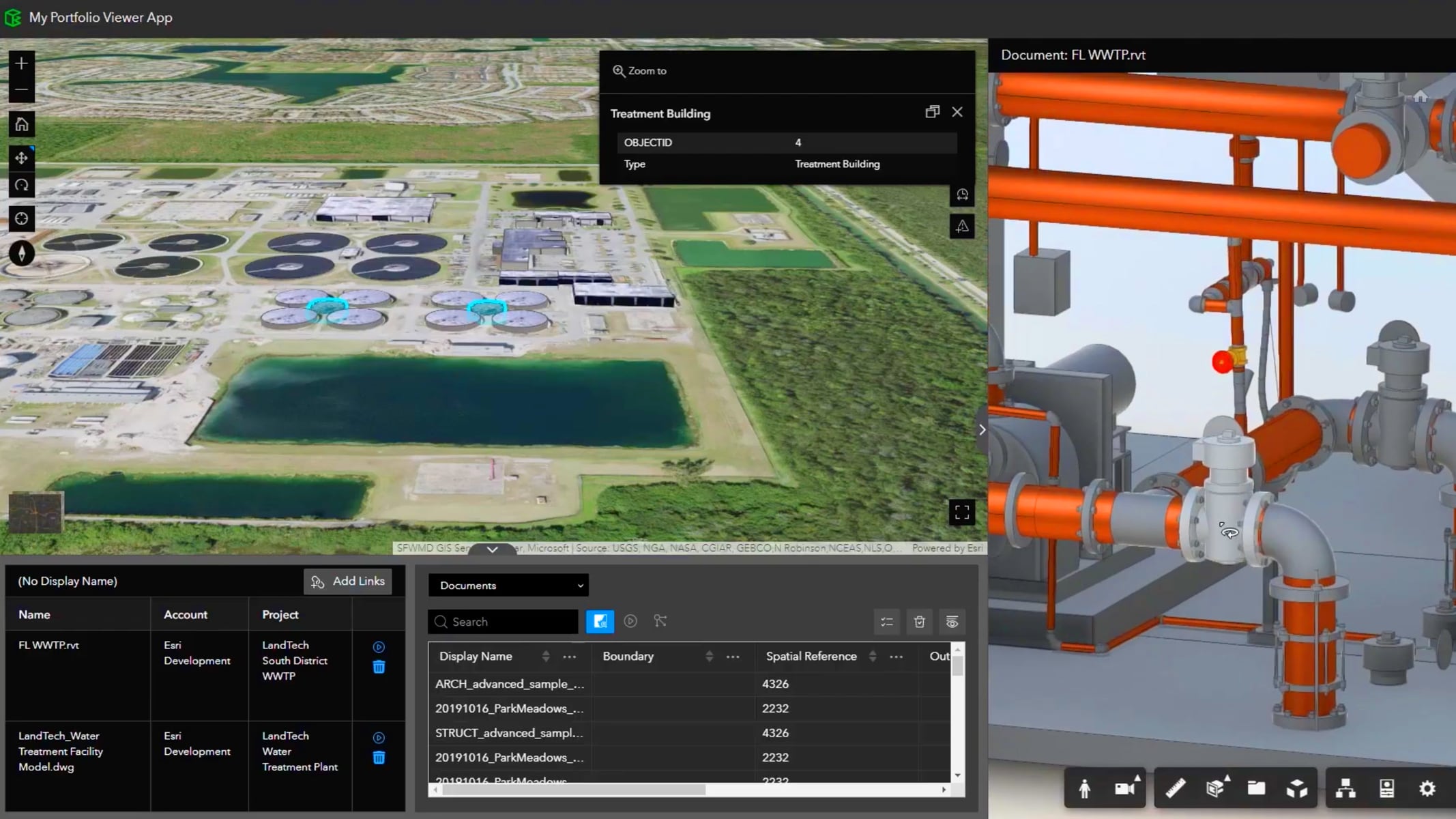
Extend ArcGIS GeoBIM to the field
Connect engineering and environmental teams
Three ways ArcGIS GeoBIM saves time and reduces costs
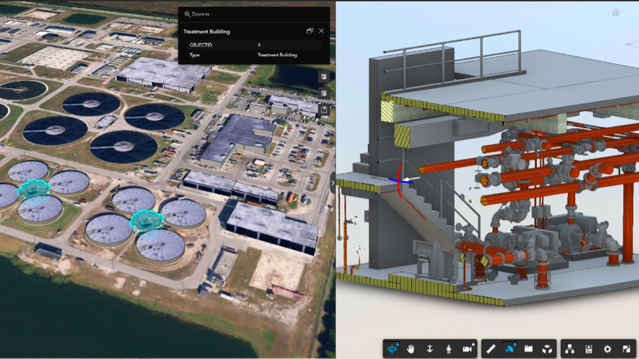
Modernizing infrastructure and facility operations
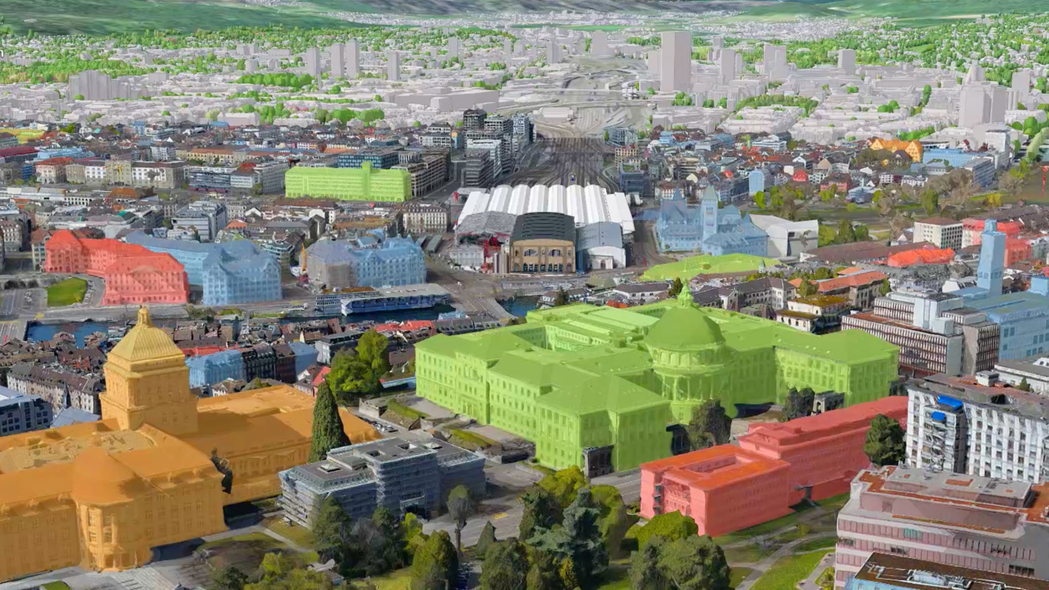
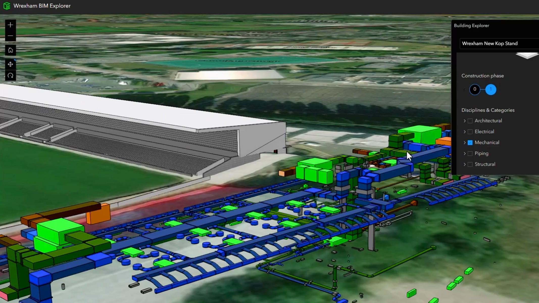
Using simplified 3D models and building layers
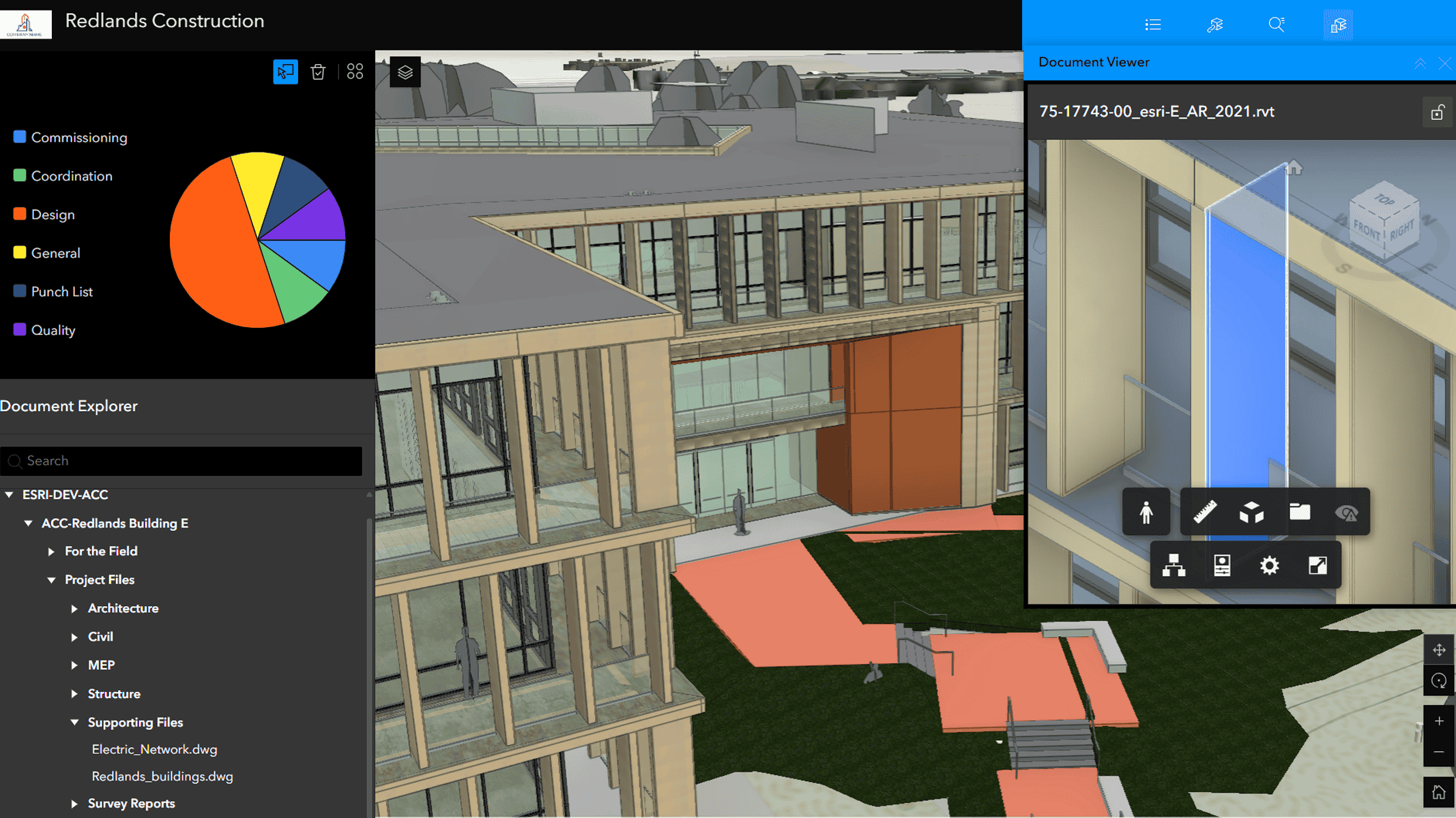
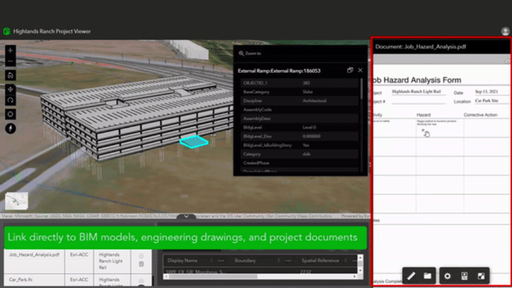
Widgets in ArcGIS Experience Builder connect to Autodesk
Find answers and information so you can complete your projects.
Introducing ArcGIS GeoBIM
ArcGIS GeoBIM: Optimize BIM Workflows with 3D GIS
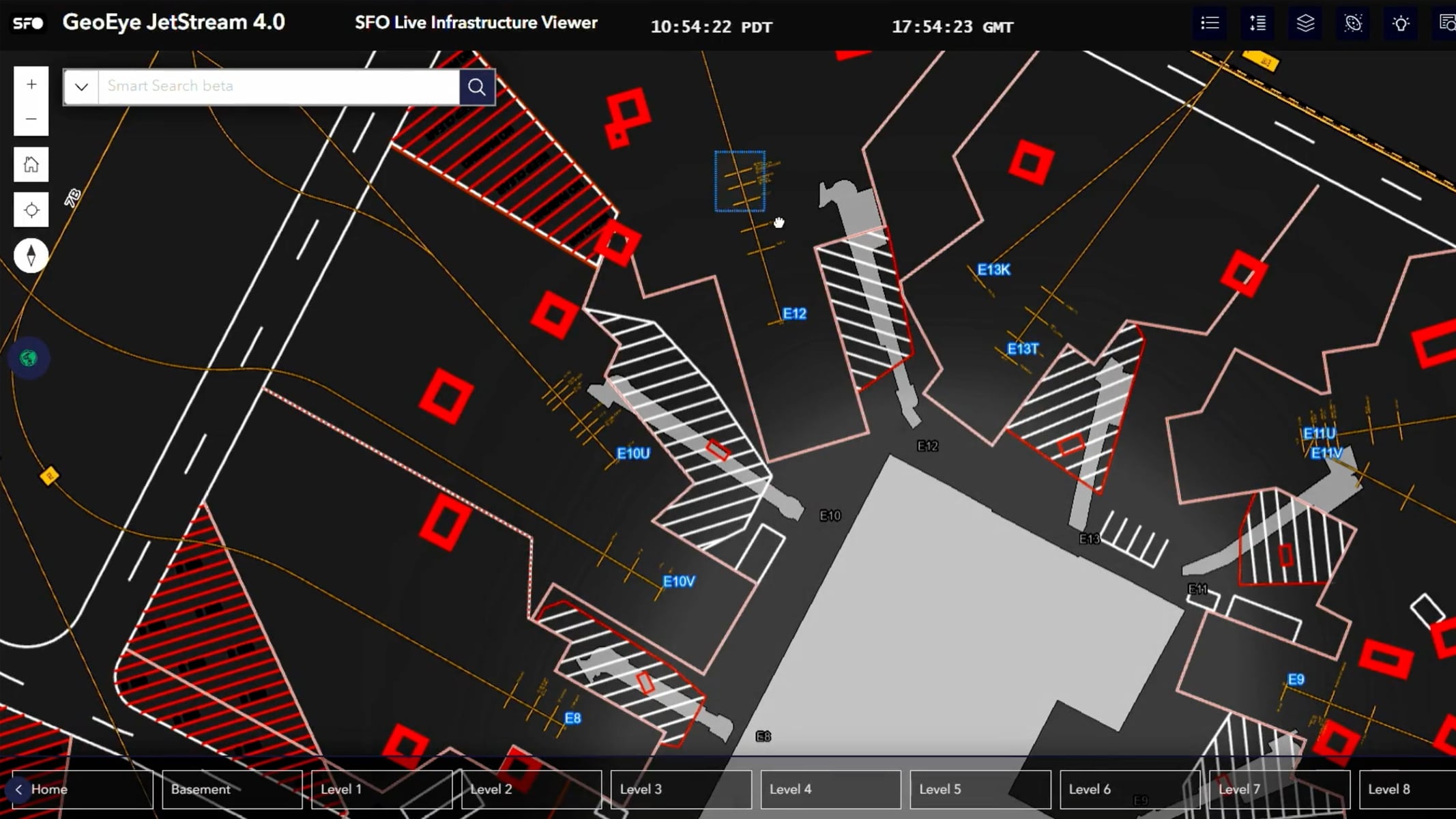
San Francisco International Airport (SFO)
Autodesk and Esri Customer Testimonials
HDR: Digital Project Delivery with BIM and GIS
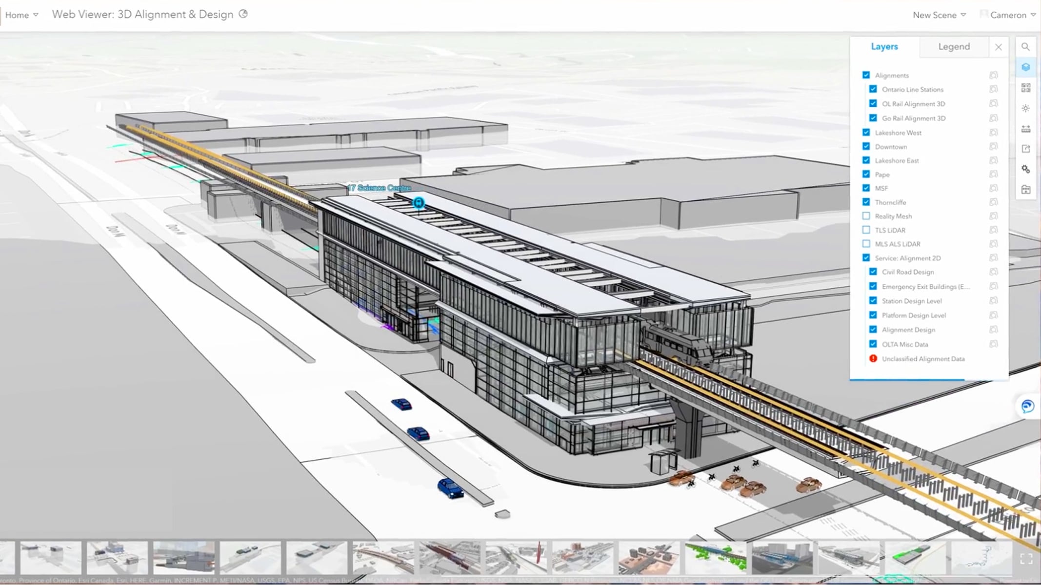
Egis: Grand Paris Express
Start a conversation online.
Get an email response.
Speak with a representative.