Powerful mapping tools for developers
Solve complex problems
ArcGIS helps developers build powerful and interactive solutions by providing tools for mapping, spatial analysis, data science, and more.
Build mapping and spatial analysis applications with powerful services and tools
Leverage Esri’s powerful APIs, SDKs, location-based services, and data management tools to develop powerful location intelligence solutions.
Solve complex problems
ArcGIS helps developers build powerful and interactive solutions by providing tools for mapping, spatial analysis, data science, and more.
Work with your preferred tools
ArcGIS offers developers low/no-code builders, popular APIs, SDKs, and open source options to reduce development time and speed up market entry.
Location services are available in ArcGIS that support geocoding, routing, points of interest, data enrichment, and spatial analysis that developers can integrate into their solutions.
Explore Esri's purpose-built development tools that support your development environment and help accelerate your time to deployment.

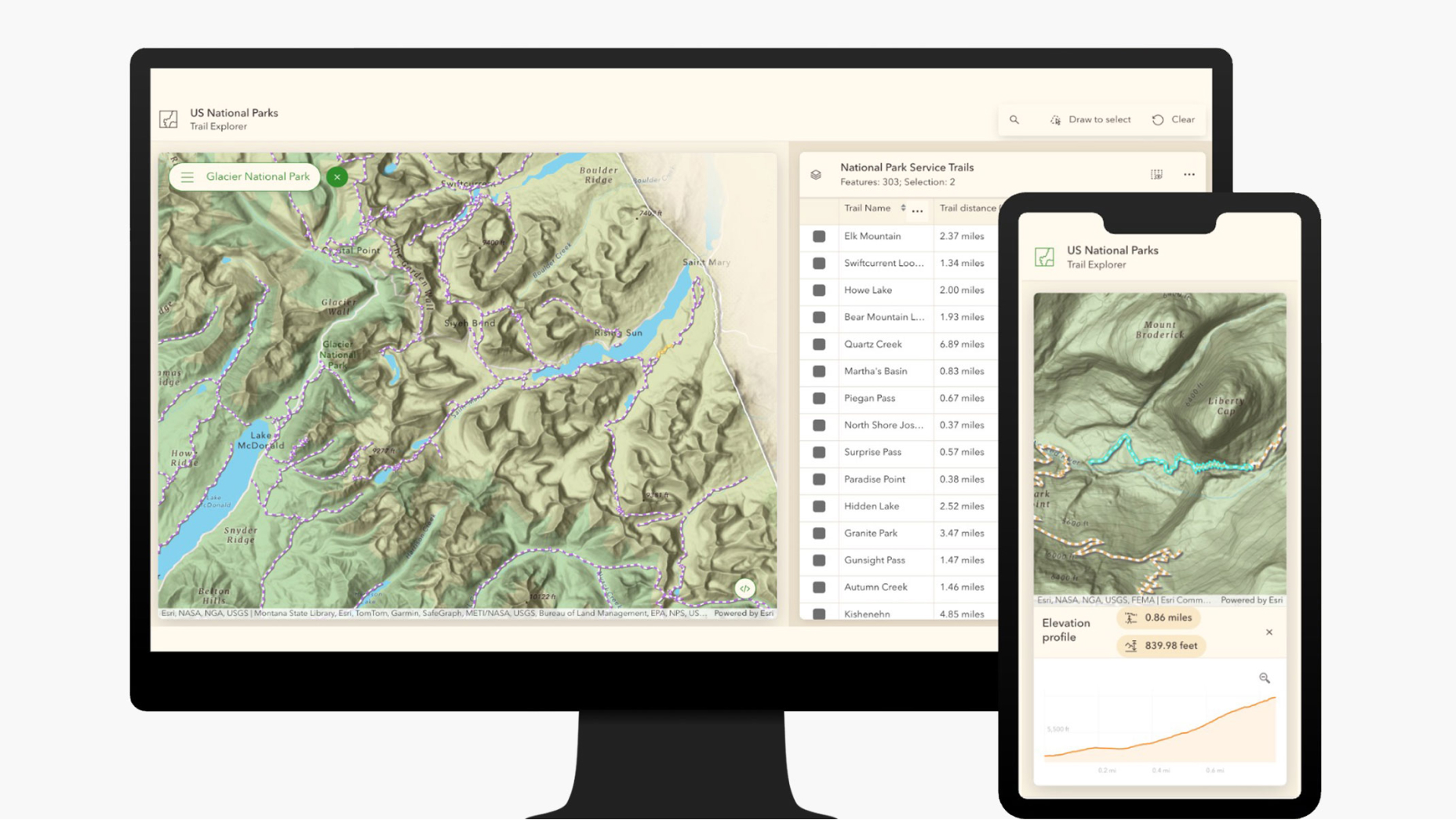
Access tools in ArcGIS for building custom apps for web, mobile devices, and desktop that feature advanced visualization, interactive analysis, and offline capabilities. ArcGIS supports both full-code and no-code options to enable users of all skill levels to create dynamic applications and immersive 2D and 3D experiences.

Developers can customize ArcGIS by adding custom logic in ArcGIS Pro and ArcGIS Enterprise. This flexibility enhances workflows, supports spatial analyses, and enables the integration of real-time data for a tailored solution and a focused experience for end users.

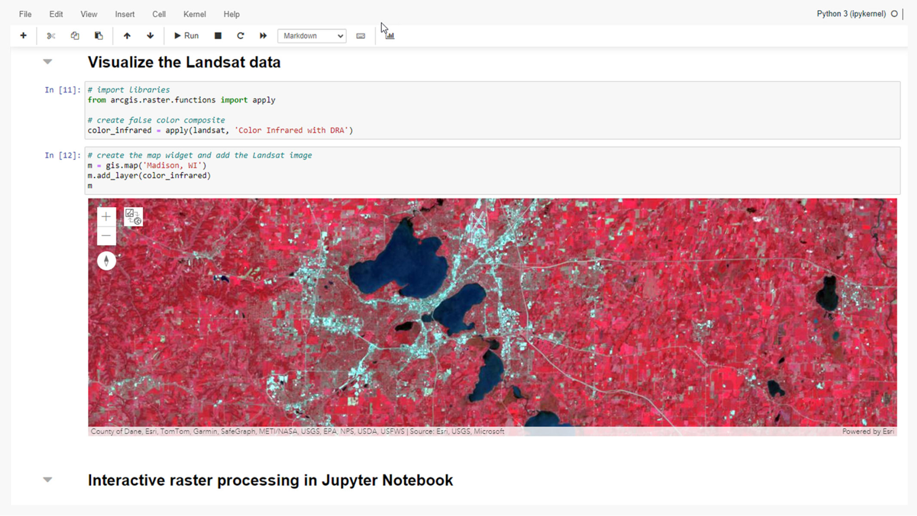
Get robust scripting tools in ArcGIS for automating tasks such as mapping, analysis, and administration using our Python API or notebooks. ArcGIS deep linking and webhooks allow easy integration with other apps to streamline workflows and map sharing.
Unlock the potential of location data with ArcGIS Maps SDKs. Build interactive mapping solutions for any device and create stunning, immersive experiences.

Build compelling web mapping applications with ArcGIS Maps SDK for JavaScript and enhance web design with Esri’s Calcite Design System, a collection of design and development resources. Additionally, integrate location intelligence into our open-source libraries.

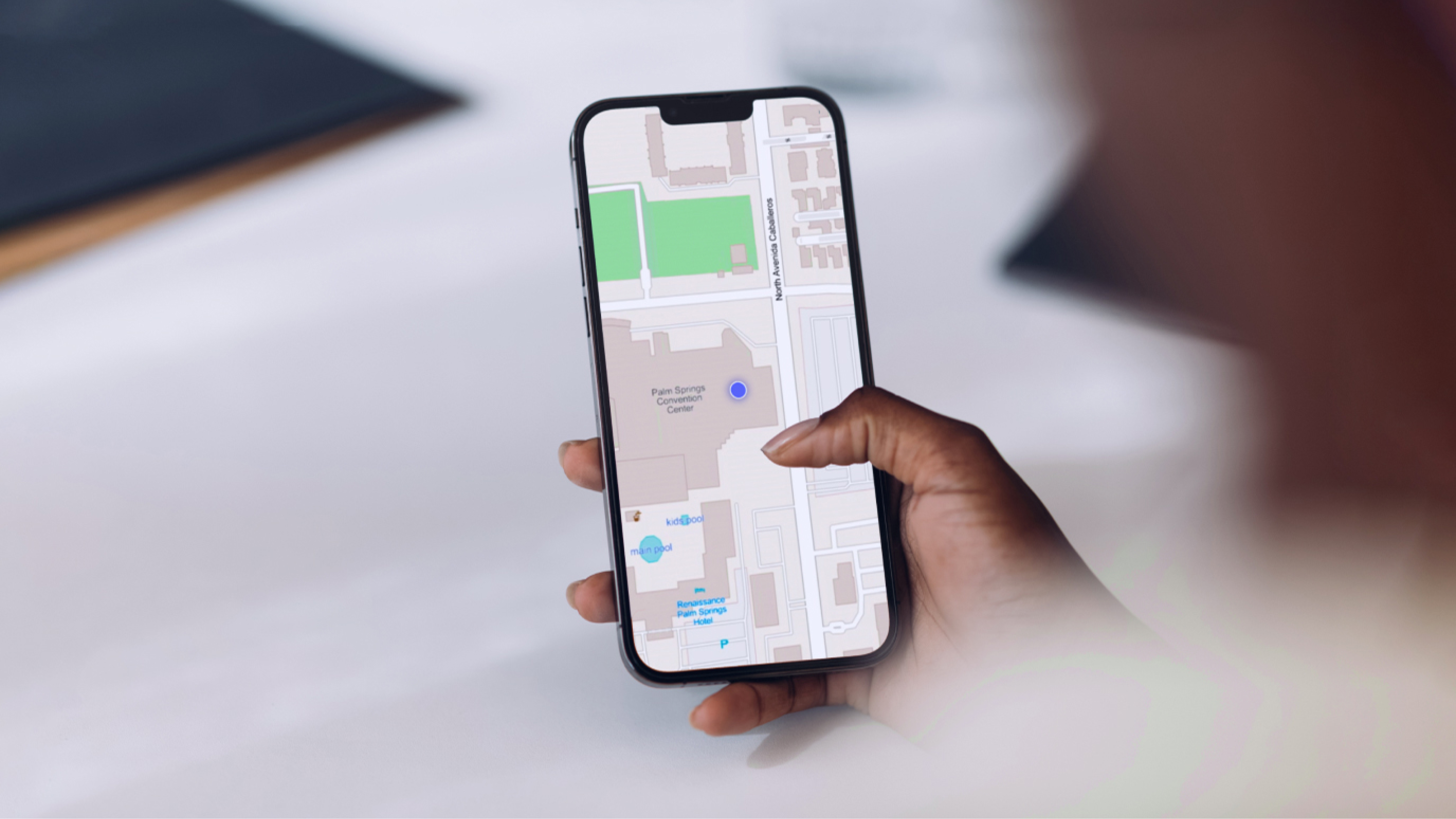
Create solutions with .NET, Flutter, Kotlin, Swift, and Qt. Develop powerful 2D and 3D mapping applications with online and offline capabilities for mobile phones, tablets, desktops, and embedded devices. Build solutions for Android, iOS, Linux, macOS, and Windows devices.

Create solutions with ArcGIS Maps SDK for Unity and ArcGIS Maps SDK for Unreal Engine. Build your 3D and extended reality (XR) applications by integrating GIS data to create beautiful and interactive experiences.
Bring location intelligence to your solutions with powerful location services.
Esri offers APIs to help developers extend the capabilities of ArcGIS to build focused workflows based on your specific requirements.
Explore the fundamentals of developing with our foundational products. Find out which product best suits your needs.
ArcGIS Location Platform is a platform as a service (PaaS) for developers building mapping and spatial applications. It provides easy access to location and spatial analysis services, and is ideal for building public-facing applications that do not require users to sign in.
ArcGIS Online is a software as a service (SaaS) that helps developers build custom mapping applications with sophisticated spatial analysis capabilities. Applications, content, and data can be securely shared internally or externally for effective collaboration and decision-making.
ArcGIS Enterprise powers mapping and visualization, analytics, and data management. Extend and customize it with ArcGIS Enterprise SDK to add depth and value to your existing GIS deployment. Additionally, focused experiences can be created using low-code/no-code and client SDK technologies.
ArcGIS Pro is the premier desktop GIS software. Extend it with ArcGIS Pro SDK for .NET to create tools, customize user interface (Ul), and integrate data formats, streamlining GIS projects across platforms. ArcGIS Pro is accessible with foundational user types for ArcGIS Online, ArcGIS Enterprise, and in the ArcGIS Developer Bundle.
Stay up-to-date with product announcements and important product information.
Sign up and get curated content delivered to your inbox.
Connect with our developer community to ask questions, learn, and share information.
7:00 a.m.–5:00 p.m., Monday through Friday (PT)
Start a chat
Fill out the contact form