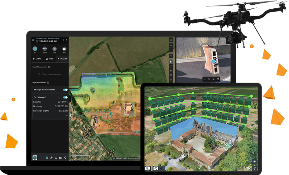
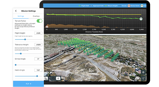
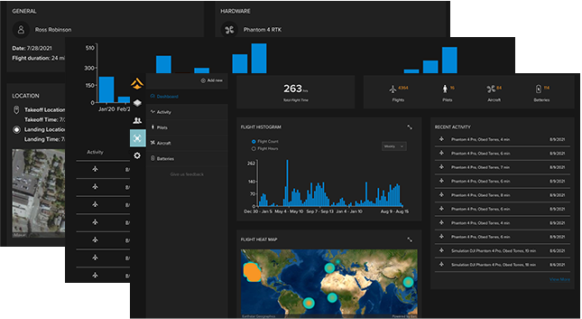
Site Scan for ArcGIS, part of the ArcGIS Reality suite of products, is the end-to-end, cloud-based drone mapping software that revolutionizes drone imagery data collection, processing, and analysis. Maintain a complete picture of your drone inventory and flight history with automatic fleet management. Stay up-to-date with accurate imagery, using repeatable flight plans that ensure high-quality data capture when flying your drones.
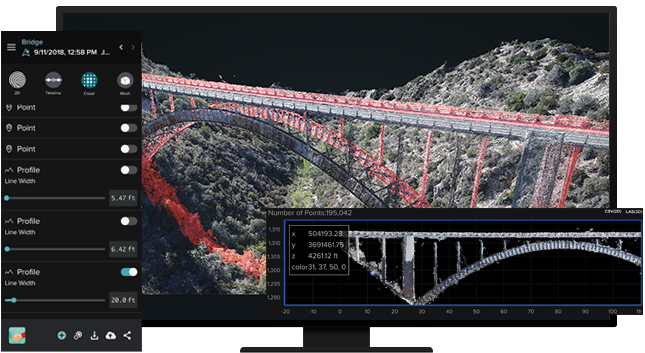
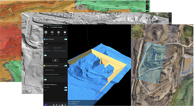
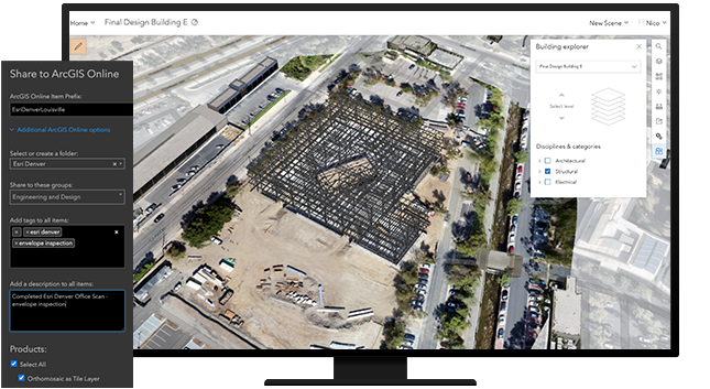
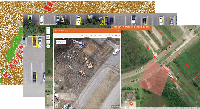
Securely process imagery in a scalable cloud environment to create high-quality 2D and 3D imagery products that can be quickly shared throughout your organization, on any device. Save time by using the measurement and analysis tools to get the answers you need from your data. Directly publish your drone data to your ArcGIS organization to perform advanced drone analytics such as object detection and application of artificial intelligence (AI).