Get started with Site Scan for ArcGIS
In this course, you will learn more about the capabilities and features of Site Scan for ArcGIS such as flight planning.
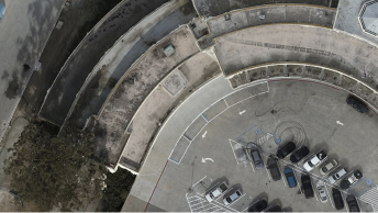
Start reality mapping with Site Scan for ArcGIS.
Find installation instructions, system requirements, and more to help you create and complete your projects with Site Scan for ArcGIS.
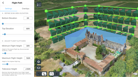
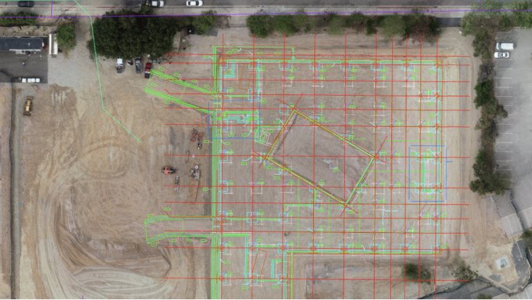
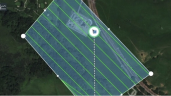
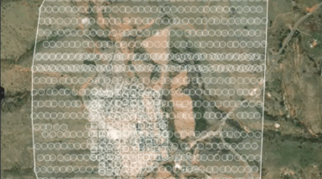
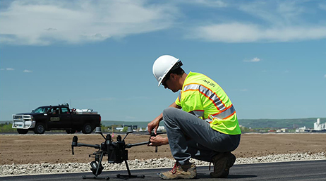
Capturing drone imagery with ArcGIS Flight
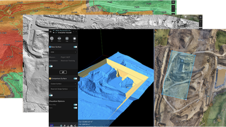
Creating imagery products in Site Scan for ArcGIS
Site Scan for ArcGIS videos
What's New in Site Scan for ArcGIS
What’s New in ArcGIS Reality

Launching a drone program: A step-by-step guide
Generating high-quality outputs from drone imagery
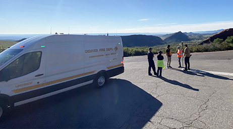
Maps inform crowd safety at Red Rocks Amphitheater

New Freefly Astro drone now supported in Site Scan
Using drone-derived 3D meshes in ArcGIS Flight

Aegean Energy Group

Tahoe Environmental Research Center

OCMI Inc.
Short Elliot Hendrickson Inc.

VCTO Labs

GeoAcuity
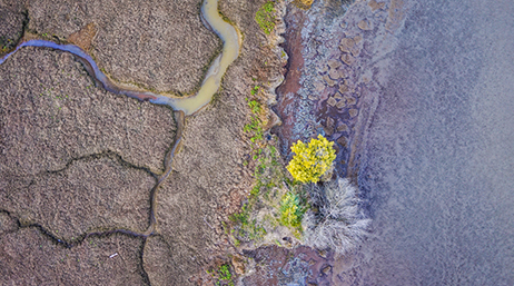
San Francisco Estuary Institute
Read articles from the Site Scan for ArcGIS team. Connect to ask questions and learn more.
Do you have an idea to improve Site Scan for ArcGIS? Submit your ideas.
Explore the resources for the applications in the ArcGIS Reality suite.