Documentation
Find answers and information so you can complete your projects.
Included with the Professional Plus user type
Comprehensive image analysis software for your desktop
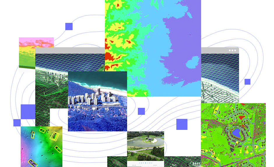
ArcGIS Image Analyst expands your arsenal of advanced imagery tools and user experiences to improve and simplify workflows.
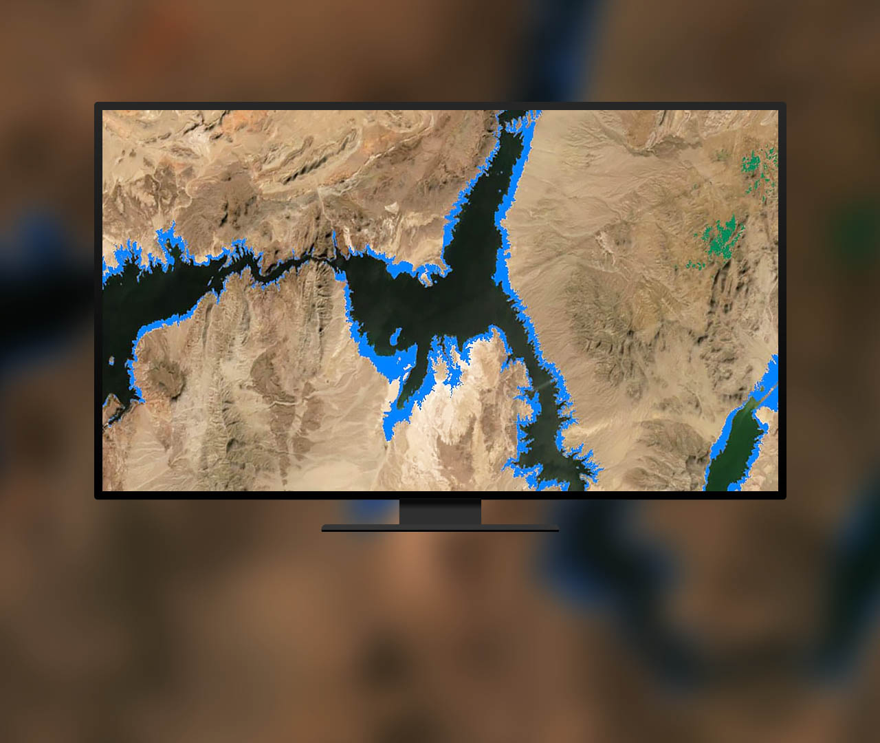
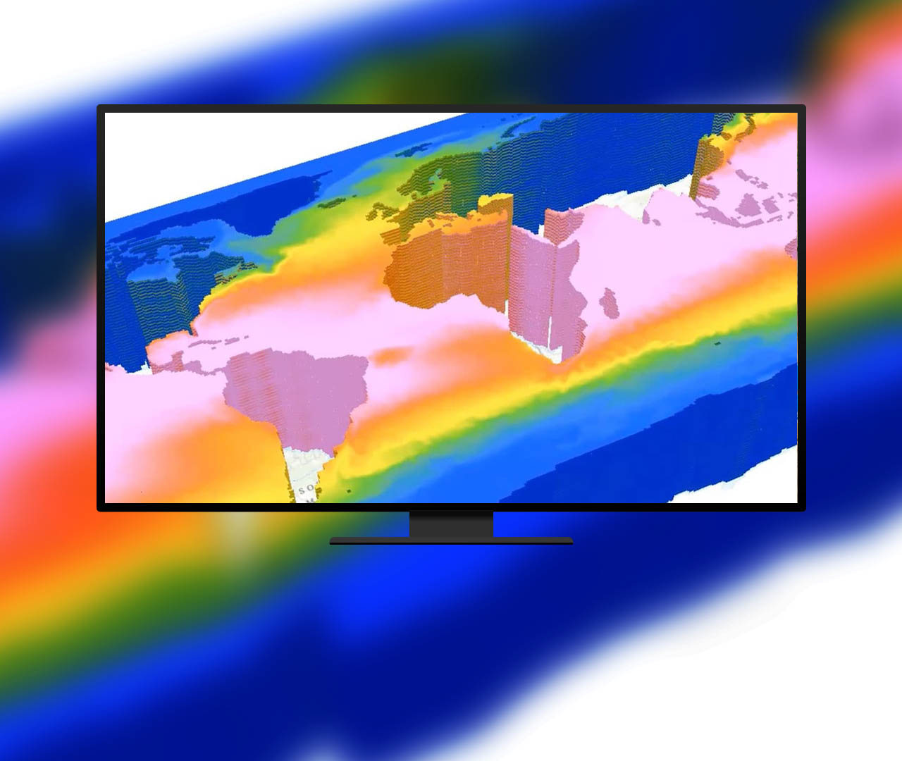
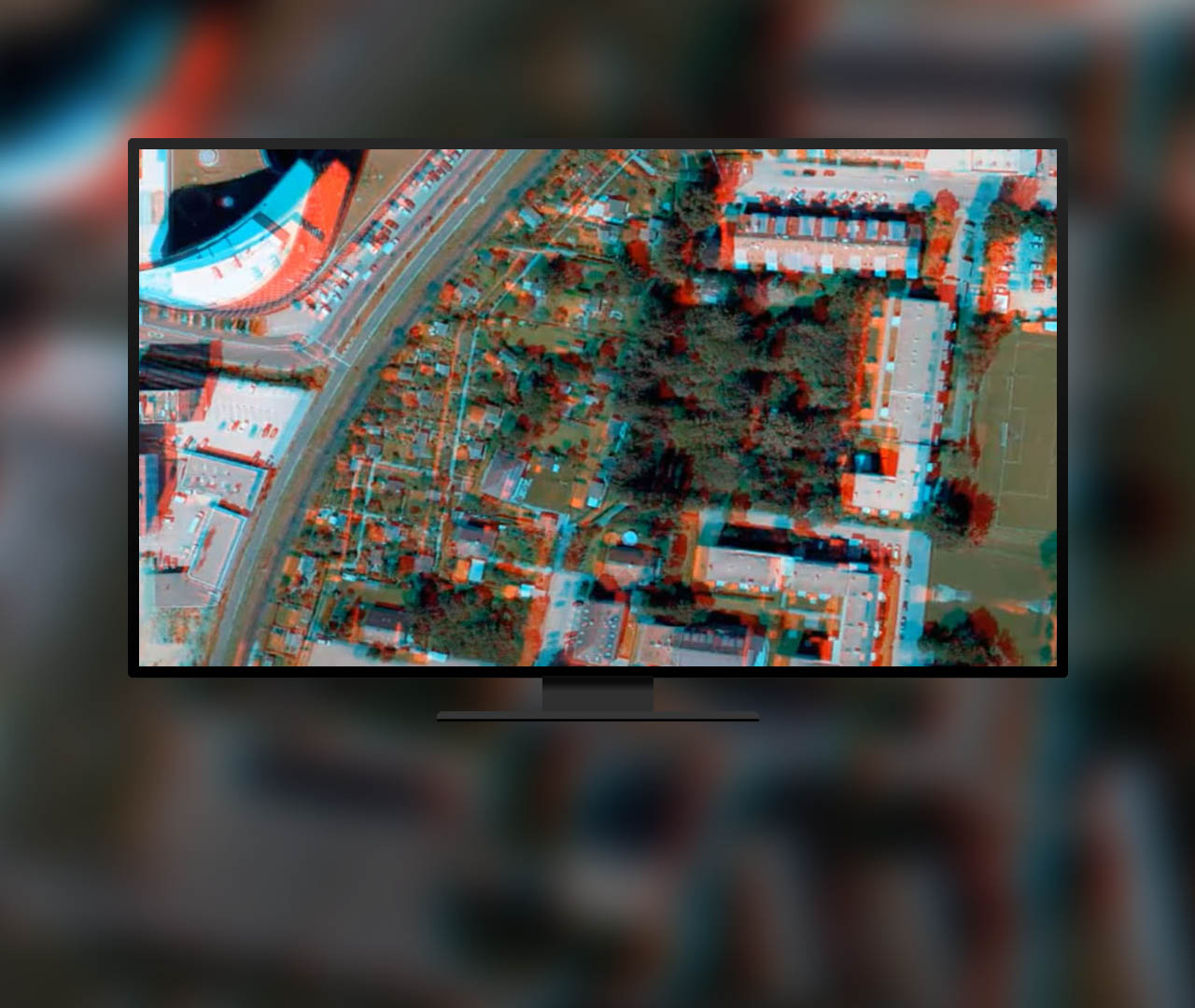
Work with different spatial, spectral, and temporal resolutions. Combine nadir, oblique, video, multidimensional, and stereo imagery with GIS data.
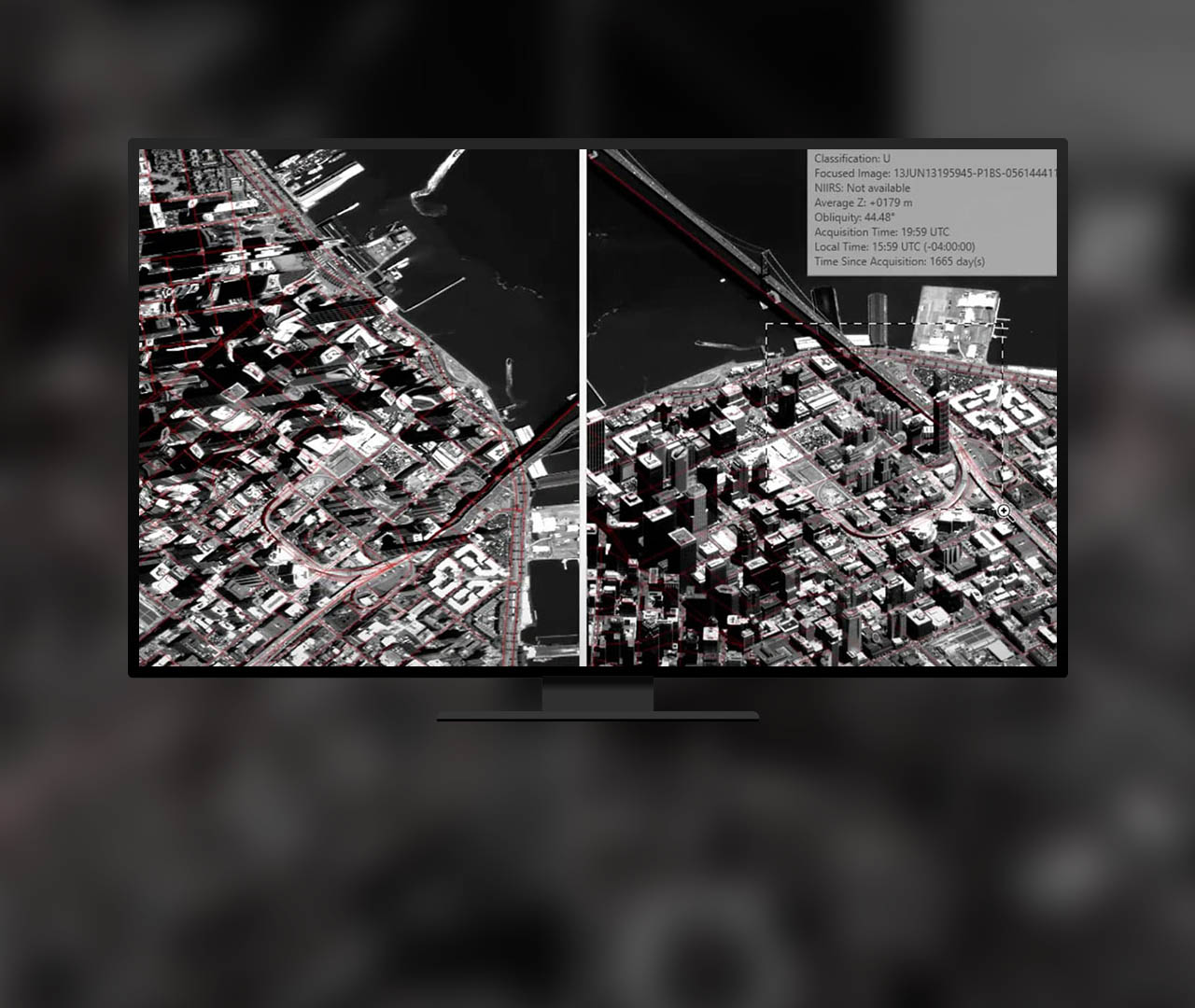
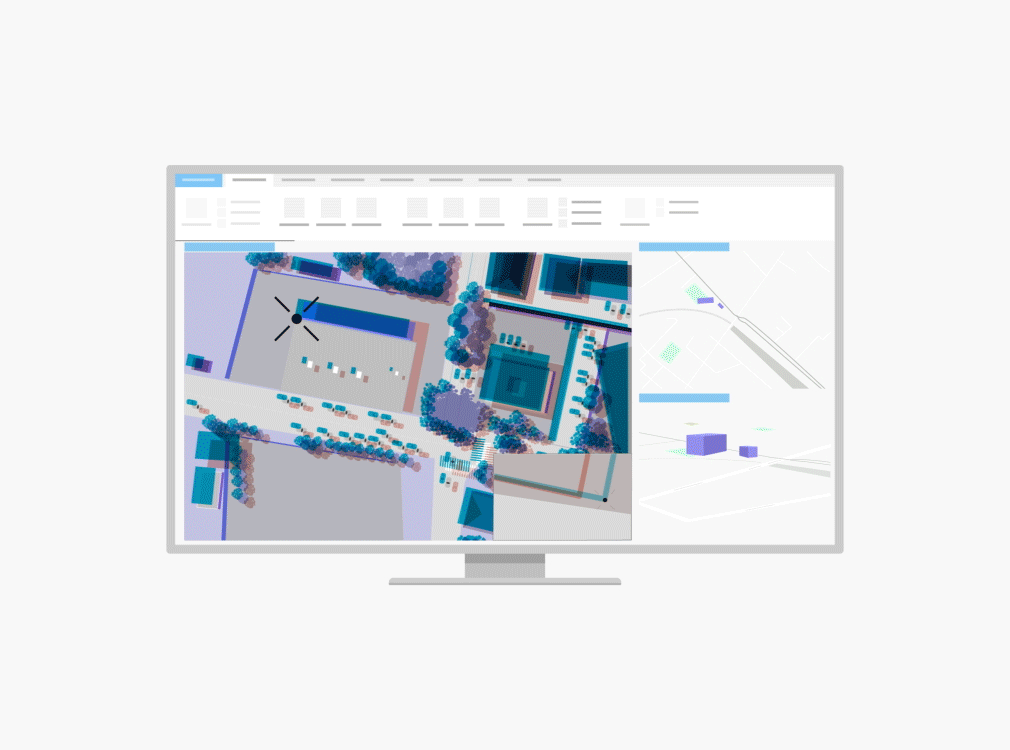
With image space analysis, see imagery from the sensor's view with georeferenced features and map data projected onto the imagery in image space.
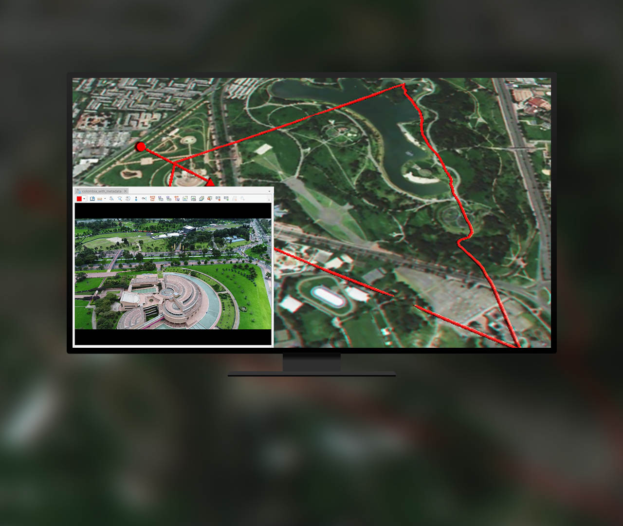
A collection of mensuration tools allows you to take height, distance, point, angle, perimeter, and area measurements.
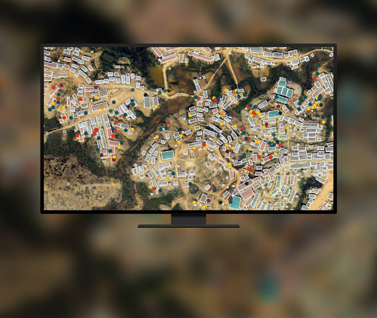
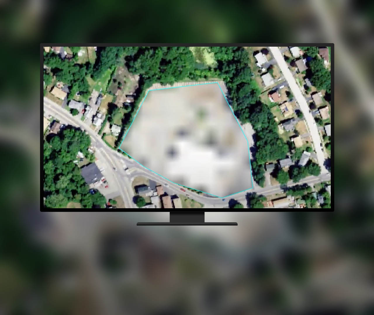
Clean up image classification results, edit elevation values in a digital elevation model, and redact sensitive areas from imagery.
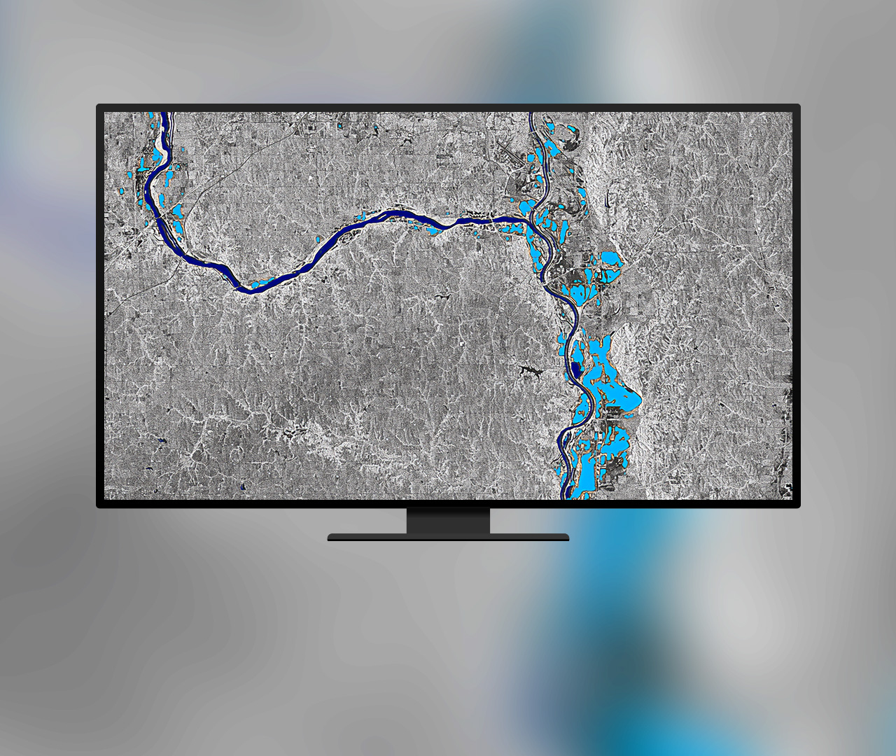
Use tools specifically crafted for advanced image analysis such as machine learning, deep learning, multidimensional analysis, and change analysis.
Included with the Professional Plus user type
The Professional Plus user type is a comprehensive license that includes access to ArcGIS Pro Advanced, the most popular ArcGIS Pro extensions, and many other ArcGIS capabilities on web and mobile devices. With Professional Plus, you can perform thorough analysis, create 2D/3D production-ready cartography, utilize artificial intelligence (AI) workflows, build custom apps, and automate your workflows.

7:00 a.m.–5:00 p.m., Monday through Friday (PT)