Navigate in real time with ArcGIS IPS
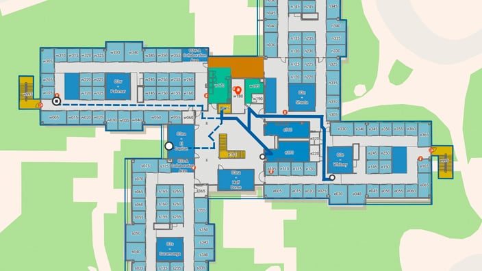
ArcGIS IPS is Esri’s positioning system that allows you to locate yourself and others inside a building in real time. Similar to GPS, it puts a blue dot on indoor maps and uses location services to help you navigate to any point of interest or destination. Real-time indoor navigation empowers occupants, visitors, and mobile workers to navigate and understand their indoor environment more effectively.
Employees and visitors can reserve workspaces with Indoors Mobile, and if they have ArcGIS IPS, they can locate themselves in a building and navigate to their reserved workspaces in real time.