Visualize for efficiency
Give the power to interpret imagery and take informed action
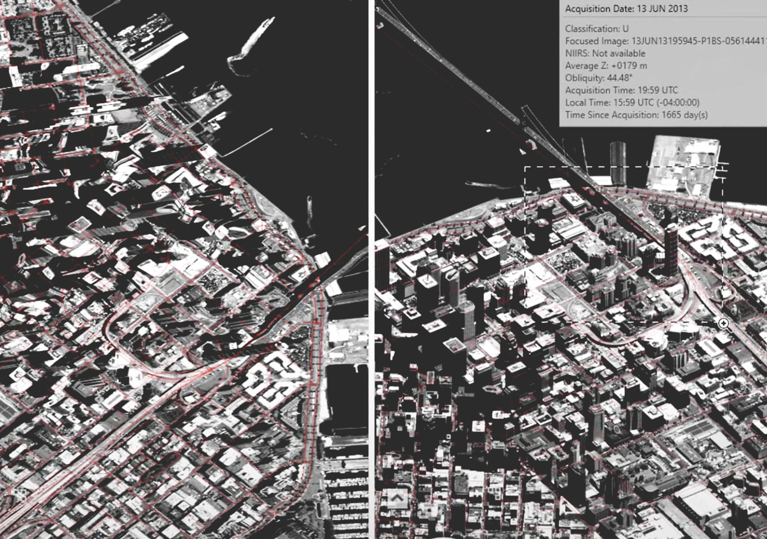
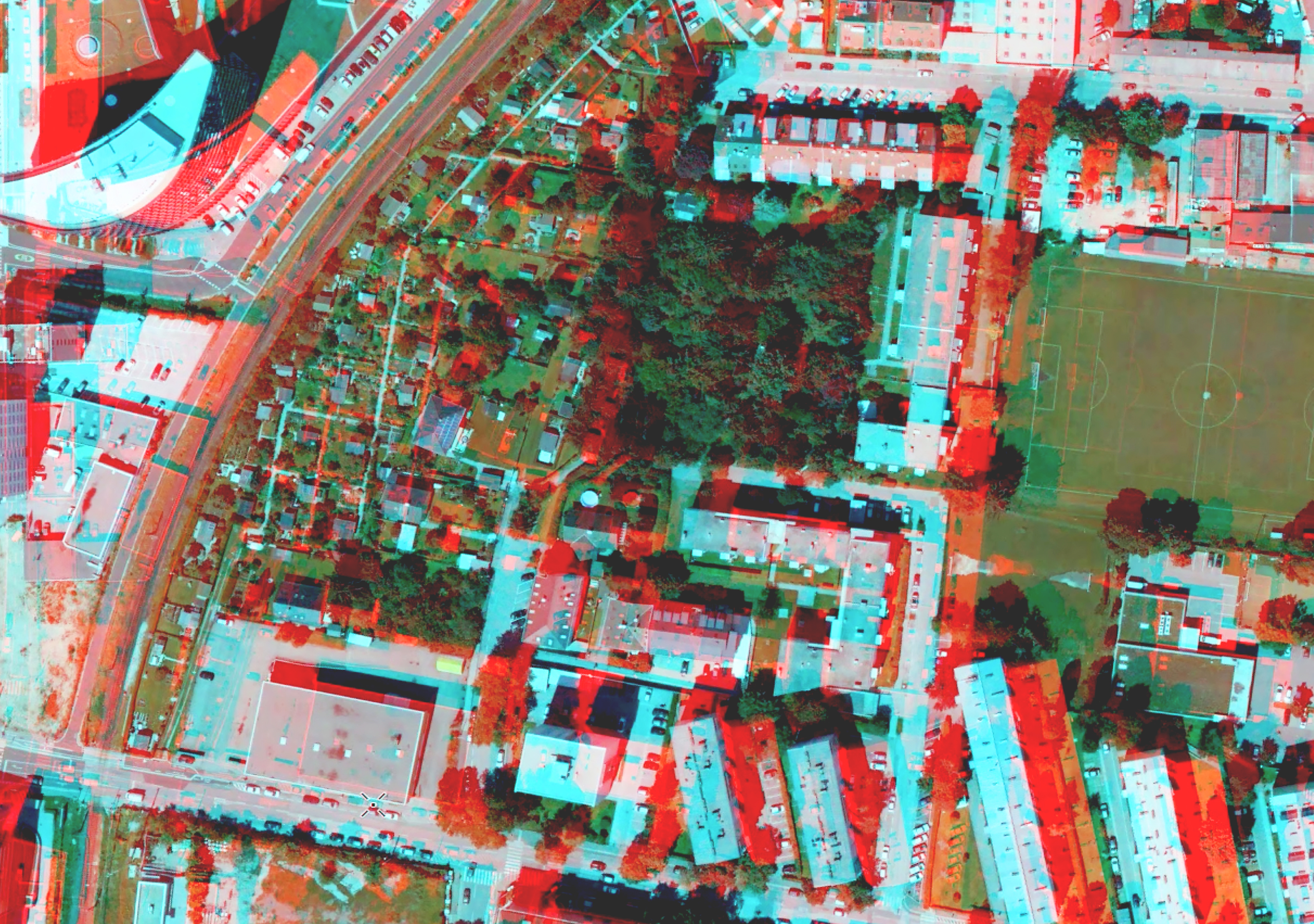
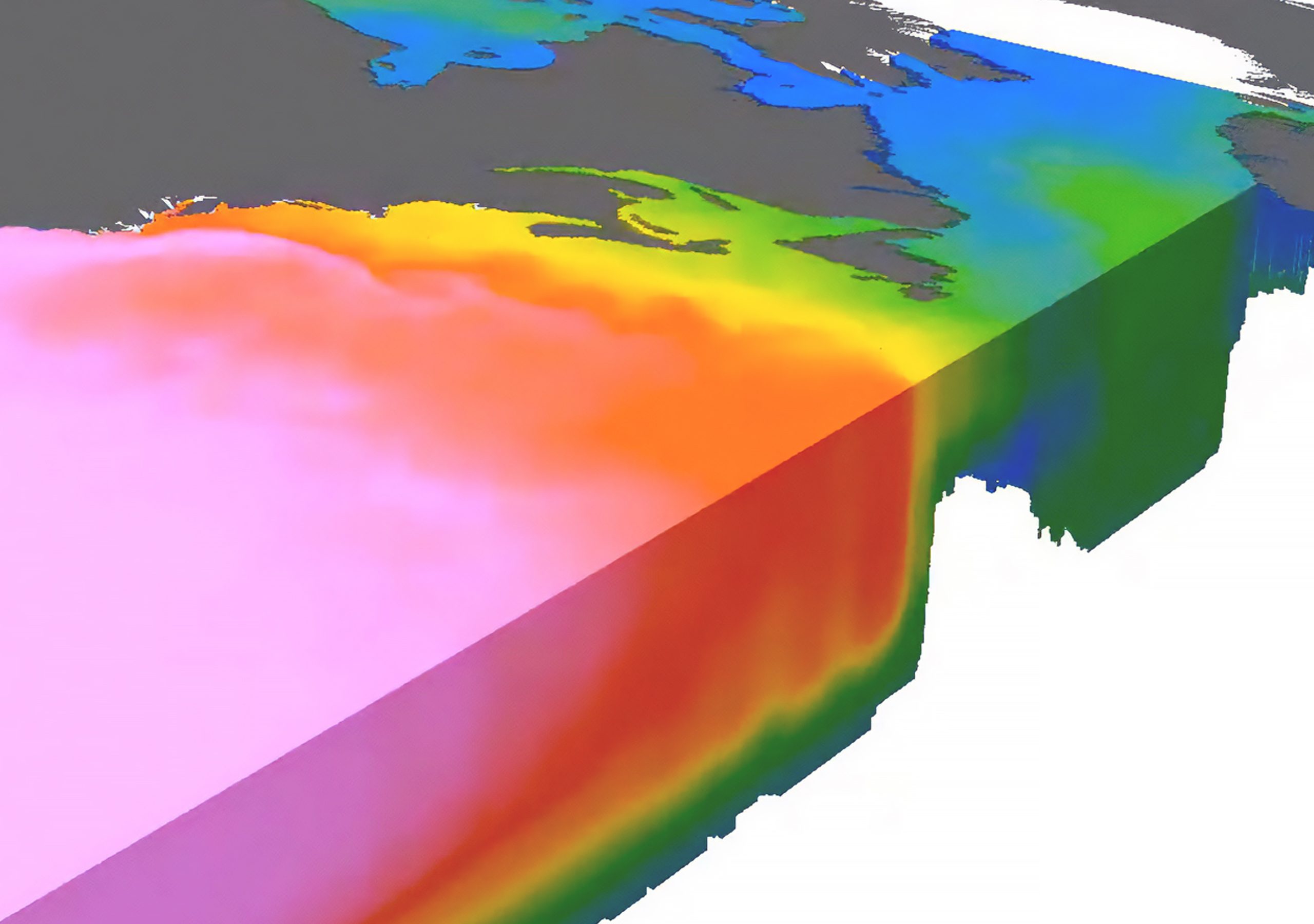
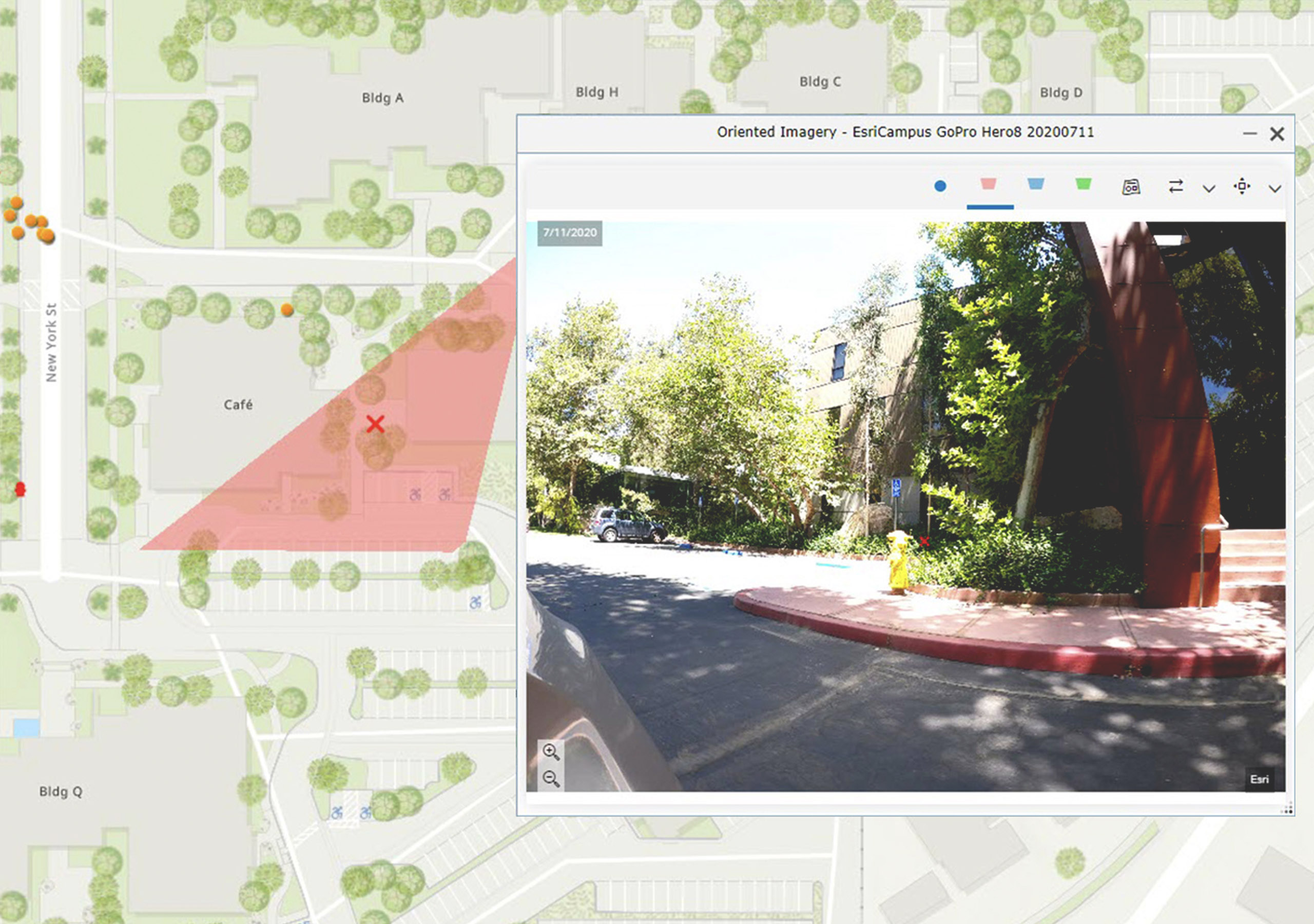
ArcGIS helps you visualize all kinds of imagery—from stereo, oriented, and multidimensional to motion imagery—for effective image interpretation. View 2D or 3D imagery interactively in Esri’s desktop and web applications. Create and share dynamic applications, reports, and visual stories using imagery to help others see where action is required.
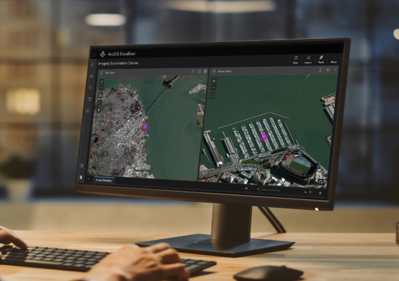
Enhance imagery with geospatial context
Choose the deployment that meets your requirement—reduce upkeep time with SaaS or choose on premises options for greater control.
Visualization for efficiency and accuracy
Use desktop and web apps to help view imagery in its natural orientation, distortion free, or in 3D to interpret visual data more accurately.
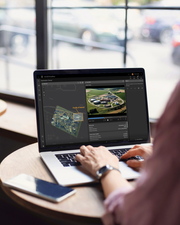
View imagery in motion
Include video as another data source that seamlessly integrates into your analysis workflows. Stream live video to get near real-time insights.
