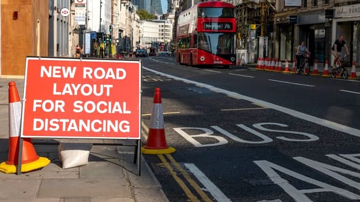
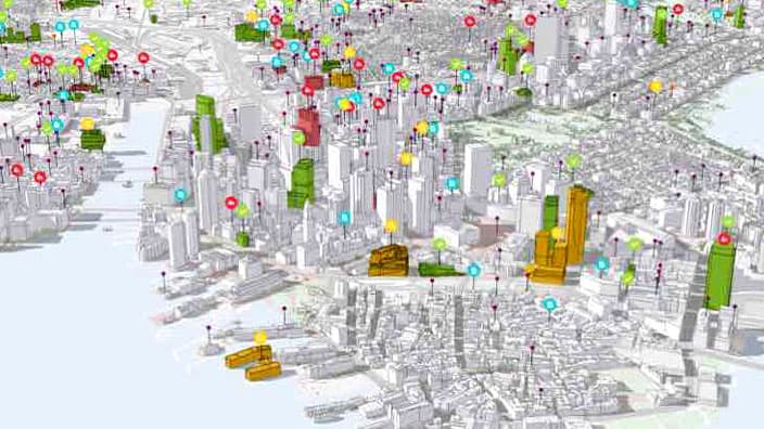
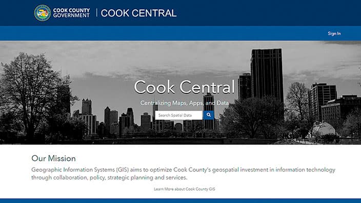
Skip to Content
An aerial view of the downtown Chicago waterfront at sunset, overlaid with a traffic map of city streets

City of Chicago: Urban Operational Intelligence

Connecting citywide systems for awareness, efficiency, and safety

Get the ebook

A geographic approach for citywide priorities

Geospatial technology—such as shared operational maps, digital twins, real-time dashboards, and cloud-based data stores—promotes informed, unified decision-making and action across key city departments.

Previous
Next

Ebook: Monitor Citywide Operations in Real Time

The City of Chicago can leverage geospatial technology for equitable, efficient services and operational awareness. In this ebook, you'll read about the leading innovative organizations that are using this technology—including drone imagery, mobile apps, artificial intelligence (AI), and Internet of Things (IoT) sensors—to support these essential goals:

  • Collecting, analyzing, and sharing data
  • Spatially enabling operations
  • Achieving real-time intelligence
  • Integrating important business systems
  • Improving transparency and speeding consensus
  • Bringing stakeholders together for shared solutions
Get the ebook
: A Chicago Transit Agency bus drives across the DuSable Bridge on Michigan Avenue in downtown Chicago.

Let us know how we can help