GIS for planners
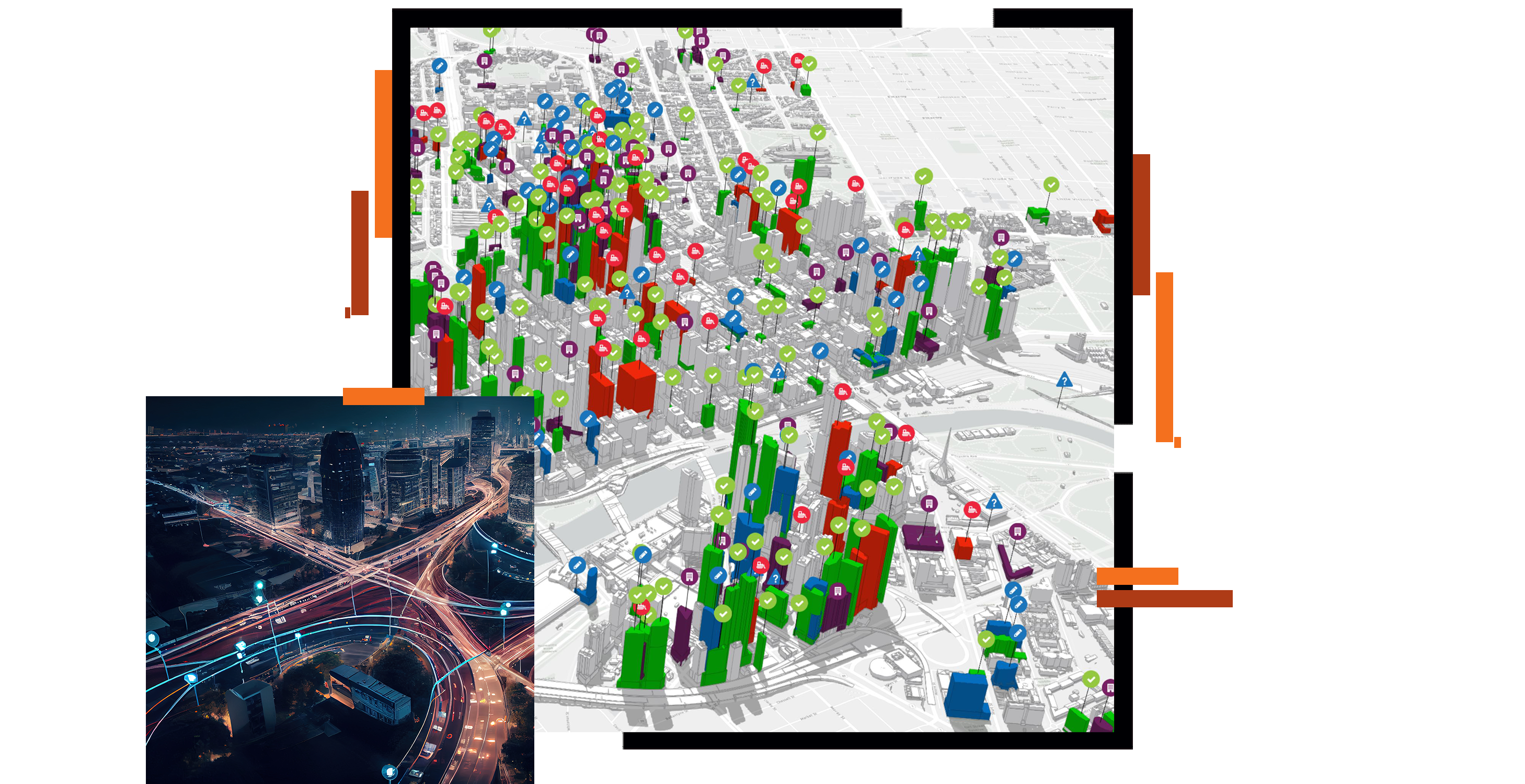
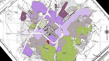
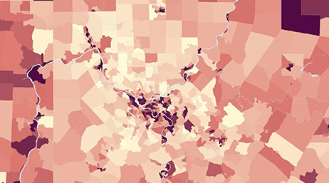
Planners deal with a dizzying array of challenges on a daily basis, including housing, climate change, transportation, and access to parks and open spaces. One of the factors unifying them all is location. GIS provides easy-to-use tools that allow planning students to understand and to solve these complex urban and regional issues.
GIS for urban design
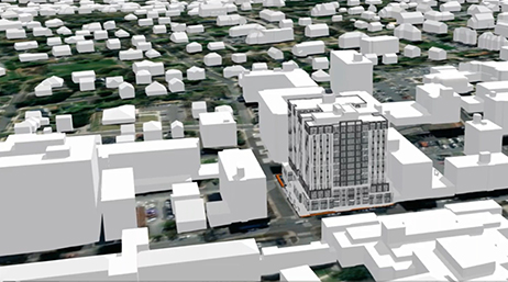
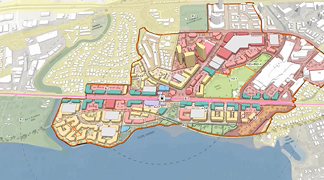
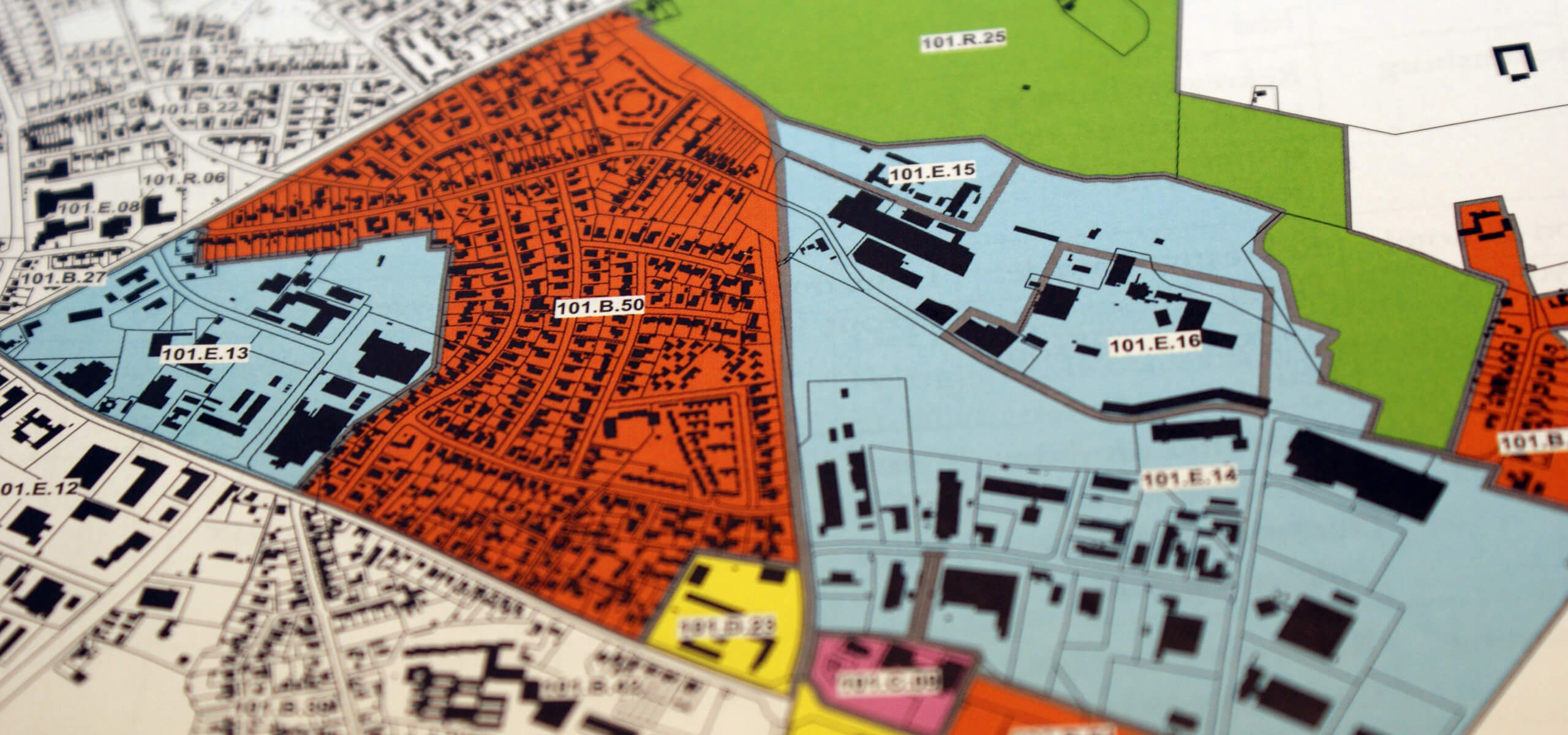
Spatial tools allow urban designers to effectively assess and understand the complex interplay of land use, transportation, demographics, and the environment. GIS provides a framework to allow effective communication and collaboration among stakeholders. Urban design students have the ability to understand and present data in its spatial context to foster engagement and inform decision-making.

Resources
- GIS for planners
- GIS for urban design
Previous
Next
Previous
Next
Webinars and videos
Previous
Next
Want help getting started?
Request help from Esri’s education team to add GIS to your planning and design courses and research.

