Skip to Content

ArcGIS for ServiceNow

Integrate business workflows with ArcGIS location intelligence

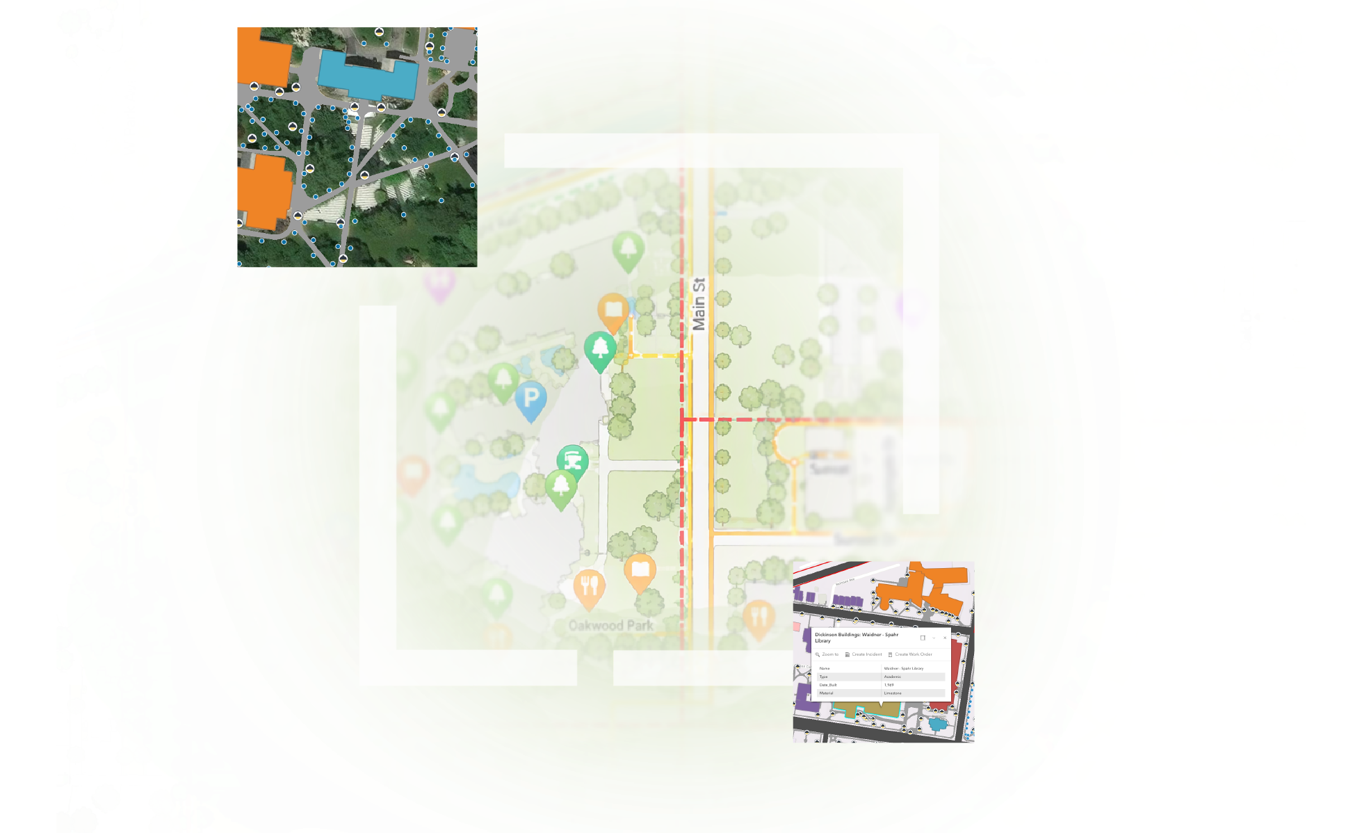
Stylized street map with map points for local features, overlaid with a smaller detailed map and a snapshot of a map analysis menu

Connect ArcGIS and ServiceNow for location-driven workflows

ArcGIS for ServiceNow connects business workflows with location intelligence, enabling organizations to visualize ServiceNow data in a geographic context while bringing ArcGIS insights directly into operational processes.

ServiceNow manages critical workflows—tracking assets, incidents, work orders, and service requests—while ArcGIS provides the geographic context needed to understand where and why things are happening. Together, these platforms help organizations visualize operations, uncover patterns, and prioritize work based on location—while improving coordination and decision-making across teams.

A group of business professionals laughing around a conference table scattered with laptops and graphs

Benefits of ArcGIS for ServiceNow

Previous
Next

How you can use ArcGIS for ServiceNow

ArcGIS for ServiceNow supports cross-platform workflows by connecting ArcGIS and ServiceNow in both directions. It includes two components, each designed for a distinct workflow.

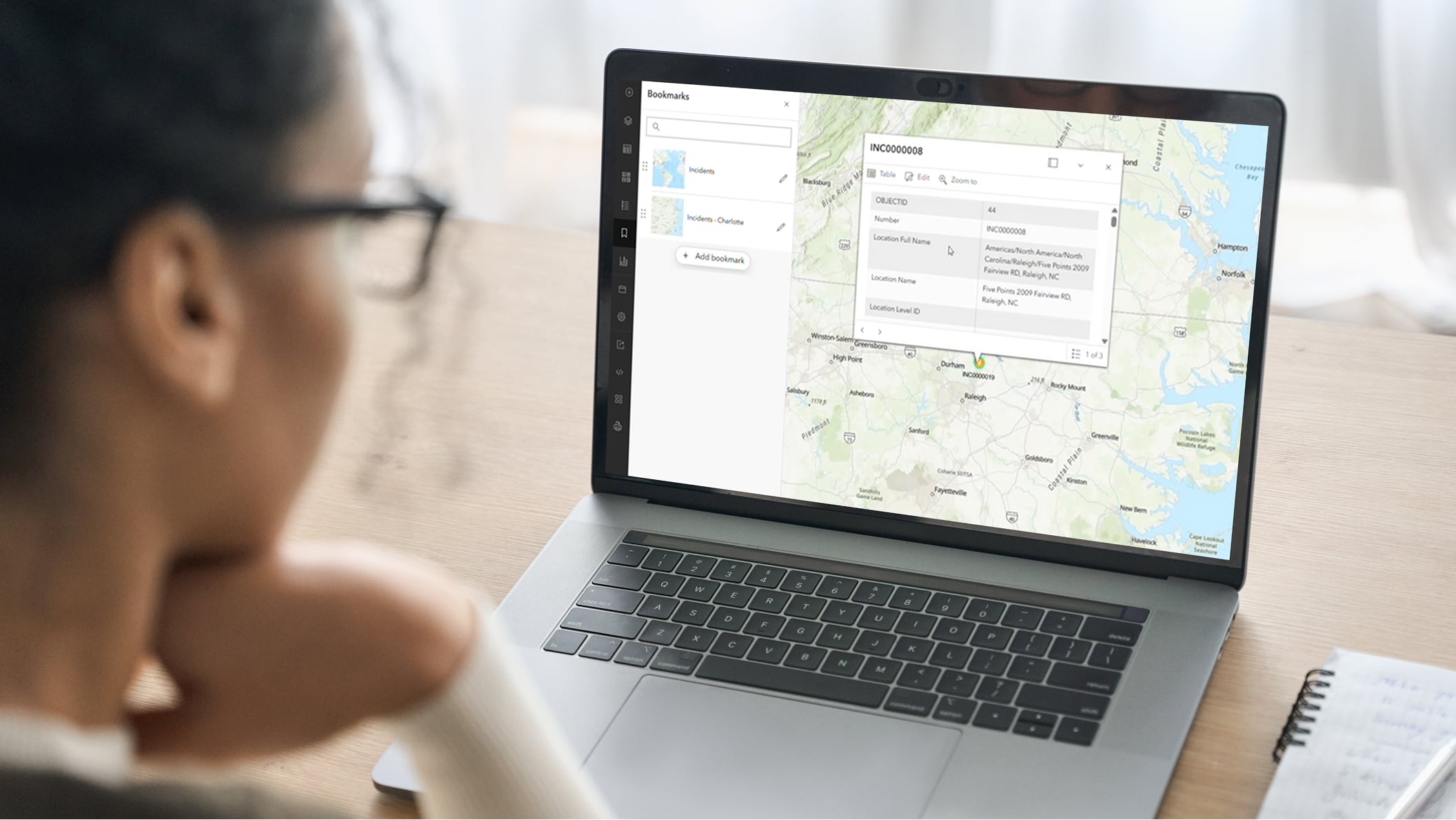
  • A person studying an interactive map on a laptop in a sunlit home office

    Connector for ServiceNow

    Integrate ServiceNow data into ArcGIS

    Bring live ServiceNow data into ArcGIS to map and analyze incidents, assets, and work orders without duplicating data to gain operational insights.
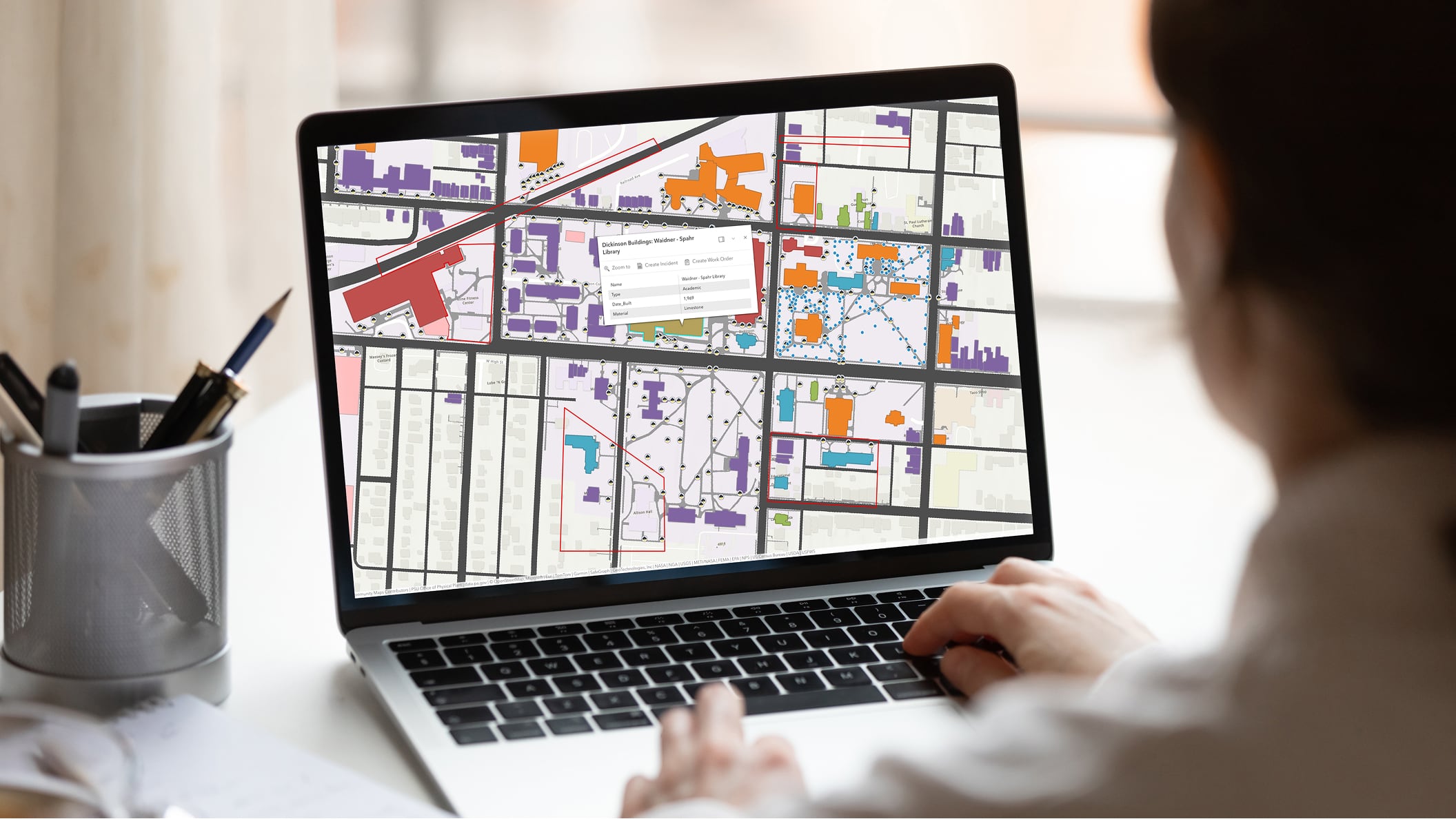
  • A person typing at a laptop displaying an interactive street map

    ArcGIS Maps for ServiceNow

    Bring ArcGIS into ServiceNow

    Provide location intelligence directly into the ServiceNow experience so you can visualize data, identify patterns, and take action.
Previous
Next

Contact Esri

If you have questions or want to learn more, please enter your contact information below and Esri’s team will follow up.