Operational preplanning
Define your operating environment. Plot and visualize your tactical resource assignments as an overlay to your area of interest (AOI). Share critical information with teams.
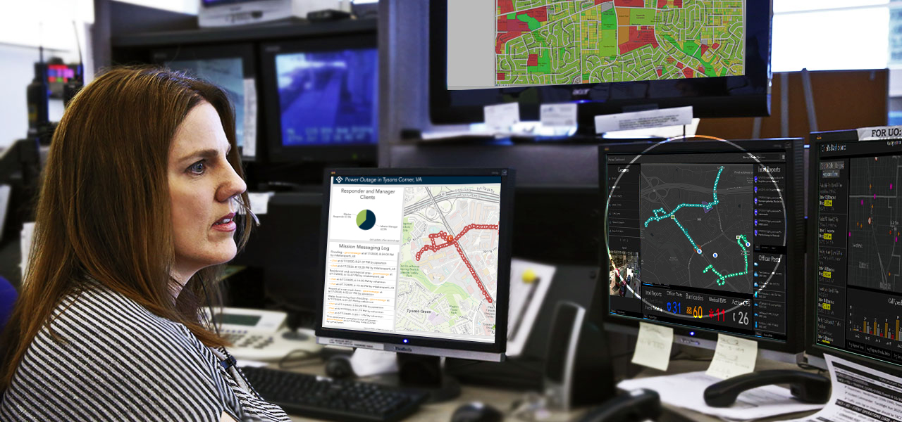
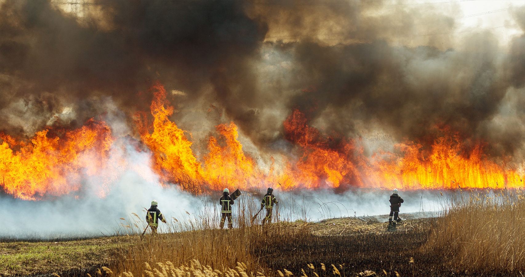
Global events like civil unrest, natural disasters, wildland fires, and widespread public health threats all reflect the heightened need for coordinated activities and response capabilities. In this environment, safety and security professionals need integrated situational awareness, incident management, and command and control (C2C) capabilities to make informed decisions.
ArcGIS Mission is a unified solution that supports tactical planning and operations, enabling organizations to manage tactical resources during critical incidents, when real-time situational awareness is required.

Streamline operations with integrated situational awareness to enable a seamless workflow throughout the mission life cycle.

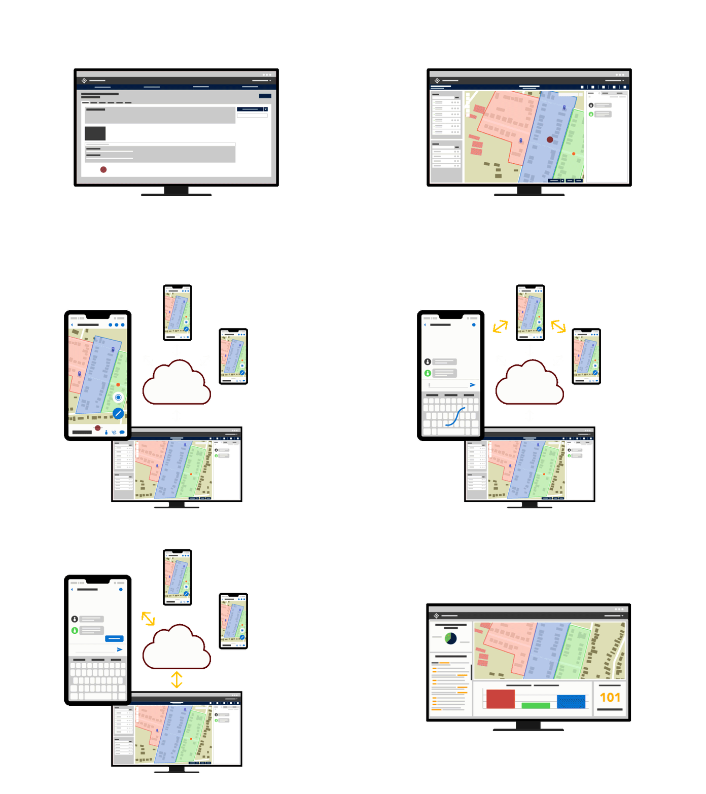
Create the mission, designate the location, assign teams, share documents, and set up mission dashboards.
Access mission information to track, monitor, and coordinate actions via location sharing and peer-to-peer (P2P) communication.
Evaluate mission activity with your team to assess decisions made, understand patterns, enhance performance, and improve planning for future missions.
ArcGIS Mission is a complete tactical situational awareness and mission management solution composed of three components integrated with the ArcGIS platform.

Mission managers assign teams, design maps, share documents, and monitor team member activity by using this web app.
This mobile app is designed for field operators. Users can share their location, communicate via chat, find points of interest, share mission photos, and more.
An ArcGIS Enterprise server role provides the processing necessary for communication between the components of ArcGIS Mission.
Get in touch with our sales team to learn more and schedule a demo.