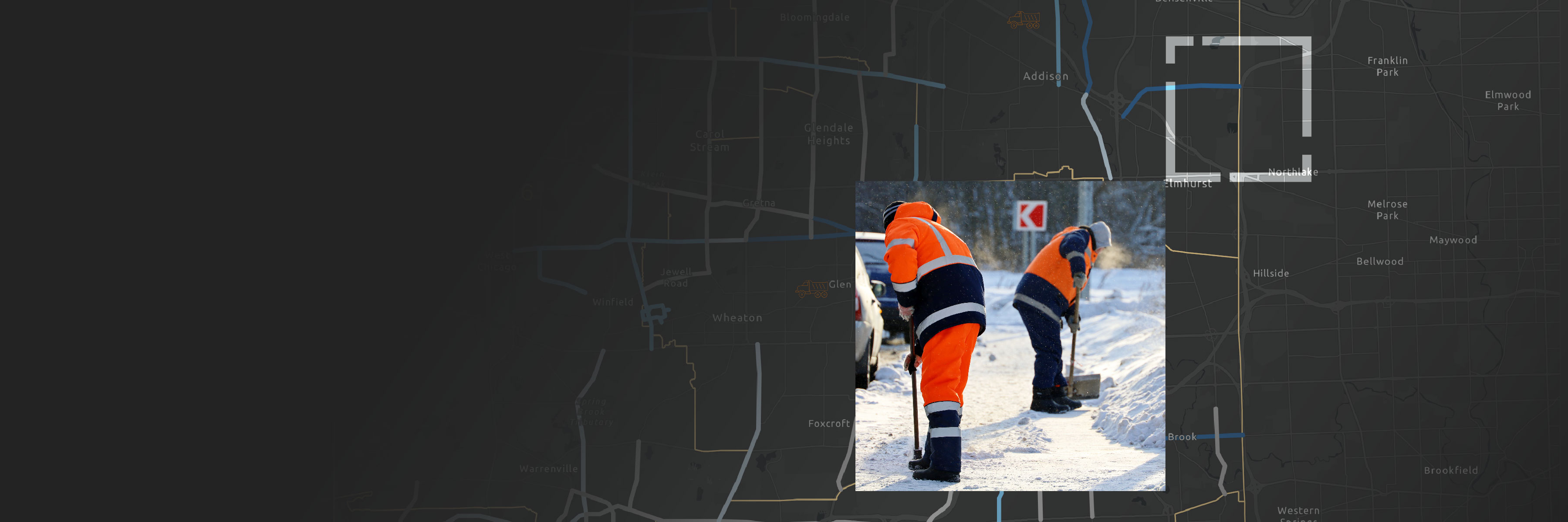
Two people in orange safety gear shoveling snow by a roadside with a background of a large dark gray map

Optimize and Manage Winter Weather Operations in Real Time

Streamline your winter weather operations

Winter weather impacts roadway safety and increases the risk of traffic accidents. Governments spend over two billion dollars annually to plan, prepare, and execute winter weather operations. As the intensity of winter storms increase, it is crucial for agencies to incorporate real-time data in their response activities.

ArcGIS Solutions, Esri’s collection of industry-specific configurations of ArcGIS, offers a real-time mapping, technology-based Winter Weather Operations solution. This solution utilizes ArcGIS Velocity, a software-as-a-service (SaaS) Internet of Things (IoT) application that allows you to ingest, visualize, and analyze streaming data in real time to make informed operational decisions.

Read the blog
Play the video
A dark icy road cutting through a forest of towering snow-laden pine trees with deep snowbanks on both sides under a pale winter sky

Real-time winter weather operations benefits

Learn how governments plan and conduct response activities for adverse weather, monitor winter weather operations in real time, track snowplow vehicle locations and materials used during weather events, respond to service requests, and share road status updates.

Explore the solution
Previous
Next
Explore the solution

CASE STUDY

Syracuse’s innovative use of smart maps

Our winter weather operations solution showed the ways that geospatial awareness and analysis can inform other operational improvements.

Conor Muldoon

Deputy Chief Operating Officer, City of Syracuse

Read the blog

Additional resources

Previous
Next

Contact us

Complete the form below and an Esri expert will reach out to discuss how you can be better prepared for winter weather by deploying a real-time GIS mapping solution.