
ArcGIS Online for Small Water Utilities
Modern, location-based solutions made to meet your needs

Streamline your service delivery
Robust, cost-effective SaaS solutions help you deliver high-impact results.
- Build a digital inventory
- View network maps
- Keep your data current
- Gain foundational insight
- Embrace the power of location

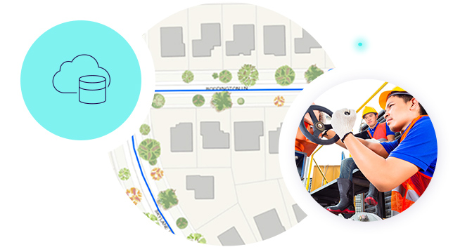
Build a digital inventory
Quickly deploy a user-friendly mobile app that allows your crew members to collect images, status details, and notes about your assets. When they select Submit, the valve, hydrant, pump station, service lateral—or any other asset—is instantly added to your digital network map.

View network maps
See a comprehensive picture of your distribution network on a web-based map. Use this centralized, real-time information to stay agile during unexpected events and respond quickly to main breaks.
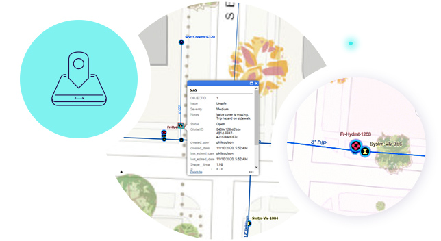

Keep your data current
It's easy to edit and maintain asset data during recurring distribution system inspections or as asset conditions change. Simply find the asset of interest on your digital map, click to edit, and make updates.


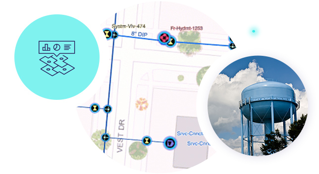
Gain foundational insight
Quickly deploy a real-time dashboard that provides organizational leaders with key insights about your organization's distribution network and assets.


Embrace the power of location
ArcGIS Online for small water utilities goes beyond data management and network mapping. Once you've created your digital network, explore configurations to capture the location tracks of your workforce, manage work orders, conduct inspections, and share public-facing maps with your community.
Create new possibilities at your organization
Previous
Next
Talk to Sales
Get started
Chat now
Start a conversation online.
Call us
Speak with a representative.
(United States)