Introducing ArcGIS Velocity
A new ArcGIS add-on to analyze real-time, high-volume geospatial data
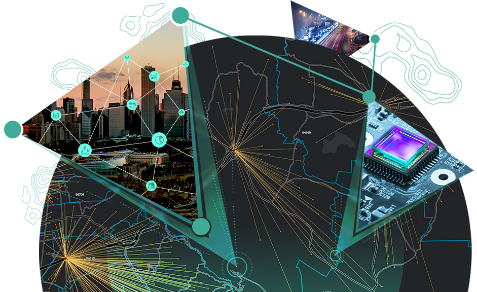
Harness the full potential of IoT
ArcGIS Velocity enables organizations to visualize and analyze spatial real-time and big data to gain insights and make decisions. Join us in this webinar to find out how to use this ArcGIS Online software-optimized solution to process and connect real-time streaming data, analyze larger volumes of information, identify patterns, and take decisive action.