Automate monitoring and reporting
Map-based dashboards connect directly to your operational data and update automatically, reducing manual tracking and costs.
Operations management in arcgis
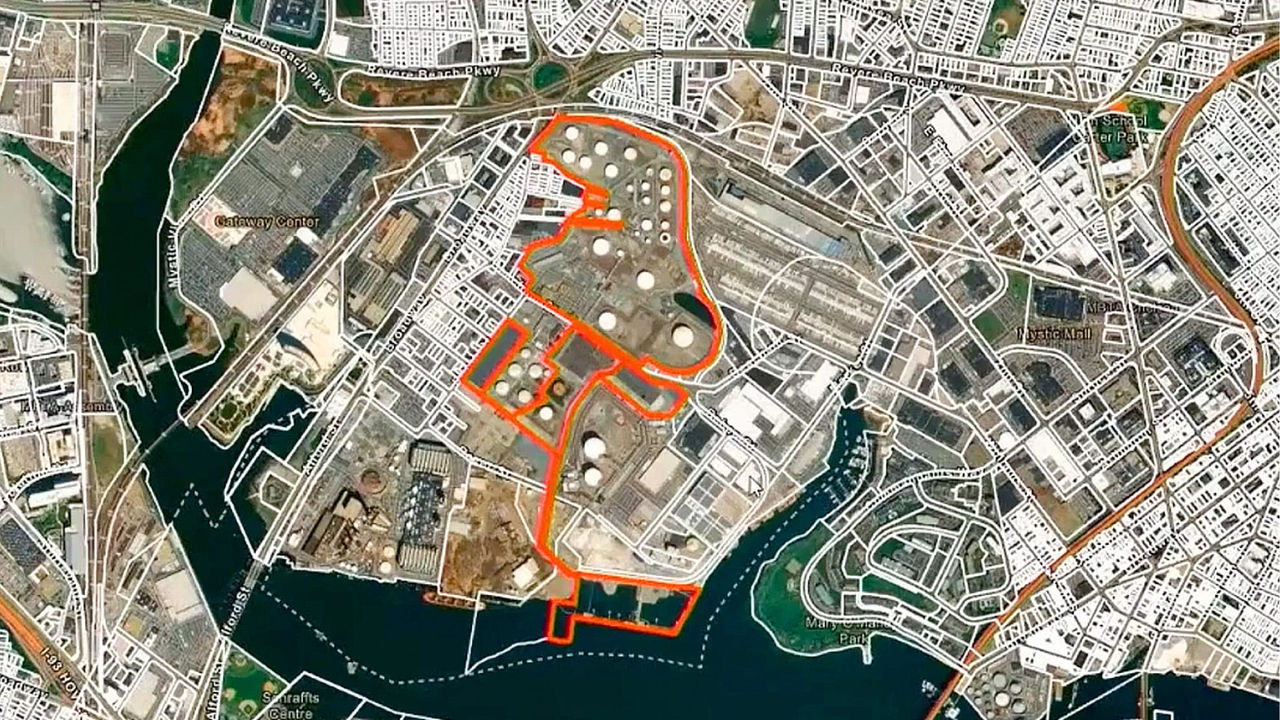
See data on performance, supply chains, customers, and assets on a real-time map to prevent disruptions and costly downtime.
AI-enabled mapping and analytics capabilities in ArcGIS integrate with the systems you already use. Location connects data to reveal patterns across suppliers, facilities, assets, and customers that other tools miss.
To design your operations around what matters most—speed, distance, resources, safety—combine your asset information and constraints with ArcGIS data:
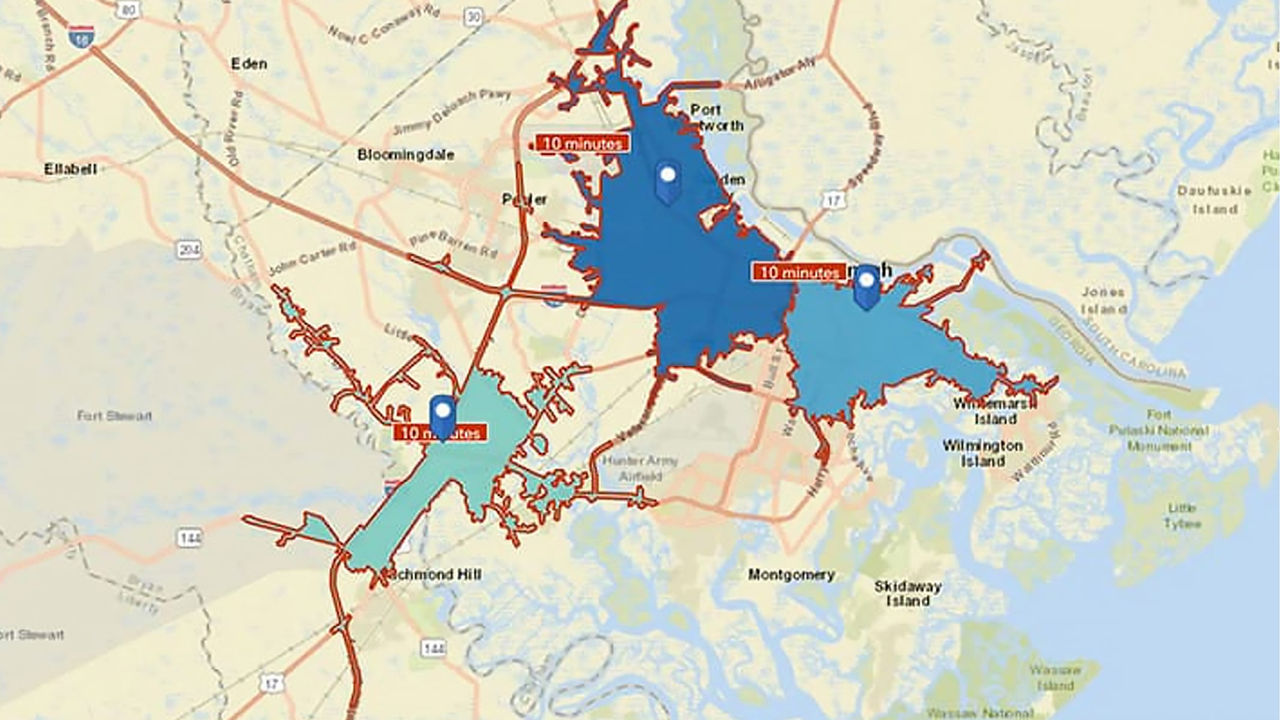
In this map, a logistics company uses ArcGIS to plan last-mile deliveries across its fleet, minimizing drive time and improving customer service.

Choose how your organization uses ArcGIS to support mapping and analytics—whether you need a hosted environment, a self-managed deployment, or direct access to location services.
Tell us about your business. An Esri expert will reach out to discuss how mapping and analytics can help you stay ahead of trends and competitors.