USER STORY
Putting Out Fires by Using Real-Time Data
As a country that's highly susceptible to a range of natural and man-made disasters—including earthquakes, tsunamis, volcanic eruptions, flooding, and forest fires—Indonesia is considerably experienced in responding to catastrophic events.
The Challenge
Badan Nasional Penanggulangan Bencana (BNPB) is the national agency that is responsible for the coordination and implementation of disaster management activities throughout Indonesia. This involves leading an integrated response to all aspects of a crisis, including prevention, preparedness, emergency response, and recovery.
User
Badan Nasional Penanggulangan Bencana (BNPB)
Partner
Esri Indonesia
Challenge
BNPB needed to be able to respond quickly and effectively to a wide range of disasters.
Results
After seeing the positive impact of using GIS, BNPB is looking at additional ways to incorporate the ArcGIS platform into its operations.
The Solution
As part of the agency's ongoing efforts to improve its capabilities, BNPB worked with Esri Indonesia to help enhance BNPB's capacity for field data collection and management with geographic information system (GIS) technology. Esri Indonesia introduced ArcGIS Online to enable comprehensive data integration. The web-based platform allows fieldworkers to upload information anywhere, in real time.
In the face of recent large-scale forest fires, BNPB—working with both Esri Indonesia and US-based specialists supporting Esri's Disaster Response Program—found that the enhanced system drastically improved BNPB's ability to assess the situation and plan emergency responses through the following:
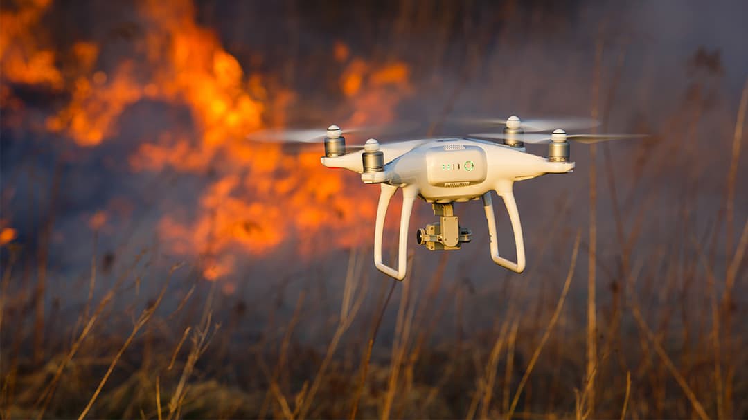
- Improved data collection and recording using Collector for ArcGIS—Fieldworkers and drones could easily record images and data in real time, instantly updating response coordinators with current information.

- Timely data analysis and reporting—With access to accurate, current data, BNPB was able to provide stakeholders with precise updates on fire locations and the severity of haze, ensuring that adequate action was taken to save lives and property and protect the health of citizens.
- The speedy release of updated maps—With the capacity to layer information and make multiple rapid updates, the digital mapping platform ensured that BNPB could quickly produce and release current maps detailing locations impacted by fire and smoke.
The Results
After witnessing the positive difference GIS technology made to BNPB's field data collection and real-time analysis, the agency is now looking at additional ways to incorporate the ArcGIS platform into BNPB operations—with a possible option of including an enterprise-wide solution that would consolidate BNPB systems into a single platform, producing even greater efficiencies.