Book details
Spatial statistics empower you to answer questions confidently and make important decisions using more than simple visual analysis.
Thanks to the data and computational power now at our fingertips, data science appears in every aspect of our lives. But with so many algorithms and buzzwords floating around, how do you start to solve complex problems or figure out where to go next?
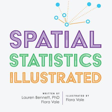
There has never been a more exciting time to learn about spatial statistics. This subject uses an aspect of geography that helps you quantify patterns and relationships so that you can feel confident in your analysis. Spatial Statistics Illustrated is the introductory book for learning spatial statistics in ArcGIS, Esri’s premier desktop geographic information system (GIS) technology.
With approachable explanations and uncomplicated drawings, Spatial Statistics Illustrated gives you a broad understanding of some of the most widely used ArcGIS spatial statistics tools, how they work, and when to use them. In a friendly, conversational tone, the authors—both Esri employees—share techniques that can help you explore your data in meaningful ways; quantify patterns and relationships; understand trends, and make data-driven, informed, and impactful decisions.
This book has something for everyone analyzing data, including:
- Seasoned data scientists looking to explore the value that spatial analysis offers.
- GIS analysts looking to expand their spatial statistics skill set.
- New GIS users discovering the value of spatial statistics.
Spatial Statistics Illustrated is a perfect complement to more traditional technical and spatial statistics texts and is also ideal as supplemental reading for academic courses.
Based on the popular series of spatial statistics workshops presented by the authors at the annual Esri User Conference, Spatial Statistics Illustrated welcomes readers into the unparalleled world of spatial statistics.
Lauren Bennett
Dr. Lauren Bennett leads the spatial analysis and data science product engineering team at Esri. In her role, she oversees the research and development of the ArcGIS geoprocessing framework, which includes spatial and spatiotemporal statistics; raster and multidimensional analysis; machine learning, and big data analytics. Lauren is passionate about the power of spatial data science to make an impact on our world, from racial equity and social justice to public health and climate change. Lauren received a BA in geography from McGill University, an MS in geographic and cartographic science from George Mason University, and her PhD in information systems and technology from Claremont Graduate University.
Flora Vale
Flora Vale is a product engineer on Esri’s spatial analysis and data science team. She is passionate about using spatial analysis and data visualization to answer questions and solve problems. In addition to building software, Flora loves teaching analytical methods through conceptual illustrations, and believes that anyone can learn how to think spatially and make data-driven decisions. Flora studied geography and GIS at University of Maryland and is currently pursuing a PhD in information systems and technology at Claremont Graduate University.