
Updating aviation charts with GIS
Explore how Fintraffic, Finland's air navigation service provider, modernizes aeronautical chart production with GIS.
Explore resources for aviation organizations and authorities and connect with industry experts
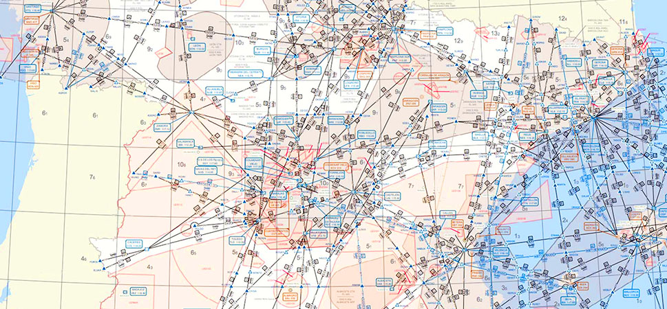
State enterprise (SE) Oro navigacija needed a way to manage and share large volumes of aeronautical mapping information.
Updating aviation charts with GIS

GIS enables real-time aircraft tracking

Streamline obstacle assessment workflows with GIS

Optimizing airfield operations in ArcGIS
Join the geospatial conversation, ask your questions, or browse the forums.

Aviation organizations need to stay up-to-date with the latest aviation modernization trends, technology, and information. Attend one of these informative webinars or speak to one of Esri’s aviation industry experts at an event.

Instructor-led and self-paced options help individuals apply best practices and quickly learn ArcGIS software. Esri training consultants provide complimentary planning services to identify options that will best meet an organization's immediate, short-term, and long-term workforce training needs.

Speak with a representative.