An Invitation to Join Esri’s Environmental Health Webinar Series
Our Challenges
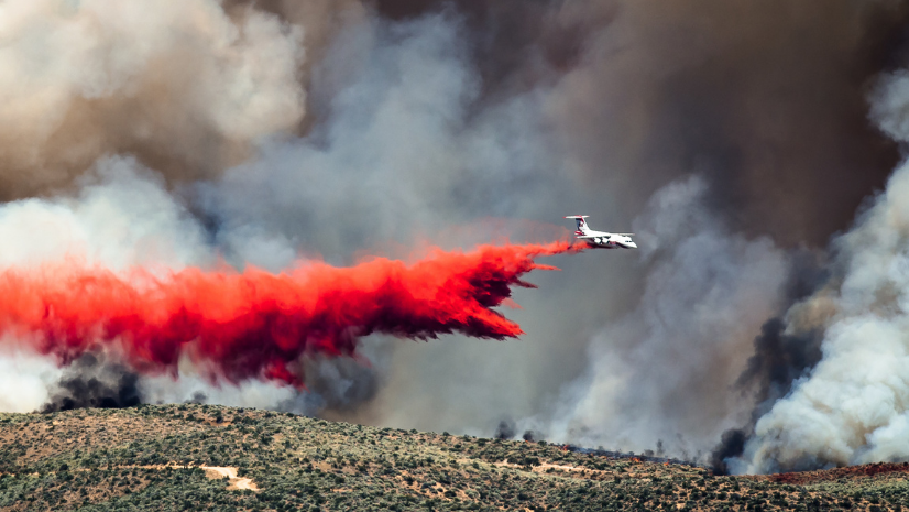
As a public and environmental health professional, I know all too often how daily tasks are truncated, derailed, and delayed to promptly shift focus to address emerging priorities. Disasters such as a global pandemic, severe droughts, and massive wildfires, are a few examples that impede our day-to-day work.
These interruptions claim large resources to coordinate response efforts effectively and efficiently. As if that was not enough, during all of this, we must keep inspections, monitoring, reports etc. from falling too far behind with fear we will never catch up! I know it sounds dramatic, but this is the state of our job in this current era.
Environmental Health Solutions We Need
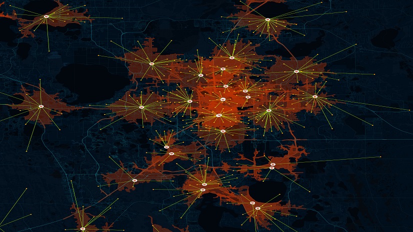
Yet I wonder,what if there was a system that could be automated, improved our operational efficiency with real-time data integration, as well as included regulatory compliance, and integrated environmental justice indicators to help us disperse resources and focus monitoring on areas that need it most?
What if we had access to technology that was built to work with other data systems and allowed us to acquire information, examine and analyze results, and come up with a data-informed solution to the top health challenges we are trying to address?
This is why I joined Esri, they are the global market leader in geographic information system (GIS) technology. GIS brings all levels of government and organizations optimized tools to mitigate environmental threats and address challenges immediately. I have the opportunity to share some of the most applicable technology with all of you and provide examples of how these tools can apply to your everyday work. The unknown emergencies aren’t going away, from droughts to floods we will continuously need to modernize the way we work to stay on top of protecting the health of our communities.
5 Improvements to Environmental Health with GIS
Over the next nine months I will host 5 webinars for us to come together and learn how applying a geographic approach allows us to better understand the spatial patterns and processes of our complex relationship with the environment.
There are enough delays, unexpected emergencies, and preventative efforts that require our time. Let’s modernize and share how our challenges today can become solutions to help all environmental health work.
1. A Geographic Approach Strengthens Environmental Health Practices
In our first webinar we will discuss the importance of utilizing GIS in environmental health. We will learn how to leverage location intelligence to understand our communities in a more complex way.
2. Monitor with Ease by Leveraging GIS technology
GIS allows organizations to incorporate a real-time automated monitoring system. In which you can manage and track data for timely data-driven interventions and critical decision-making all in one system.
3. Improve Operational Efficiency and Streamline Workflows
GIS serves as a communication hub for investigations and inspections, community-based environmental health information and mobilize a workforce to provide timely results. Through GIS environmental health organizations can prioritize workflows, leading to improved performance and transparency.
4. Comply with regulatory requirements
A geographic approach allows organizations to move beyond basic compliance with regulatory requirements as it provides the unique alignment between compliance and an agency’s organizational strategies. This allows organizations to swiftly respond and allocate resources communities with the most need. Customizable technology allows organizations to easily update and adapt with new regulations.
5. Promote environmental justice by prioritizing at-risk areas to achieve health equity for all
GIS technology allows you to identify at-risk communities who are subject to greater health disparities. Applying a geographic lens allows you to leverage demographic data, tools that identify unequal resource allocation, and insight into communities who are exposed to greater environmental threats. Mapping and analysis can expose the disproportionate share of negative environmental impacts and aid in effectively meeting the populations with the most need. I hope these improvements are all factors your organizations is considering in improving and you join this webinar series to learn more. Looking forward to seeing you at our next webinar. Register today.