
Most recent
Introducing the Emergency Management Lens in the ArcGIS Architecture Center
IT pros, GIS experts & EMs: the EM Lens in ArcGIS Architecture Center guides you in planning, designing & operating ArcGIS for EM missions.

Why True GIS-centric Permitting is the Foundation for Future Innovation

Reflections from Esri UC 2026: AI, GIS, and the Future of Mining
Convert Congested Curbs into Intelligent Airport Operations

Positioning HMLP for the Future with ArcGIS Utility Network

Multiple Authors|
From Arc-Curious to Arc-Confident: AEC Enterprise Edition (Part 2)

Weather Intelligence for Airports: Turning Data into Action and Content into Currency

Esri Water|
From Legacy Water Meter Replacement to Smart Metering with GIS

Multiple Authors|
Come Curious, Leave Connected: The Value of GIS Meetups for Nonprofits

Esri Water|
How YVWD Turned Leak Reporting into Actionable Water Intelligence

Connecting Our Work Through Location
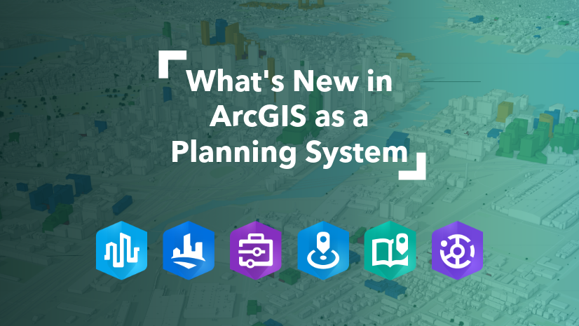
ArcGIS as a Planning System - Q2 Update
