Indio Water Authority (IWA) is the primary source of water resources to the residents of the city of Indio in Riverside County, California, east of Los Angeles County. IWA’s service area is approximately 38 square miles and, according to the entity’s most recent comprehensive report, supplied 6.3 billion gallons of water to 85,000 businesses and residents in 2018. IWA had determined that modernizing its entire geographic information system (GIS) platform would be critical to the authority’s operations.
Challenge
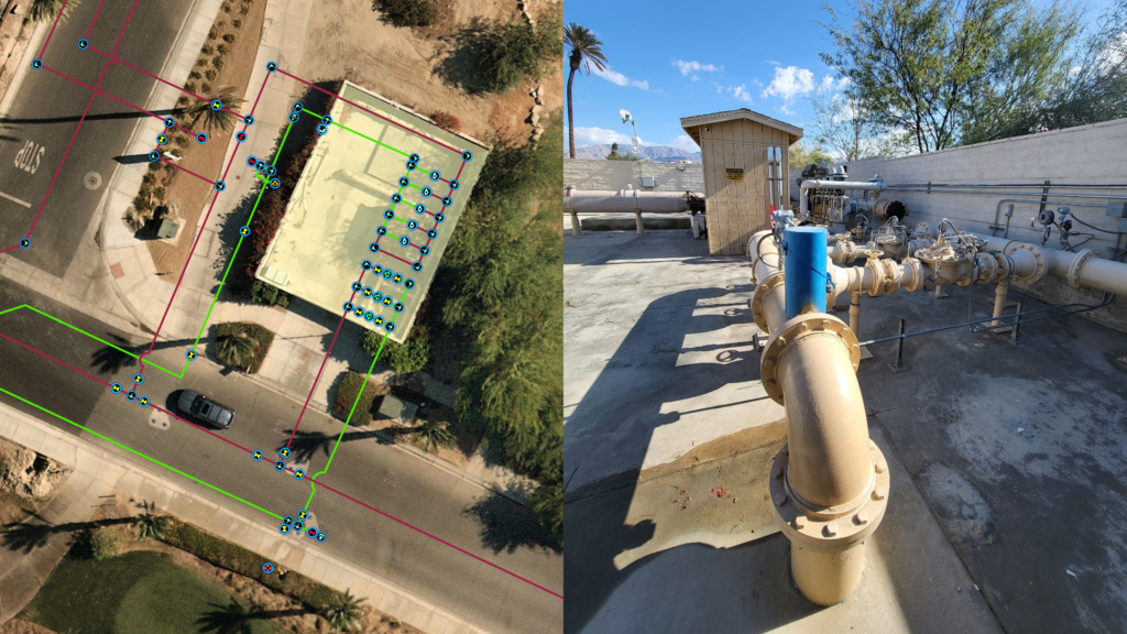
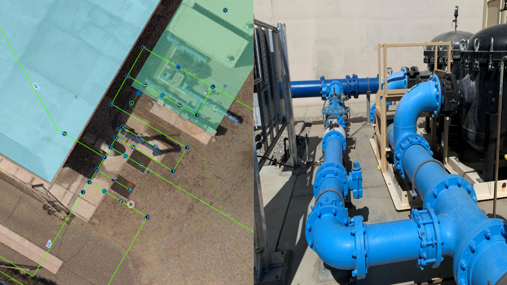
IWA had been using ArcGIS Desktop to edit its utility data and the geometric network. IWA wanted to modernize its entire GIS platform, and that included the implementation of ArcGIS Enterprise as well as the migration from ArcGIS Desktop to ArcGIS Pro, and from the geometric network to ArcGIS Utility Network.
Partner
With more than 900 staff members, Timmons Group is a well-established professional consulting firm providing information technology and engineering consulting services to utilities; state, local, tribal, and federal governments; and private clients. For this IWA project, Timmons Group, an Esri partner with the Network Management Specialty, was leveraged for ArcGIS Utility Network planning, data modeling, and migration/implementation; Cityworks reconfiguration and enhancements; and Neptune integration.
Solution
IWA migrated its water distribution geodatabase from the geometric network to the ArcGIS Utility Network model. Moving to the ArcGIS Utility Network platform positioned IWA to manage its water distribution assets into the future. IWA’s computerized maintenance management system platform Cityworks ASM was compatible with the ArcGIS Utility Network data model—this compatibility facilitated the transition and enabled IWA to optimize its data. IWA also revised its field business processes and workflows to benefit from the improved functionality of ArcGIS Utility Network. Additionally, the migration opened new opportunities for IWA to integrate its advanced metering infrastructure data from Neptune and analyze water consumption patterns.
After completing the integration, ArcGIS Utility Network began receiving nightly updates of several attributes from Neptune via a scheduled task. The integration is responsible for updating five data fields and about 30,000 records.
The IWAs project team was composed of leading experts in various fields related to asset management, such as engineering, customer service, finance, conservation, and operations. The project had executive support by the IWA and the City of Indio.
Results
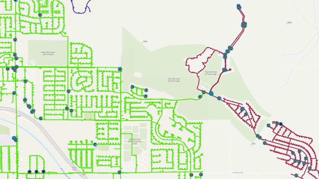
ArcGIS Utility Network has enhanced the GIS team’s ability to manage the IWA distribution system with more accuracy and efficiency. By enforcing data quality and consistency, ArcGIS Utility Network ensures that the IWA assets are always up-to-date and reliable. Field staff have been leveraging the mobile apps in ArcGIS Enterprise and Cityworks to access and update data from anywhere, anytime. ArcGIS Utility Network also provides more detailed and comprehensive information on the IWA production, distribution, and analysis processes, enabling the field staff to respond quickly and effectively to any situation. The real-time dashboards in ArcGIS Enterprise allow management to monitor and oversee the field operations with ease and transparency.
Learn more about location intelligence for AEC:
GIS for Architecture, Engineering, and Construction
Stay Connected with Esri’s AEC Team:
Join the Architecture, Engineering and Construction Community
Subscribe to the AEC industry newsletter “Esri News for AEC”.
About the author