Remembering the History of the Summit
I’ve been in the Rail Industry for many years and one event I always look forward to is the Esri North American GIS Summit. It is hard to believe that this event has been happening for now 23 years. I look forward to continuing the great tradition of rotating the host site around each of the railroads headquarters so everyone gets a chance to host, and have the opportunity to see each other’s place of work. The Rail GIS community has always been a tight one and we all lean on each other for tech trends, interpreting, and adapting new regulations (PTC) plus learning best practices for evangelizing our value within our own organizations. The summit is a great opportunity to reconnect with each other and continue our industry’s much needed collaboration.
Celebrating a First for Me and the GIS Profession
There’s a little extra excitement for me this year as it will be my first as an Esri employee and first time organizing the event from the inside! In keeping with tradition, our friends at BNSF have graciously agreed to host us all at their Headquarters Technology Center in Ft. Worth, Texas. We will have a two day event starting with a working lunch on Tuesday, November 14th. We then have a full day planned on Wednesday, November 15th including…some special events to celebrate the fact it will be GIS Day.
What to Expect at this Year’s Summit
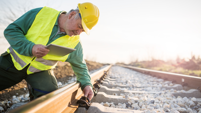
We plan to focus on several topics such as field mapping applications like mobile apps, drone collection and LiDAR collection and what can be done to store, present and extract the most information out for the best value. We’ll be discussing what’s new in Cloud based storage and tools to edit data, perform analysis and deliver the information to your business partners. We’ll have presentations from several of our peers on successful projects they’ve accomplished over the past year. There will be a round robin benchmarking session for all to participate in to share and understand the makeup of our GIS Departments and the responsibilities and challenges we’re all facing.
We have several other demos and presentations lined up and are finalizing the agenda now. We usually see all levels of the GIS organizations represented from Directors and VP’s overseeing the teams to Managers, Project manager, analysts, technicians, and developers. All are welcome and all will gain great insights into how best to use GIS to deliver value to our organizations.
The Summit has always been open and free to all railroaders. We review applications from those in the vendor, supplier and consultant space, but we encourage you to work with your clients to present those use cases. There will be sponsorships available and if you are interested in sponsoring please contact me. And last but not least, please use the link below to register for the 23rd Annual North American GIS Rail Summit.
Request to attend here: https://www.eventbrite.com/e/north-american-gis-rail-summit-tickets-695584701567