Environmental Protection

Take a geographic approach to protect our environment and natural resources.

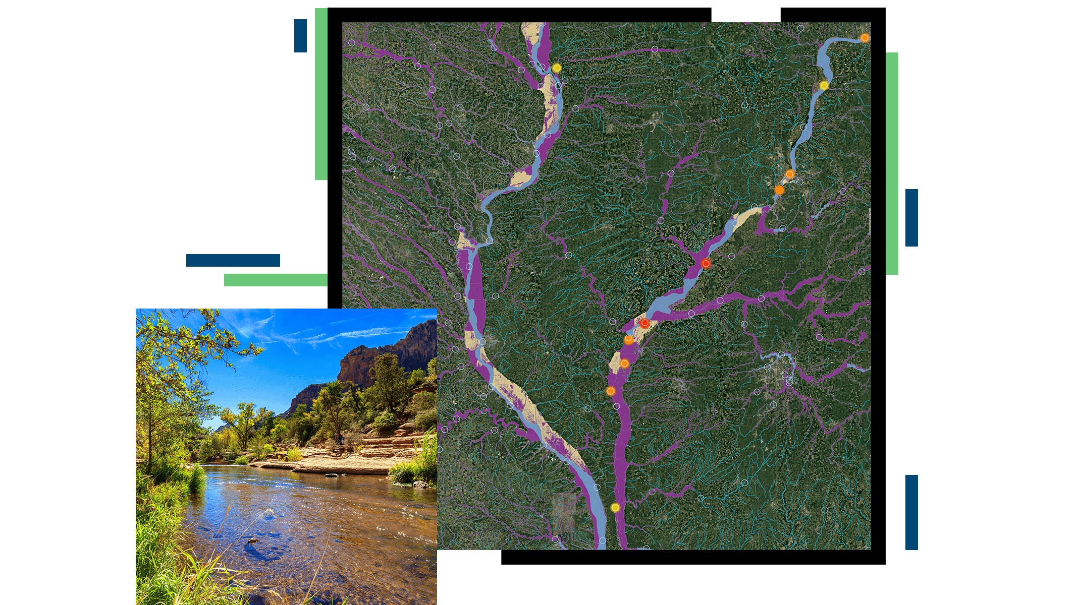
A large map with waterways marked in purple and blue, and a photo of a shallow river with tree-lined banks

Ensure access to clean land, air, and water

Environmental agencies use GIS-powered environmental management software to perform permitting, inform and implement policy and protections, engage communities, monitor assets in real time, and ensure transparency for better outcomes for all. Using a geographic approach helps track environmental health, support environmental justice, and identify pollution sources.

Streamline environmental protection

Balance growth and environmental protections by streamlining permitting processes while safeguarding the environment.

Promote compliance

Environmental agencies can promote compliance by streamlining business processes. With GIS, staff can conduct paperless permitting inspections offline, monitor assets remotely in real time, assess the status of processes, and automate tasks.

Map of hydrant maintenance in a neighborhood depicting hydrant location and maintenance status

Ensure equitable outcomes

With GIS, environmental agencies can analyze when, where, and how environmental burdens occur. Location-based technology and mapping tools allow this information to be combined with demographic data to show disproportionate impacts on communities, promote environmental equity, and engage the public on these important topics.

Map of the western United States with the state of California displaying pollution levels in various colors

Increase and maintain transparency

Environmental agencies can use GIS to communicate dynamic environmental policies and permitting requirements no matter where a project is located. Agencies can use and share tools to assist project planners, consultants, and others to collect and analyze data, apply for permits, ensure compliance with environmental laws and regulations, and conduct follow-up inspections in the field.

Map of Washington, DC and the surrounding area indicating dam inspection assignments, their, location, and status

Monitor environmental assets

Environmental agencies use real-time apps and dashboards to easily understand critical information about environmental quality, such as air and water quality. Using GIS to explore complex datasets allows agencies to easily uncover significant patterns, trends, correlations, and relationships.

Dashboard displaying water quality status for dams and bodies of water in the Washington, DC area and part of surrounding states

Blog post

Accessible Climate Data, Tools Bolster Resilience

Massachusetts communities use the ResilientMass climate data clearinghouse to inform and guide resilience project planning and implementation.

Read the blog

Products and solutions

Previous
Next

Environment and natural resources focus areas

Previous
Next

Contact us

Contact us

Outside the United States

Connect with the Esri State and Local Government team